


5 Trends in the ever-evolving surveying profession
By Craig Hill, Vice President of Geomatics, Reality Capture Marketing and Services at Leica Geosystems
More than 20 years ago when I was in university, we were trained on both analogue and digital surveying equipment. Using analogue equipment helped in the understating of measurement principals but more so, it has developed a much bigger appreciation of modern surveying equipment. A good example is how we used to measure distances with a steel chain and needed to make corrections for temperature and apply the correct tension to the chain. Now, distances are all measured electronically, with all corrections being automatically applied onboard the total station.
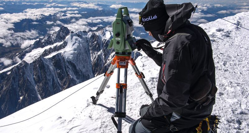
Another example is photogrammetry. We studied this field in university, but only few have used this knowledge after graduating. Today, however, with the unmanned aerial vehicle (UAV), photogrammetry using UAV aerial images to create point clouds that can be used for mapping and volumetric calculations has become wide-spread. Further to point clouds, now with terrestrial laser scanners, 2 million points per second are collected with millimetre accuracy. This was unthinkable 20 years ago and is revolutionising reality capture.
My first encounter with GPS satellite positioning was in the middle of the night. In those days, the GPS satellites were only available for a short period of time, which often happened in the middle of the night. Since then, the constellation of satellites has significantly increased over the years, and the surveying profession has embraced the technology enabling surveyors to increase productivity by doing ‘more with less’. Below are 5 trends in the ever-evolving nature of the surveying profession:
1. Surveyors do ‘more with less’

The surveying profession is currently very buoyant. With a worldwide construction boom, there is plenty of work for surveyors. The challenge to the profession, however, is that the average age of surveyors is rapidly increasing. The average age of the professional surveyor in the US for example, is currently 59 years old. It has become increasingly important to do more with less, and that’s where technology comes in. Only with constantly evolving technology are we able to keep up, making it possible to do ‘more with less’.
2. Surveyors are more than just surveyors
In the early days of surveying, surveyors could be thought of as pioneers, charting the uncharted. This has changed significantly over the years. No longer are days or weeks required to bring accurate coordinates to new areas, this can now be performed with GPS/GNSS positioning in a matter of minutes, if not seconds. But surveyors need to embrace modern technologies in order to succeed. From business professionals to digital connoisseurs, the modern surveyor now often becomes the data manager, playing an instrumental role in coordinating and managing the digital progression of a project.
3. Surveyors are embracing the latest technologies
Preliminary results from an ongoing research project looking at the needs of surveyors today by Leica Geosystems reveal 95 per cent of surveyors agree new technologies have made them more efficient at work. Furthermore, research results convey total stations and GPS/GNSS technologies are common place with more than 90 per cent utilisation, followed by laser scanning with more than 60 per cent and UAVs with 40 per cent utilisation. This clearly suggests surveyors are embracing the latest technologies. Another interesting finding is on the topic of an ageing profession – more than 50 per cent of the responses said that they would recommend surveying as a profession to friends/family.
4. The integration of new technologies is increasing productivity
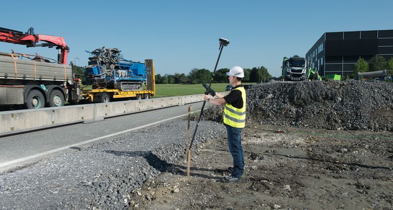
At Leica Geosystems, we understand surveyors need to do ‘more with less’ and we are continuing to invest in product development to make our customers more productive. A recent example is the release of the Leica GS18 T, the world’s fastest GNSS rover, that no longer requires the pole to be held vertical. With the integration of an Inertial Measurement Unit (IMU), the tilt of the pole is measured and significantly speeds up the measurement process. Our customers are telling us that productivity increases of more than 20 per cent are being achieved because of this innovation. At the other end of the spectrum, we routinely support the FIG (International Federation of Surveyors) Young Surveyors group and support universities and colleges with the supply of latest technology equipment and software to be used in their education programs.
5. Technology is making surveying available for everyone
Surveying is no longer only for university educated professionals. With technology making field work easier, many surveying tasks can be completed by appropriately trained personnel. The professional surveyor will more likely become the data/project manager and a key stakeholder in selecting the correct equipment to get the job done using the personnel available.
Digitalisation is a key theme of the evolving surveying profession. Embracing and mastering digitalisation will be a significant differentiator and ensure our profession remains viable and attracts the next generation.
