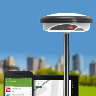
Whether you're surveying utilities, vegetation or features for survey grade accuracy, the C.R.Kennedy Geographic Information Systems portfolio has you covered. Our GIS hardware solutions, paired with our exciting data collecting software, ensure all data is saved instantaneously on site.
Get in touch > Contact Us Book a Demo Technical Support Book a Service
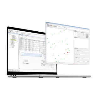
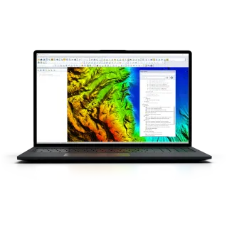
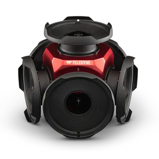
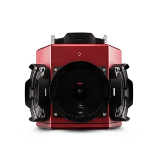
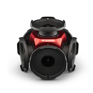
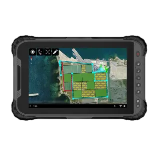
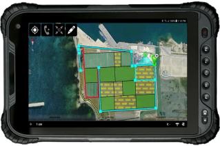
![]() C.R Kennedy GIS has worked closely with many Asset owners, Councils, Survey companies and utility specialists to ensure data is captured accurately and seamlessly. Achieving survey grade results, while capturing all attributes of the data, ensures your digital data can be shared seamlessly between various parties. This data can be exported and viewed in many different GIS and Survey platforms.
C.R Kennedy GIS has worked closely with many Asset owners, Councils, Survey companies and utility specialists to ensure data is captured accurately and seamlessly. Achieving survey grade results, while capturing all attributes of the data, ensures your digital data can be shared seamlessly between various parties. This data can be exported and viewed in many different GIS and Survey platforms.
Let C.R.Kennedy equip your teams with intelligent tools that expand their
capabilities, keep projects on schedule, and gain insights in real-time.
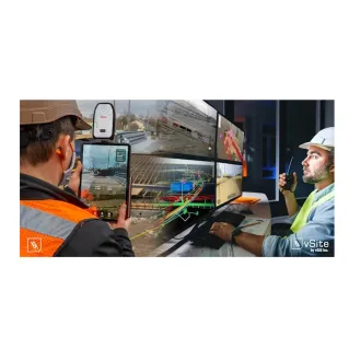
Geographic Information Systems(GIS) & Augmented Reality
are changing the way we gather, utilise, and 'see' survey data.
What is GIS ?
GIS is a very broad term, so let’s use an example to explain how GIS can help in your industry. In the utility industry it is vital that all Key information about the utility is recorded. GIS helps to record and maintain this valuable information, so it can be analysed and distributed seamlessly. This information can be used to manage the asset through its lifecycle. This is incredibly important to ensure assets are maintained regularly. Perhaps most importantly, GIS data capture ensures data is picked up at survey grade accuracy, and this helps to map the utility, potentially avoiding the risk of utility strikes.
What is Augmented Reality ?
Augmented Reality is the integration of Digital information with its surroundings. Placing the design of a 3d georeferenced model within the real world, ensures better decisions can be made before construction has even begun. Put simply, Augmented reality needs to be seen to be believed. The phrase a picture says a thousand words has never aged so well.
WHAT OUR CUSTOMERS SAY

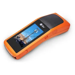
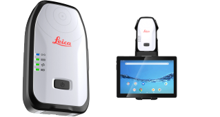
“Being restricted to accessing survey information solely when a surveyor is on-site has often caused delays when precise details are missed. With the introduction of the Leica FLX100 and Zeno Mobile software , these constraints have become a relic of the past. Quick and concise information can be surveyed on-site with little to no experience in surveying equipment allowing for enhanced workflows and flexible time scheduling. Overall, the Leica FLX100 and Zeno Mobile kit has been an innovative and positive change to the ever-changing construction industry and is highly recommended for organisations of any size.”
Alan Pham
Project Engineer
Ausconnex

“We are immensely pleased with the Leica FLX100 paired with Leica Zeno Mobile solution, which has revolutionised our work-as-executed data recording process within the water and sewer department at Kempsey Shire Council. The user-friendly interface of Zeno Mobile ensured our operators could adapt to the new technology quickly, while the precision of the FLX100 has greatly enhanced our GIS. We’ve now expanded the fleet to six units capturing everything from a new water meter install to a watermain break. C. R. Kennedy's exceptional support and training have been instrumental in our success.”
Glenn Burn
Technical Officer Network Operations
Kempsey Shire Council
Kempsey Shire Council

C.R. Kennedy is your national partner for all positioning needs from surveying to machine control, building construction to reality capture and everything in-between. Wherever you are in Australia, C.R. Kennedy are with you, providing an unparalleled level of service and support from industry experts to get the job done safely and efficiently.
Shop Safely and Securely with
@ C.R.Kennedy Geospatial Solutions
Our Brands
© 2026 C.R. KENNEDY. All rights reserved.
ICON SITE EXCAVATOR
SPECIAL OFFER - LIMITED TIME
A simple machine control solution ideal for compact excavators — with a big payoff!


/geolantis-manager---a-cloud-powered-central-dashboard-for-data-management---analysis.jpg)
/geolantis-collector---next-generation-platform-to-manage-data-collection-and-management.jpg)