C.R.Kennedy is the sole and exclusive distributor in Australia for Swiss giant Leica Geosystems (now a Hexagon company) and distributor for other leading manufacturers and brands such as HxGN SmartNet, Geolantis, Riegl Laser Systems, CHCNAV, Vivax Metrotech, Amberg Rail, DJI, Scientific Aerospace, Uaver, Myzox, Pentax, Optech, Tajima, Tuf Lasers, Intuicom, Satel, and many more.

C.R. Kennedy is your national partner for all positioning needs from surveying to machine control, building construction to reality capture and everything in-between. Wherever you are in Australia, C.R. Kennedy are with you, providing an unparalleled level of service and support from industry experts to get the job done safely and efficiently.
Shop Safely and Securely with
@ C.R.Kennedy Geospatial Solutions
Our Brands
© 2026 C.R. KENNEDY. All rights reserved.
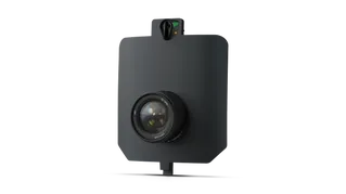
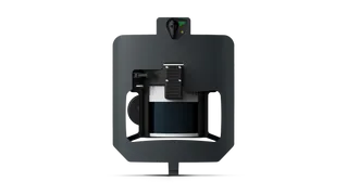
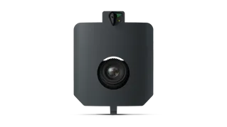
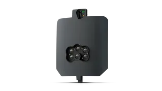
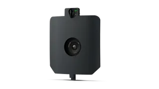
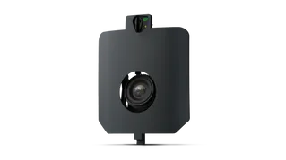
ICON SITE EXCAVATOR
SPECIAL OFFER - LIMITED TIME
A simple machine control solution ideal for compact excavators — with a big payoff!