


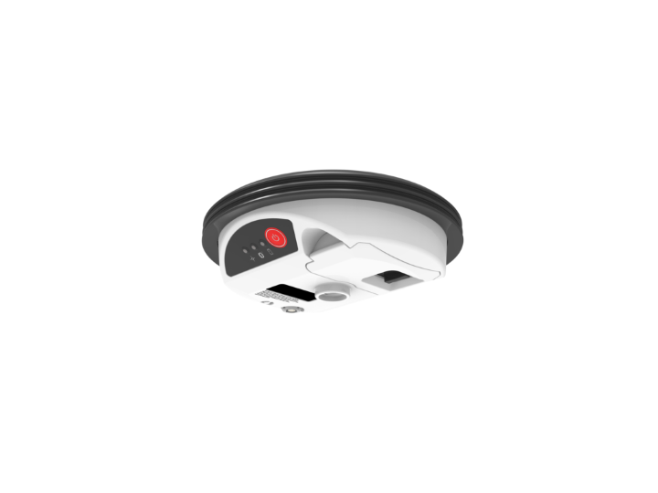
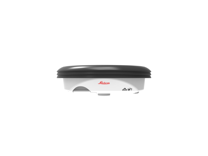
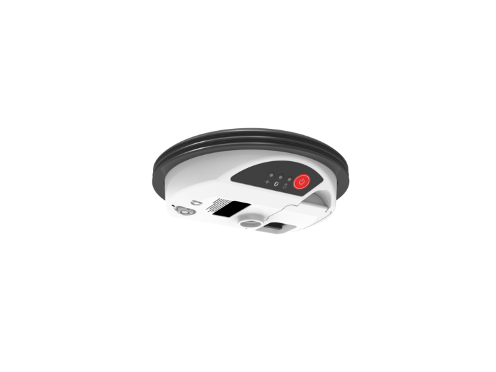
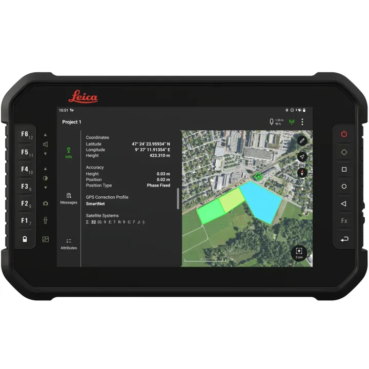
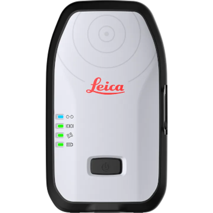
Leica GG04 Plus Smart Antenna, iOS, Android and Windows
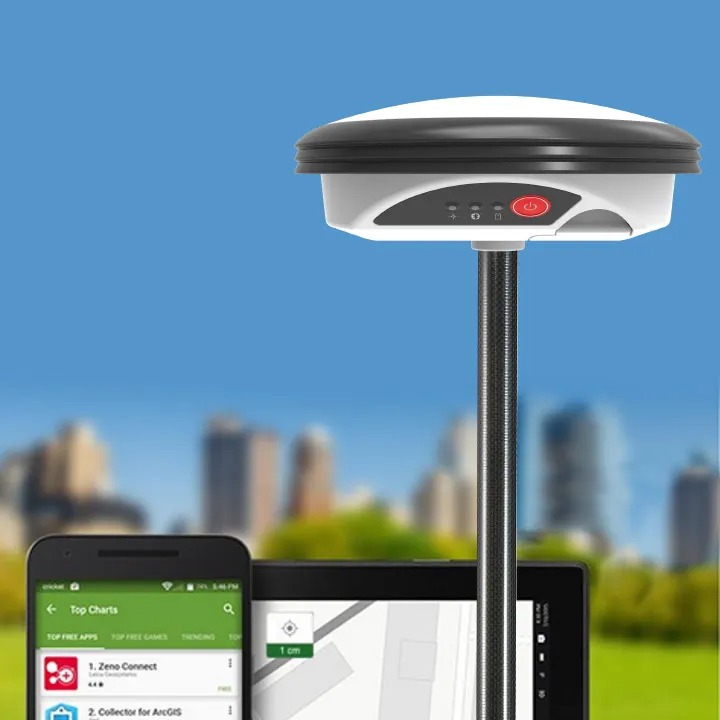
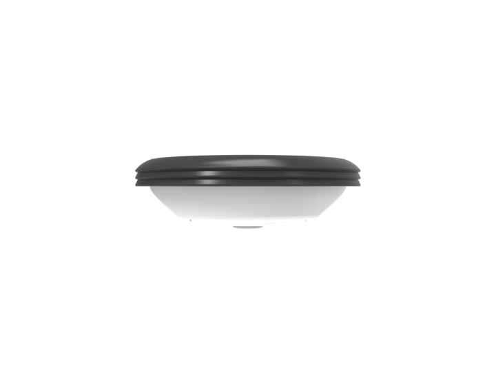
The Leica Zeno GG04 Smart Antenna can pair with a wide range of IOS, Android or Windows smart devices. With cutting-edge GNSS technology and industry leading 555 channel tracking, the Leica Zeno GG04 plus brings the power into the hands of all. Leica Zeno mobile one is the perfect software application for the Leica GG04 plus smart antenna. Applying Precise Point Positioning (PPP) to the Leica GG04 plus, ensures you achieve survey grade data in areas of both 4G and none 4G coverage.
Smart device independence
- Use your existing smartphone or tablet
- Available for Android, Apple and Windows®
- Bluetooth® connection ensures cable free operation
Enhanced tracking performance
- 555 channels support an increased number of satellites
- State-of-the-art GNSS technology
- Ready for future GNSS developments
Precise point positioning (PPP)
- Achieve high accuracy data collection without a mobile data connection
- Available anywhere in the world, anytime
- Removes reliance on post processing
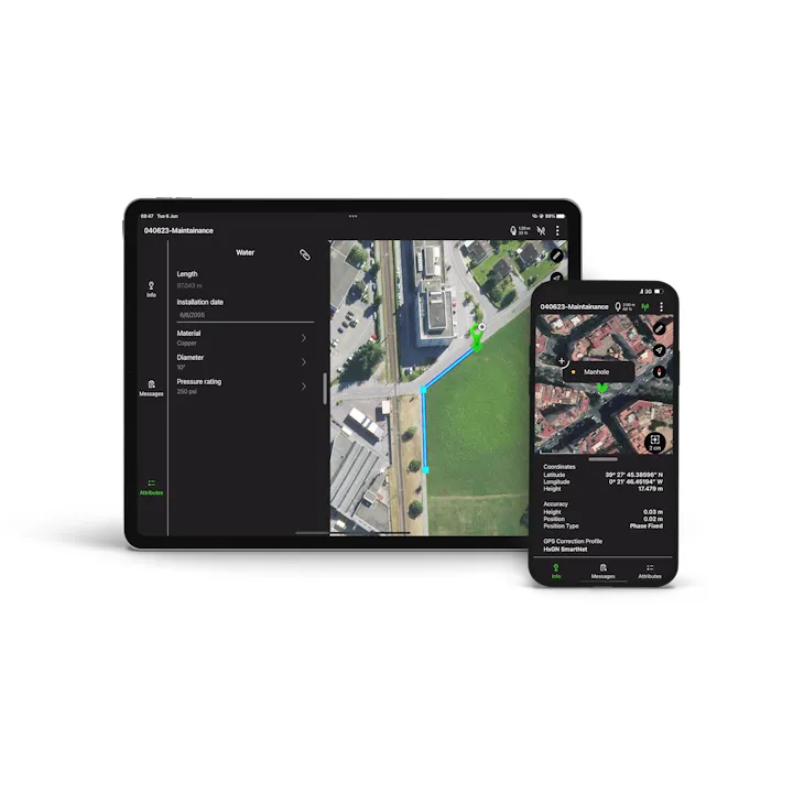
Extensive software support
- Use with your favourite data collection apps and software
- No development efforts required
- Provides NMEA messages output on different Bluetooth® ports to allow reviewing and storing of GNSS metadata information
Built to last
- IP68 protection ensures water and dustproofing
- Continuous performance in all environments
- All day battery life
Leica Geosystems compatible software
- Zeno Mobile
- Zeno Field, Zeno Connect
- Zeno Office
- MobileMatriX
| Brochures | |
|---|---|
| Leica GG04 Plus Smart Antenna, iOS, Android and Windows - Brochure | Datasheets |
| Leica GG04 Plus Smart Antenna, iOS, Android and Windows - Datasheet | Product Manuals |
| Leica GG04 Plus Smart Antenna, iOS, Android and Windows - Product Manual | Specifications |
| Leica GG04 Plus Smart Antenna, iOS, Android and Windows - Specifications |
Brand: Leica Geosystems |
Code: LG844565
APN: 9319499039172 |
Supplier Code: 844565

Brand: Leica Geosystems |
Code: LG844565
APN: 9319499039172 |
Supplier Code: 844565
At a glance
The Leica Zeno GG04 Smart Antenna can pair with a wide range of IOS, Android or Windows smart devices. With cutting-edge GNSS technology and industry leading 555 channel tracking, the Leica Zeno GG04 plus brings the power into the hands of all. Leica Zeno mobile one is the perfect software application for the Leica GG04 plus smart antenna. Applying Precise Point Positioning (PPP) to the Leica GG04 plus, ensures you achieve survey grade data in areas of both 4G and none 4G coverage.
