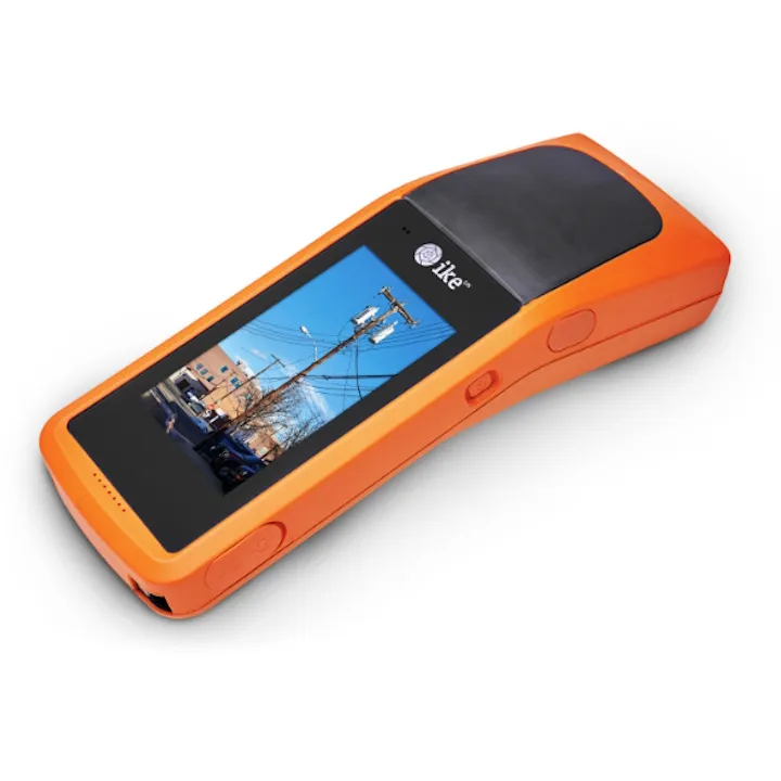
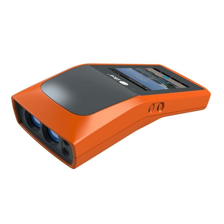
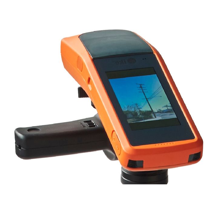
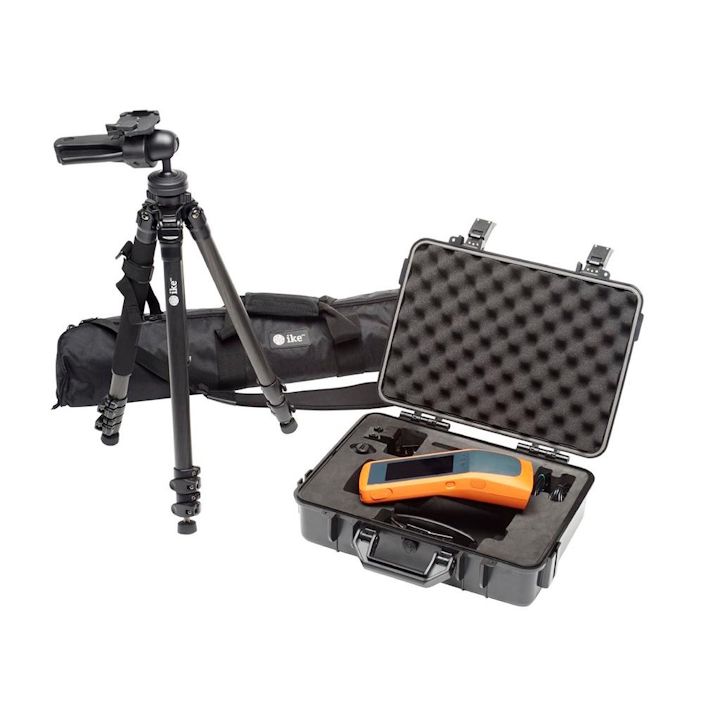
ikeGPS IKE Device - 4+ (RTK GPS enabled) incl. trip
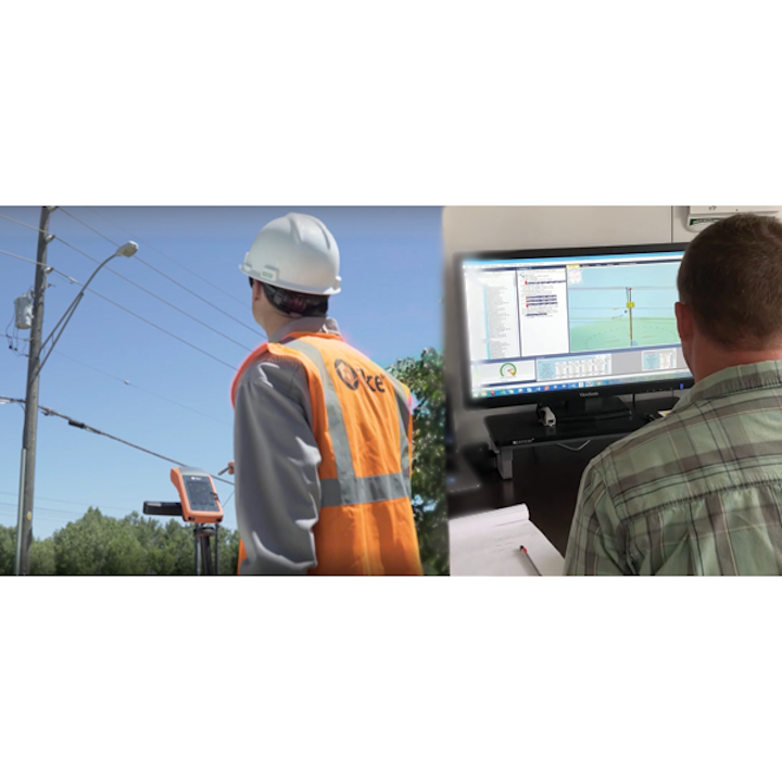
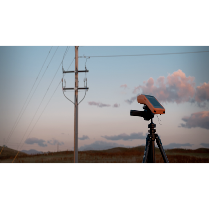
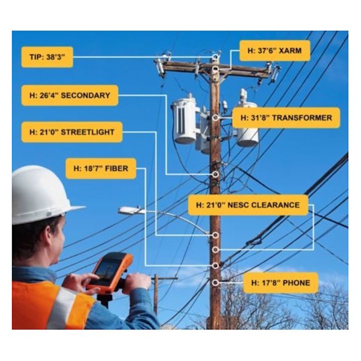
Field data collection device for field services who want a device that combines laser measurement, photography, and highly accurate GPS that enables precision measurement of utility poles
Benefits include
Capture Measurable images
One Tap captures an IKE Photo, this phot can then be measured in IKE Office pro.
Midspan Heights
Collect midspan heights using the inbuilt range finder and RTK GPS function.
Vector Tool
Picking up point to point distance for spans and anchor leads.
Pole location
Pole can be surveyed using the range finder from a distance.
Reference Photos
Taking photos of Pol tags, vegetation or pole defects.
Capturing Bearing
The hardest measurement for pole loading is easy with bearing tool.
| Accuracy | ±5cm RMS1 |
| GNSS Constellations | GPS/GLONASS L1/L2 |
| GNSS Horizontal Accuracy (R95) | SBAS: 2m Standalone: 1m RTK (IKE+ only)²: 10cm |
| GNSS Vertical Accuracy (95%) | RTK (IKE+ only)²: 20cm |
| Camera Resolution | 10 Megapixels |
| Laser Class | Class 1M |
| Laser Range | 300m |
| IMU Magnetic Heading Accuracy | 2º RMS |
| IMU Pitch / Roll Accuracy | 0.5º RMS |
| Memory | 2GB RAM 16GB on-board Flash 32GB micro SD |
| LCD Touch Screen | 5" |
| Battery | Lithium-Ion Polymer, 3.7 V, 8200mAh |
| Operating Time | 8-10 battery life |
| Dimensions | 65 mm (Height) x 96 mm (Width) x 265 mm (Length) |
| Weight | 904g |
| Dust, Water Resistant | IP53 |
| Datasheets | |
|---|---|
| ikeGPS IKE Device - 4+ (RTK GPS enabled) incl. trip - Datasheet |
Brand: ike GPS |
Code: 400-00202
Supplier Code: 999-01257
Brand: ike GPS |
Code: 400-00202
Supplier Code: 999-01257
At a glance


