


Geolantis 360 GIS Cloud Software
/geolantis-manager---a-cloud-powered-central-dashboard-for-data-management---analysis.jpg)
.tag.1.png)
.tag.2.png)
.tag.3.png)
.tag.5.png)
Geolantis.360 is a cloud-powered mapping & workforce management platform that delivers GIS, CAD and Asset Management to mobile field crews.
Almost all utility network operators and contractors use a series of manual steps to get data from and to the field. It's more or less a manually triggered sequence of import and export functions or rarely documented scripts. To manage a field job several systems needs to be operated by the field crew. Open emails with job descriptions or Word documents manually copied to the device, view utility drawings in a CAD Viewer and use a mapping application to "collect" surveying points. More than 50% of enterprises still use paper forms to "side-document" their field jobs.
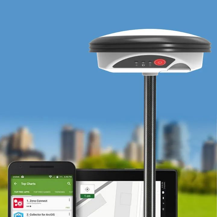
For field crews performing installation and maintenance work the ability to accurately pinpoint the location of assets in the field is absolutely essential.
_01.png)
_02.png)
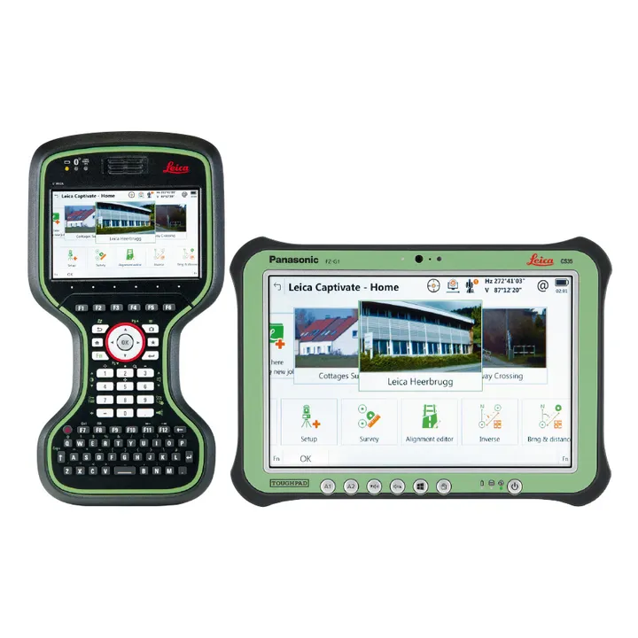
Geolantis.360 is a game changer in office & field collaboration. It's a next generation platform to manage data collection, inspections and asset management. The unique fully integrated solution delivers unparalleled performance. Geolantis.360 creates a ROI in months, not years, by delivering powerful & reliable solutions that transform the field into a business center. It encompasses all map viewing and navigation capabilities while hiding the complexity of GIS and CAD systems to provide the same level of detail to mobile users.

/geolantis-collector---next-generation-platform-to-manage-data-collection-and-management.jpg)
Brand: Geolantis.360 |
Code: G360-C2 (YR)
Supplier Code: G360-C2Y

Brand: Geolantis.360 |
Code: G360-C2 (YR)
Supplier Code: G360-C2Y
At a glance
Geolantis.360 is a cloud-powered mapping & workforce management platform that delivers GIS, CAD and Asset Management to mobile field crews.
|
Almost all utility network operators and contractors use a series of manual steps to get data from and to the field. It's more or less a manually triggered sequence of import and export functions or rarely documented scripts. To manage a field job several systems needs to be operated by the field crew. Open emails with job descriptions or Word documents manually copied to the device, view utility drawings in a CAD Viewer and use a mapping application to "collect" surveying points. More than 50% of enterprises still use paper forms to "side-document" their field jobs. For field crews performing installation and maintenance work the ability to accurately pinpoint the location of assets in the field is absolutely essential. |
|
|
|
Geolantis.360 is a game changer in office & field collaboration. It's a next generation platform to manage data collection, inspections and asset management. The unique fully integrated solution delivers unparalleled performance. Geolantis.360 creates a ROI in months, not years, by delivering powerful & reliable solutions that transform the field into a business center. It encompasses all map viewing and navigation capabilities while hiding the complexity of GIS and CAD systems to provide the same level of detail to mobile users.
|
