


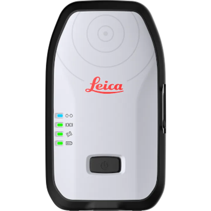
vSite Digital Twin Software

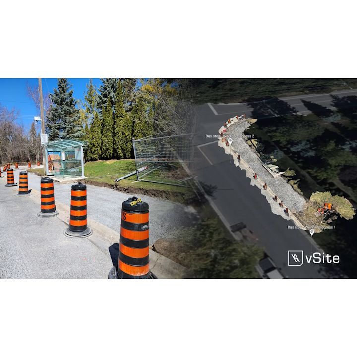
- Web Based 3D Digital Twin Platform
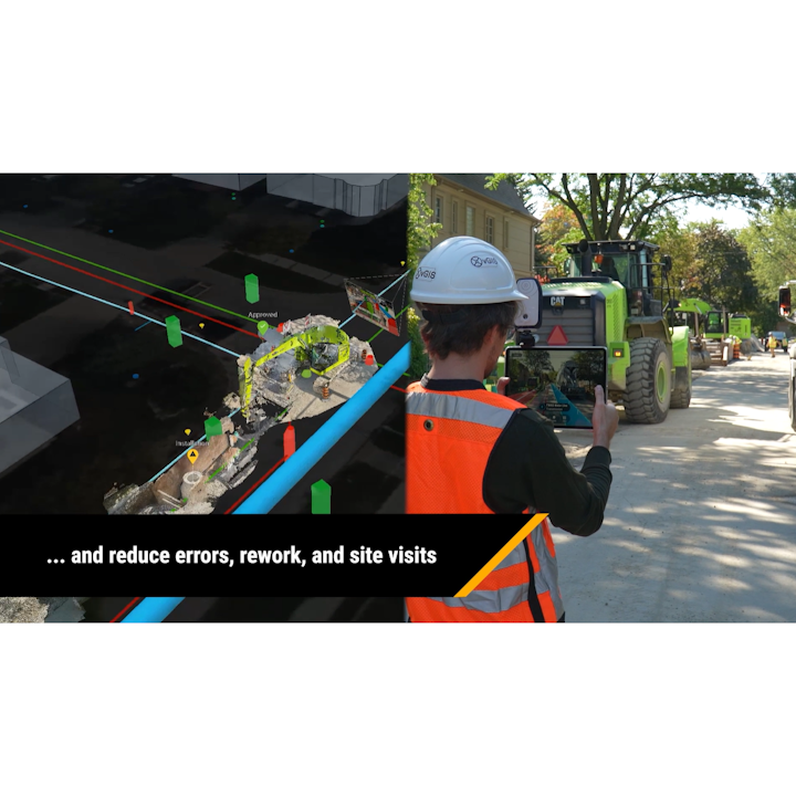
- Works hand in hand with vGIS Augmented Reality
- Seamlessly imports georeferenced scans from vSCAN app in minutes
- Compatible with many formats including Shapefiles, IFC, Bentley, Esri, Autodesk, KML, PIX4D and more
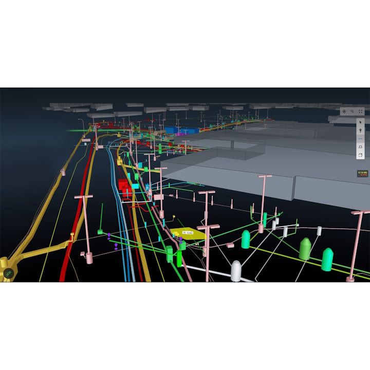
vGIS is designed to aggregate data from multiple sources and formats. The system can display 3D models as accurate to-scale holograms and it can convert traditional 2D GIS data into BIM-quality 3D visuals.
Related Categories
GIS Asset Mapping Software
Brand: vGIS |
Code: VGIS-VSITE-A
Supplier Code: VGIS-VSITE-A

Brand: vGIS |
Code: VGIS-VSITE-A
Supplier Code: VGIS-VSITE-A
At a glance
- Web Based 3D Digital Twin Platform
- Works hand in hand with vGIS Augmented Reality
- Seamlessly imports georeferenced scans from vSCAN app in minutes
- Compatible with many formats including Shapefiles, IFC, Bentley, Esri, Autodesk, KML, PIX4D and more
Related Categories
GIS Asset Mapping Software
