Pix4D Photogrammetry Software

PIX4D is the leading photogrametry package, ideal for Surveying, Mining, Public Safety, Construction, Agriculture and Education industries.
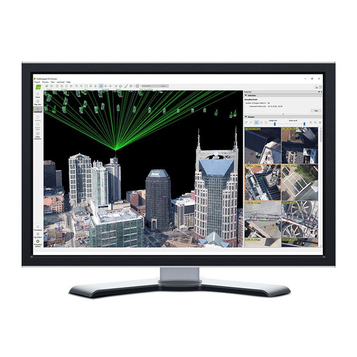
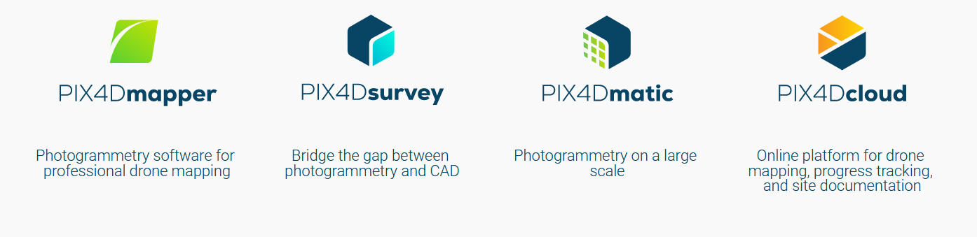
Pix4Dmapper Capture RGB, thermal, or multispectral images with any camera or drone and import them to PIX4Dmapper.


Pix4Dmatic Next generation photogrammetry software for professional drone and terrestrial mapping. The optimized software for next level surveying and mapping challenges.
Pix4Dsurvey Bridge the gap between photogrammetry and CAD. Extract only the most relevant information to speed up and simplify your surveying workflows.


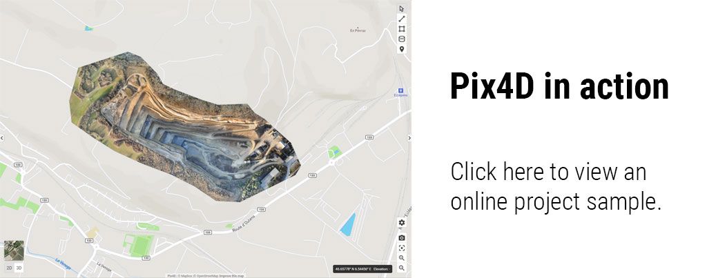
Pix4Dcloud Online Platform for drone, mapping, progress tracking and site documentation.
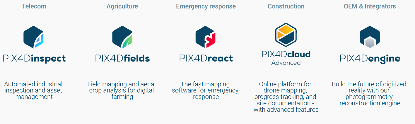
Pix4Dcloud Advanced Online Platform for drone, mapping, progress tracking and site documentation. Track and document site progress with visual Timeline


Pix4Dfields Hybrid drone and satellite mapping software for aerial crop analysis and precision agriculture
Pix4Dreact 2D fast-mapping for emergency response and public safety


Pix4Dengine Build the future of digitized reality with our fully customizable photogrammetry reconstruction engine
| Comparison Charts | |
|---|---|
| Pix4D products master comparison table - Comparison Chart | Brochures |
| pix4d - Brochure | Datasheets |
| Pix4D Photogrammetry Software - Datasheet |


Related Categories
Software
Agricultural Drones
Photogrammetry Software
Pix4D Photogrammetry Software
Brand: Pix4D |
Code: PIX4D
Supplier Code: PIX4D
Brand: Pix4D |
Code: PIX4D
Supplier Code: PIX4D
At a glance
PIX4D is the leading photogrametry package, ideal for Surveying, Mining, Public Safety, Construction, Agriculture and Education industries.
Related Categories
Software
Agricultural Drones
Photogrammetry Software
Pix4D Photogrammetry Software
The Only Drone Mapping & Photogrammetry Software Tools With a Flight App, Desktop, and Cloud Platforms
Photogrammetry and Geospatial software
Industry specific applications
Data capture applications
Data capture devices