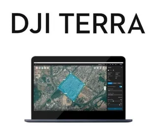
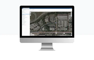
Photogrammetry software processes your aerial imagery to allow 3D modelling and spatial measurements by utilizing algorithms to extract key data points from images, significantly reducing the time and effort required compared to traditional manual methods. Create highly accurate and detailed 3D models, orthographic images, DTMs and points clouds, allowing for precise measurements and analysis.
Get in touch > Contact Us Book a Demo Technical Support Book a Service


C.R. Kennedy is your national partner for all positioning needs from surveying to machine control, building construction to reality capture and everything in-between. Wherever you are in Australia, C.R. Kennedy are with you, providing an unparalleled level of service and support from industry experts to get the job done safely and efficiently.
Shop Safely and Securely with
@ C.R.Kennedy Geospatial Solutions
Our Brands
© 2026 C.R. KENNEDY. All rights reserved.
ICON SITE EXCAVATOR
SPECIAL OFFER - LIMITED TIME
A simple machine control solution ideal for compact excavators — with a big payoff!