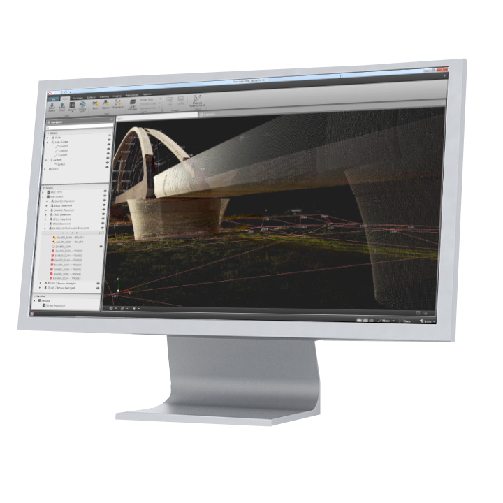
Leica Infinity Geospatial Office Software
- User-friendly geospatial office software.
- Seamless data transfer from instrument to PC.
- 3D map view in the central working area.
- User with TPS, GNSS, images, laser scans and more.
Leica Infinity is the user-friendly geospatial office software for the measurement professional. Whether it’s measuring new survey projects or preparing data for construction layout jobs, Infinity supports your workflow.
Different data come together on a field project – BIM, CAD, GIS and more. Infinity can extract and export these data types seamlessly. Using the integrated data exchange services Leica Exchange and Leica ConX makes moving data that much more efficient.
Infinity supports your workflows:
- Import, visualise, and manage data easily, all in the 3D viewer
- Prepare survey or infrastructure data including roads, surfaces and control points for field crews
- Generate and save reports in your project for complete traceability
- Process Terrestrial TPS & Level data and Triple frequency multi constellation GNSS data
- Full 3D, 2D, 1D Network Adjustments to produce reliable control coordinates
- Use and manage images from the field including measuring points from images
- Work with scan point data including full 3D meshing tools
- Field to Finish for efficient CAD deliverables
- Leica SmartNet integration for downloading GNSS reference data
- Complete spatial awareness with HxIP imagery and default base maps
- Use the Leica Exchange, Leica ConX data services for efficient data transfer
| Brochures | |
|---|---|
| LG851484 - Brochure | Datasheets |
| Leica Infinity Geospatial Office Software - Datasheet |
Leica Geosystems has developed an online learning platform for a wide range of products, to further educate customers to maximise the functionality of their instruments.
Our products have many excellent features which all contribute to increasing efficiency on site and the online learning platform assists you to gain the most value from your products.
The online learning courses are available to anyone who has a Leica Geosystems myWorld account, and an active Customer Care Package (CCP) for supported products.
Brand: Leica Geosystems |
Code: LG851484
Supplier Code: 851484
Brand: Leica Geosystems |
Code: LG851484
Supplier Code: 851484
At a glance
- User-friendly geospatial office software.
- Seamless data transfer from instrument to PC.
- 3D map view in the central working area.
- User with TPS, GNSS, images, laser scans and more.


