


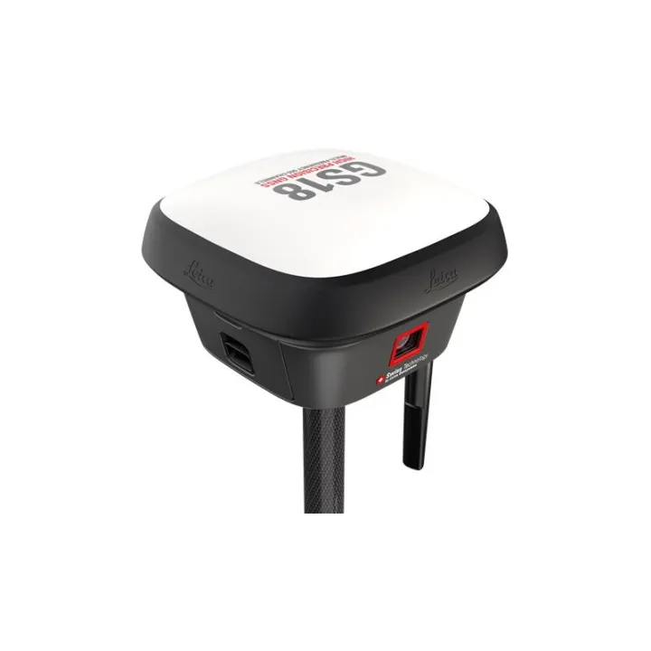
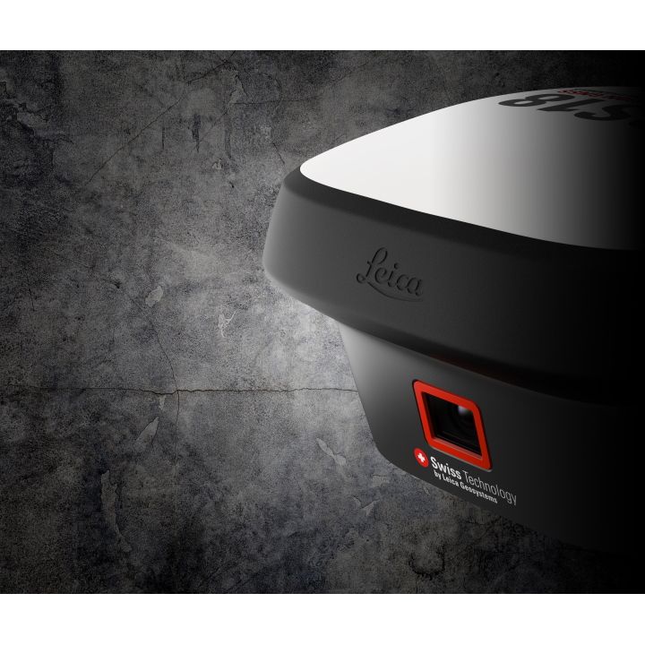
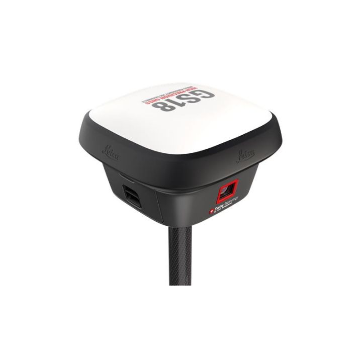
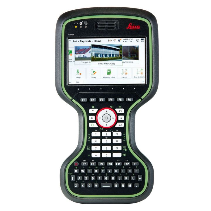
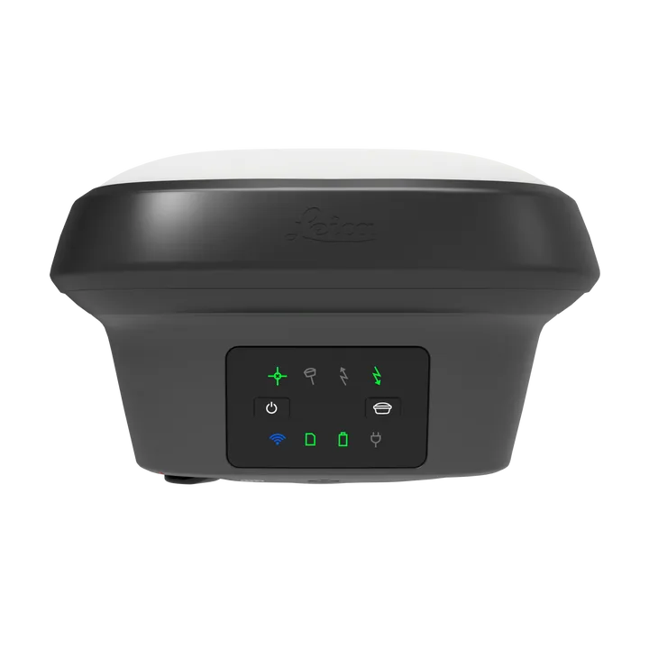
Leica GS18 I GNSS RTK Rover with Visual Positioning
- Measure points with obstructed view to the sky more efficiently and easily.
- Capture points you couldn’t reach before with a GNSS rover.
- Map hundreds of points with survey-grade accuracy within minutes.
Innovative
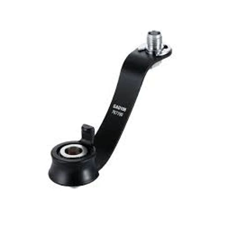
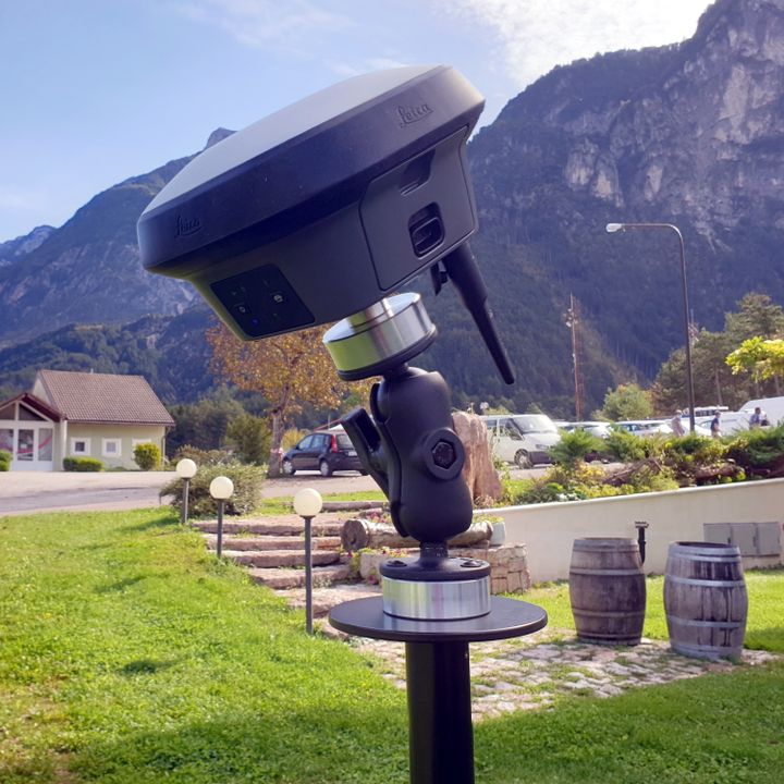
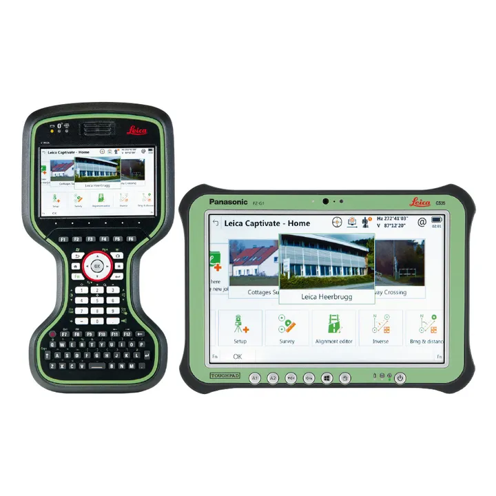
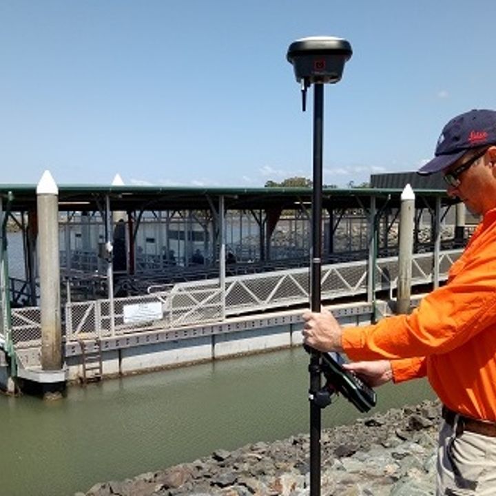
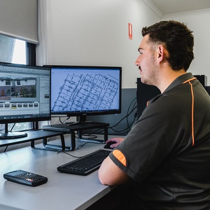
The Leica GS18 I is an accurate and easy to use GNSS RTK Rover. It utilises highly innovative Visual Positioning technology based on seamless integration of GNSS, IMU and a camera. It enables you to measure survey grade points in images on site and in the office. Create point clouds from captured data with Infinity to expand possibilities even further.


Fast
Designed to measure large amount of points efficiently. Leica GS18 I allows you to capture images and measure hundreds of points within minutes. There's no need to physically reach the point to measure it. This allows you to reduce time spent on-site and cut down re-work: once you captured the site, you can measure all details whenever you want to.
Versatile
Imaging power has changed the rules of the game. By having the power to measure what you see, you can now reach places you couldn’t before without switching tools or climbing through obstacles. That gives you the flexibility in the field, frees up equipment and crews, and truly maximises productivity in your projects which results in increased profits.

| Comparison Charts | |
|---|---|
| Leica GS18 I GNSS RTK Rover with Visual Positioning - Comparison Chart | Datasheets |
| Leica GS18 I GNSS RTK Rover with Visual Positioning - Datasheet | Product Manuals |
| Leica GS18 I GNSS RTK Rover with Visual Positioning - Product Manual |


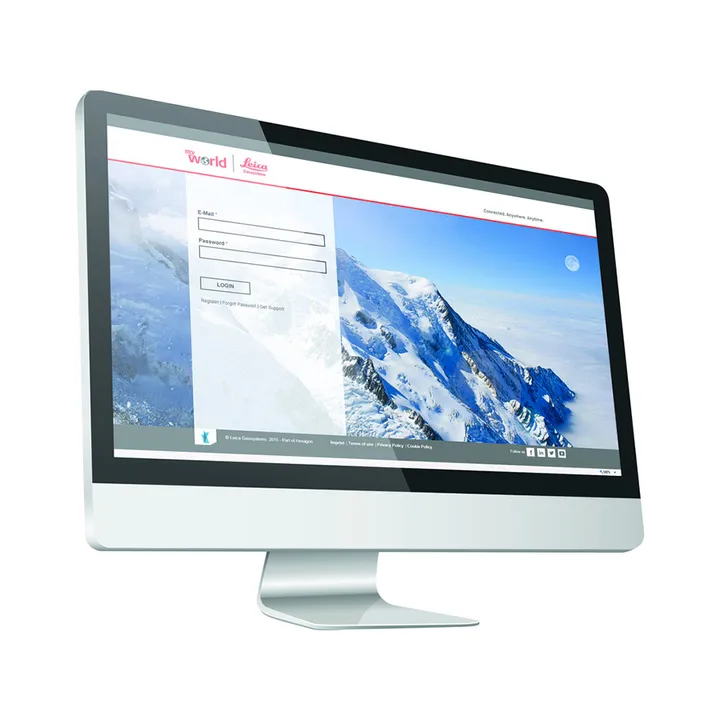
Leica Geosystems has developed an online learning platform for a wide range of products, to further educate customers to maximise the functionality of their instruments.
Our products have many excellent features which all contribute to increasing efficiency on site and the online learning platform assists you to gain the most value from your products.
The online learning courses are available to anyone who has a Leica Geosystems myWorld account, and an active Customer Care Package (CCP) for supported products.


Brand: Leica Geosystems |
Code: LG864383
APN: 9319499326883 |
Supplier Code: 864383

Brand: Leica Geosystems |
Code: LG864383
APN: 9319499326883 |
Supplier Code: 864383
At a glance
- Measure points with obstructed view to the sky more efficiently and easily.
- Capture points you couldn’t reach before with a GNSS rover.
- Map hundreds of points with survey-grade accuracy within minutes.
InnovativeThe Leica GS18 I is an accurate and easy to use GNSS RTK Rover. It utilises highly innovative Visual Positioning technology based on seamless integration of GNSS, IMU and a camera. It enables you to measure survey grade points in images on site and in the office. Create point clouds from captured data with Infinity to expand possibilities even further. |
|
|
|
FastDesigned to measure large amount of points efficiently. Leica GS18 I allows you to capture images and measure hundreds of points within minutes. There's no need to physically reach the point to measure it. This allows you to reduce time spent on-site and cut down re-work: once you captured the site, you can measure all details whenever you want to. |
VersatileImaging power has changed the rules of the game. By having the power to measure what you see, you can now reach places you couldn’t before without switching tools or climbing through obstacles. That gives you the flexibility in the field, frees up equipment and crews, and truly maximises productivity in your projects which results in increased profits. |
|
News | Feb 10, 2021
News | Mar 10, 2022
Leica Geosystems has developed an online learning platform for a wide range of products, to further educate customers to maximise the functionality of their instruments.
Our products have many excellent features which all contribute to increasing efficiency on site and the online learning platform assists you to gain the most value from your products.
The online learning courses are available to anyone who has a Leica Geosystems myWorld account, and an active Customer Care Package (CCP) for supported products.
