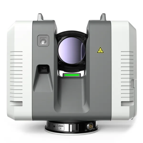
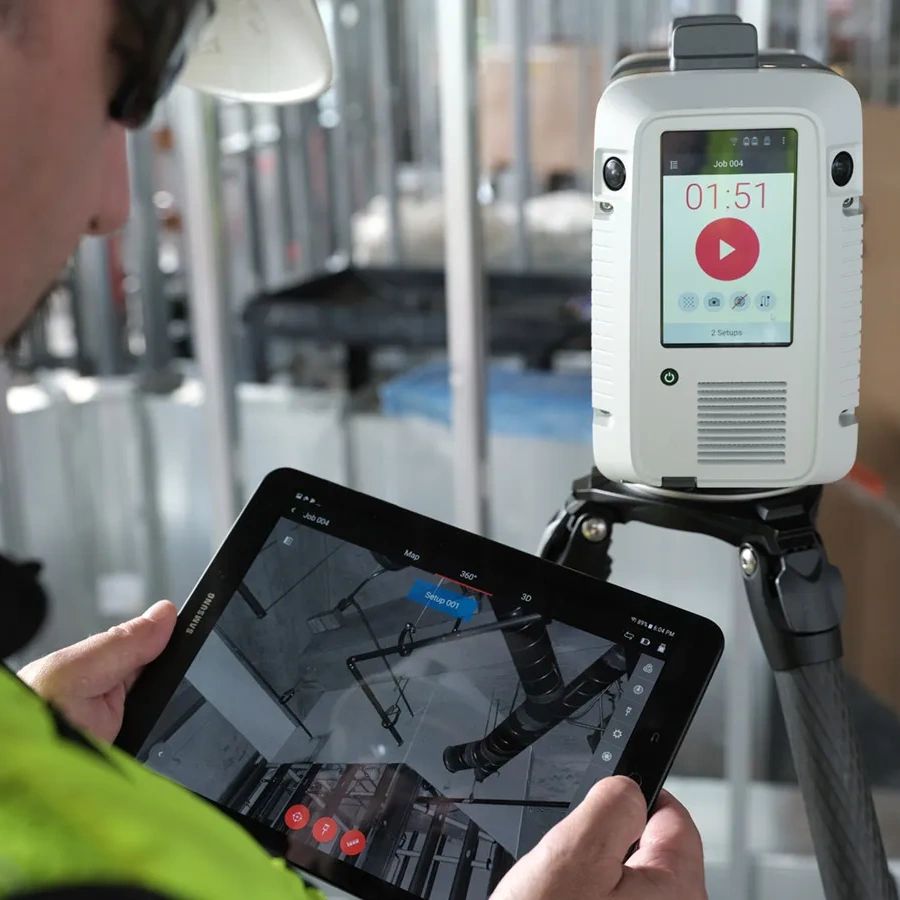
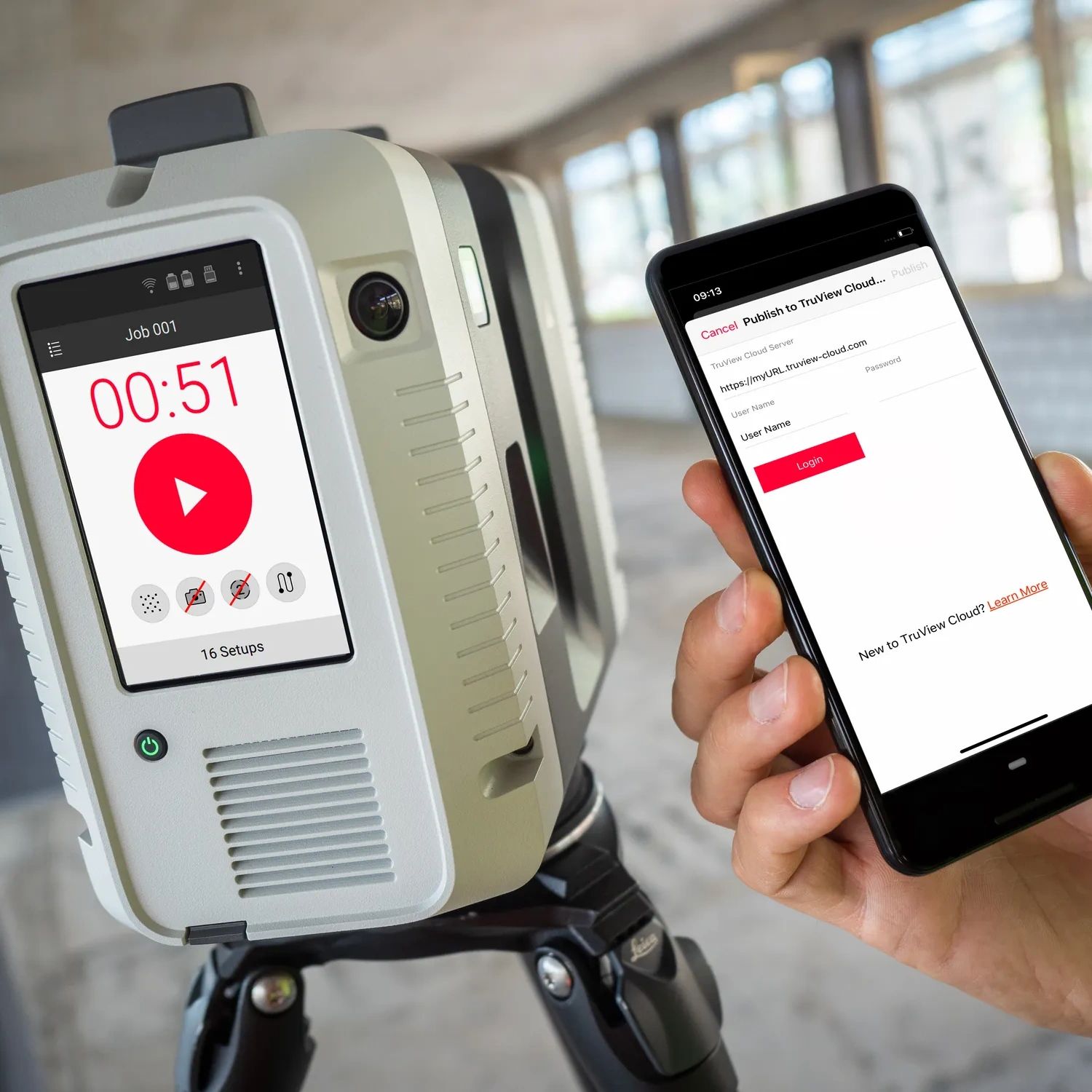
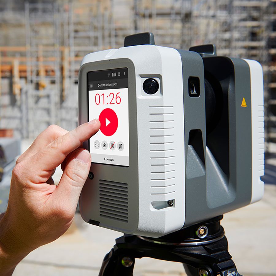
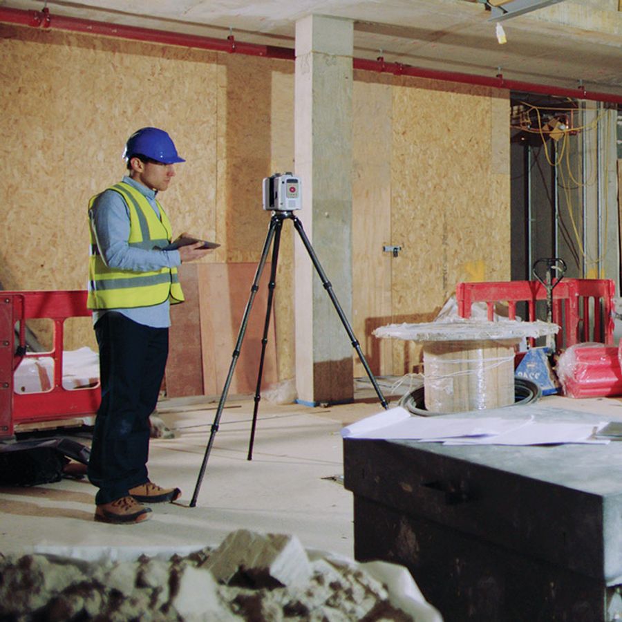
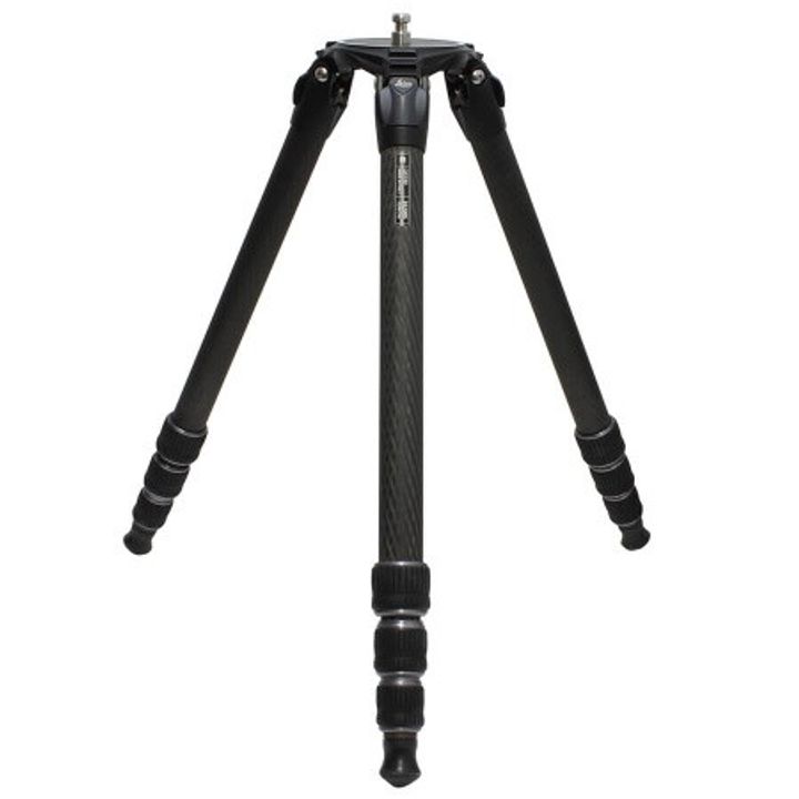
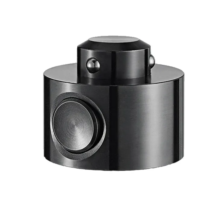
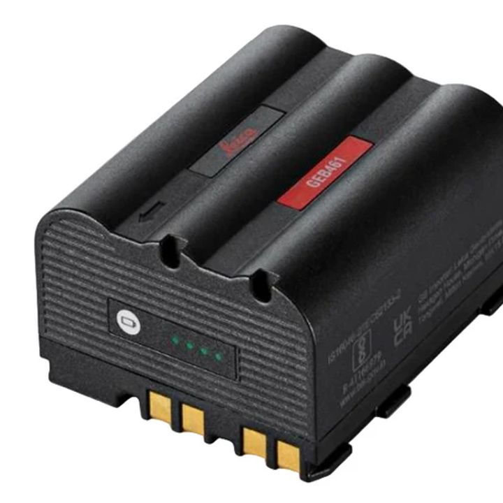
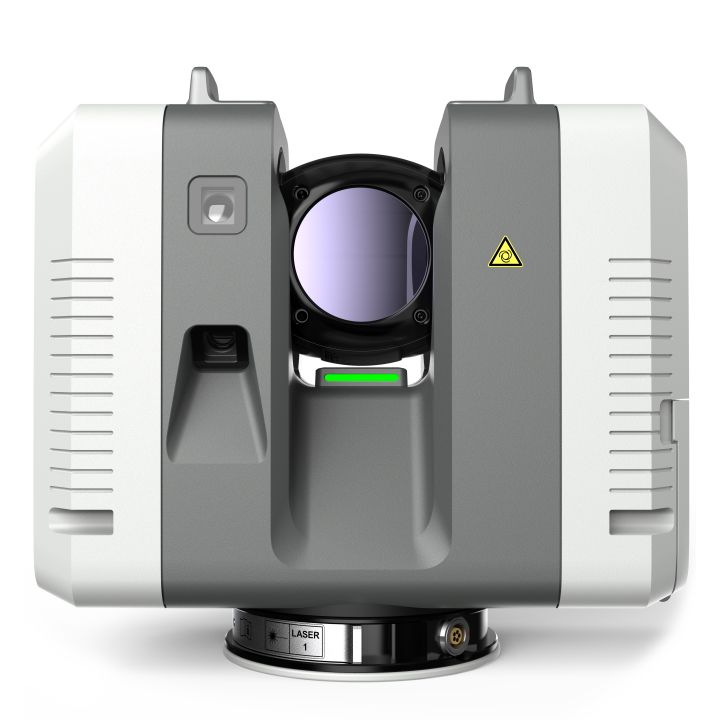
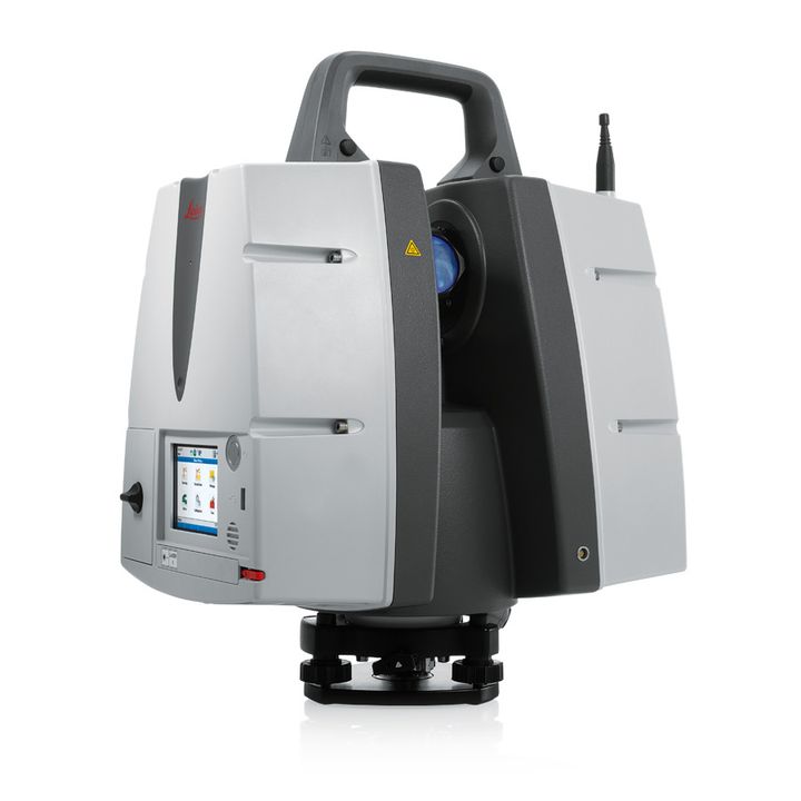
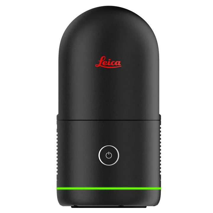
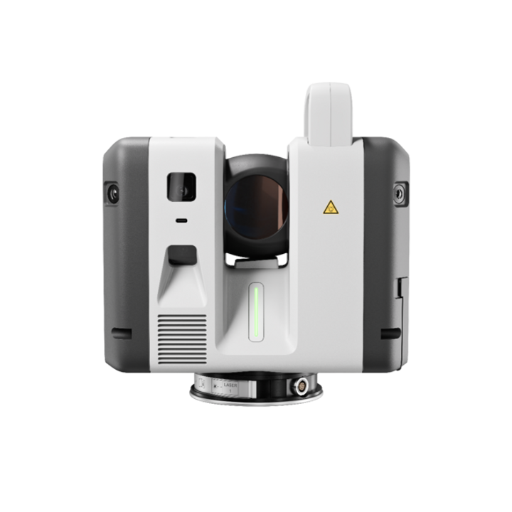
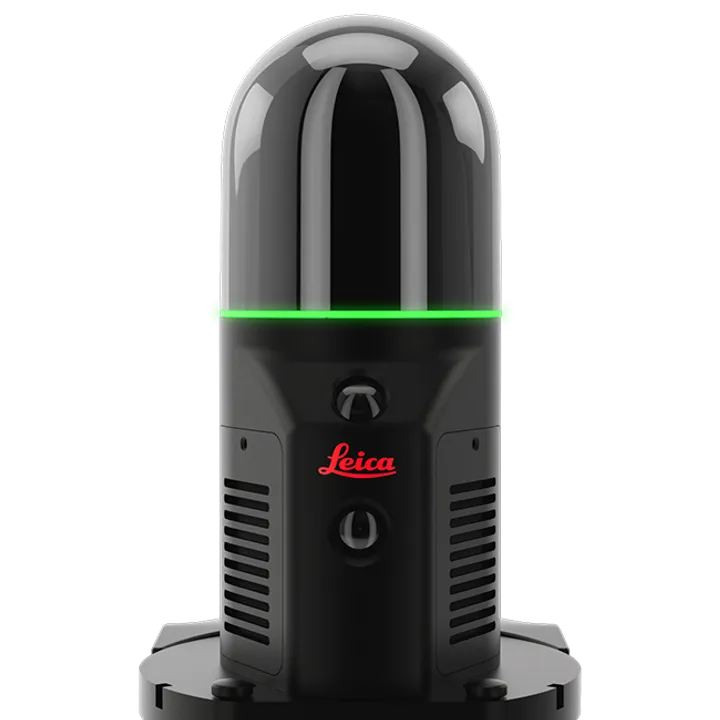
The RTC360 combines high-performance laser scanning, edge computing, and mobile app technologies to pre-register captured scans quickly and accurately. With the push of a button, two million points per second of High Dynamic Range (HDR) imagery can be captured to create a full-dome scan in under two minutes. Laser scanner movements between setup positions are automatically tracked by a Visual Inertial System (VIS) while scans are combined and pre-registered on a mobile device, where they can be viewed and augmented with information tags – saving precious time and speeding up decision-making right from the field.
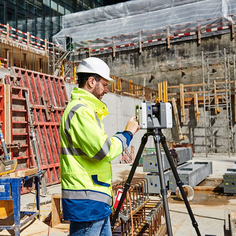
The Leica RTC360 3D reality capture solution empowers users to document and capture their environments in 3D, improving efficiency and productivity in the field and in the office through fast, simple-to-use, accurate, and portable hardware and software. The RTC360 3D laser scanner is the solution for professionals to manage project complexities with accurate and reliable 3D representations and discover the possibilities of any site.
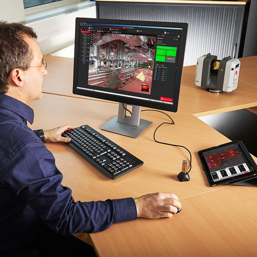
- Highly portable, highly automated, intuitive and designed for maximum productivity, the RTC360 solution efficiently combines the RTC360 a high-performance 3D laser scanner, Leica Cyclone FIELD 360 mobilde-device app for edge computing for automatically registering scans in real time, and Leica Cyclone REGISTER 360 office software to integrate your 3D model seamlessly into your workflow.
- Capture scans, including enriching High-Dynamic Range (HDR) imagery, in less than two minutes.
- Automatically record your moves from station to station to pre-register your scans in the field without manual intervention.
- Augment your data capture with information tags illustrating the opportunities for better planning, reflect site reality, and boost your teams’ situational awareness.
What is 3D Reality Capture?
3D Reality Capture is a process of scanning and capturing any site, for example plants, buildings or crime scenes, in a 3D digital model, combining measurements and imagery. The resulting model can be used for design and comparison purposes, to ensure site safety in inhospitable environments or as evidence in a criminal case, capturing every detail with to-the-millimetre accuracy.
As technology has become smaller, more affordable and more automated, 3D Reality Capture has become increasingly accessible to a wider range of applications, putting control in the hands of those that may have required specialists in the past.
The latest solutions combine one-touch operation with portability and speed to deliver high levels of accuracy, automation and the ability to create 3D environments in a matter of minutes.
Automated processes
The latest software automates many of the more complex functions of scan capture and manipulation. Automatic registration of scans, detailed certification software and simple one-touch operation puts this technology in the hands of novice users who can be trained in minutes.
Increased efficiency and productivity
3D Reality Capture significantly reduces labour costs associated with surveying, design and documentation. It empowers novice users to improve productivity and workflows, reducing time on site and enhancing design, construction and maintenance processes.
Changing the Face of Documentation in the Built Environment
The introduction of sophisticated 3D modelling and BIM has opened the eyes of designers and constructors alike to the opportunities that technology can offer, improving productivity, increasing accuracy and reducing costs. The move from 2D to 3D has helped the industry to become more profitable, productive and better organised.
3D Reality Capture delivers understanding
3D Reality Capture is the latest technology improving understanding and documentation of the built environment. Using ultra-accurate laser scanning combined with high-definition imagery, whole environments are captured quickly and in detail to create a digital 3D environment that can be explored, measured and annotated, for a fuller understanding of the building.
Enhanced productivity and workflow with automated software tools
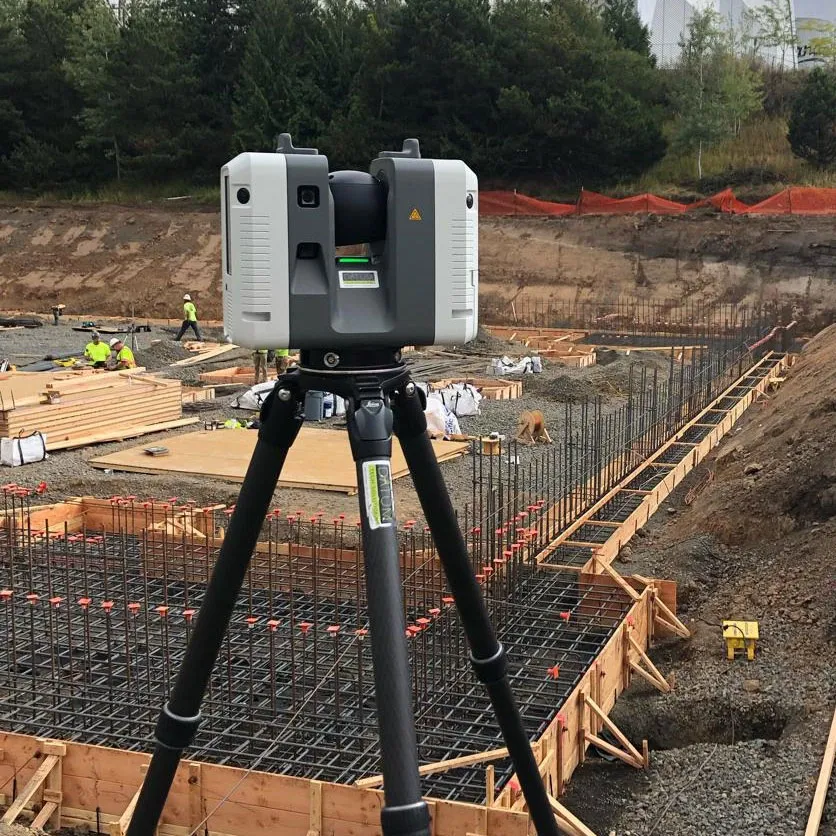
Smaller, more powerful and faster laser scanners and software can now be used by novice users to capture and record projects. For example, Building Information Modelling (BIM) managers can quickly capture construction stages at the touch of a button, allowing comparison to design-intent for quality assurance. Mechanical & Electrician consultants, too, can record the positioning of pipework and electrical systems prior to being clad for future maintenance and adaption.
Enhancing Public Safety through 3D Reality Capture
Public safety takes many forms, from crowd control and security at public events to analysing crash and crime scenes. Having full visibility of evidence, threat points and environments is essential to keeping the public safe and ensuring justice for victims. 3D Reality Capture is a process of scanning and capturing a crime scene, crash, environment or public event in a digital 3D model, combining measurement and imagery to provide a detailed, accurate and complete electronic copy of the space. With the ability to analyse, fly-though, zoom-in, measure and annotate imagery, 3D Reality Capture offers an accessible technology that anyone can use.
Crash scene analysis
Clearing a crash scene, opening roads and minimising disruption is always a pressure on investigators. With laser scanners that capture all the detail in a matter of minutes, scenes can be documented in minute detail and quickly cleared. One-touch operation and automated software enables novice users to operate equipment with minimal training, while edge computing allows for scan results to be checked in minutes, ensuring crucial evidence is captured in high definition.
Evidence gathering
3D Reality Capture records every detail of a crime scene, verified and certified by automated software tools to enable its use in court. Evidence can be analysed in detail, homing in on key areas, overlaying trajectories, or providing jurors with fly-throughs so they can truly understand the scene. Crime scene degradation has always been a problem for prosecutors; jurors visiting crime scenes rarely get a true impression, but with 3D Reality Capture the scene is captured as it was, in every detail and documented ready for trial.
Improving Industrial Health and Safety with 3D Reality Capture
Many industrial settings present inhospitable environments where the health and safety of employees and site visitors is paramount. Hazards including temperature, corrosive materials, moving machinery and heavy objects are abundant, and it is the responsibility of site management to ensure not only all those on site are safe but also those in the immediate surroundings.
The challenge is that these sites can be large and complex, with networks of pipes, tunnels, storage vessels and other structures that have been extended and adapted over time to meet production. This presents plant managers with a problem: how can you keep track of a structure and ensure the safety of those moving through it? The answer is 3D Reality Capture..
Efficient management
Having a complete 3D model of your site can improve operational efficiency through optimisation of production routes, management of maintenance regimes and positioning of personnel. Knowing what is where without accessing the site means more time spent managing and organising efficient production and less time spent navigating the site.
Improved safety
Using the model, a 3D map of the site can be created highlighting danger zones, safe areas and escape routes, which can be used to train both employees and visitors to the site. Offering an immersive experience means safety officers can clearly highlight risks and procedures visually to staff and visitors before they enter risk areas, improving safety for all. An example is the use of tablets to guide maintenance contractors around a site, taking them through safe areas, highlighting high-risk areas and identifying the exact part of the site that requires maintenance, down to an individual pipe or valve.