

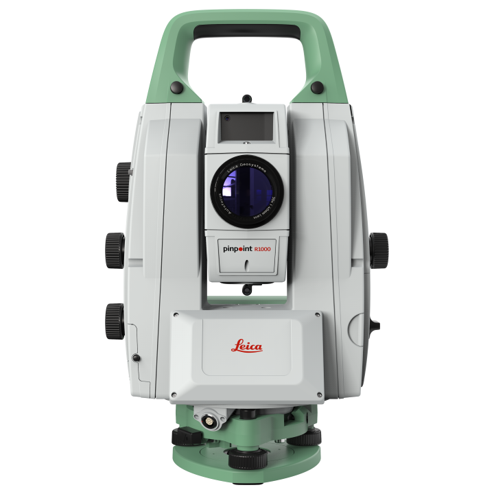
Leica TS20 Robotic Total Station
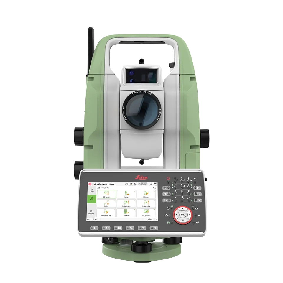
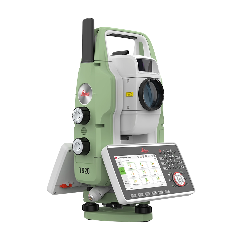
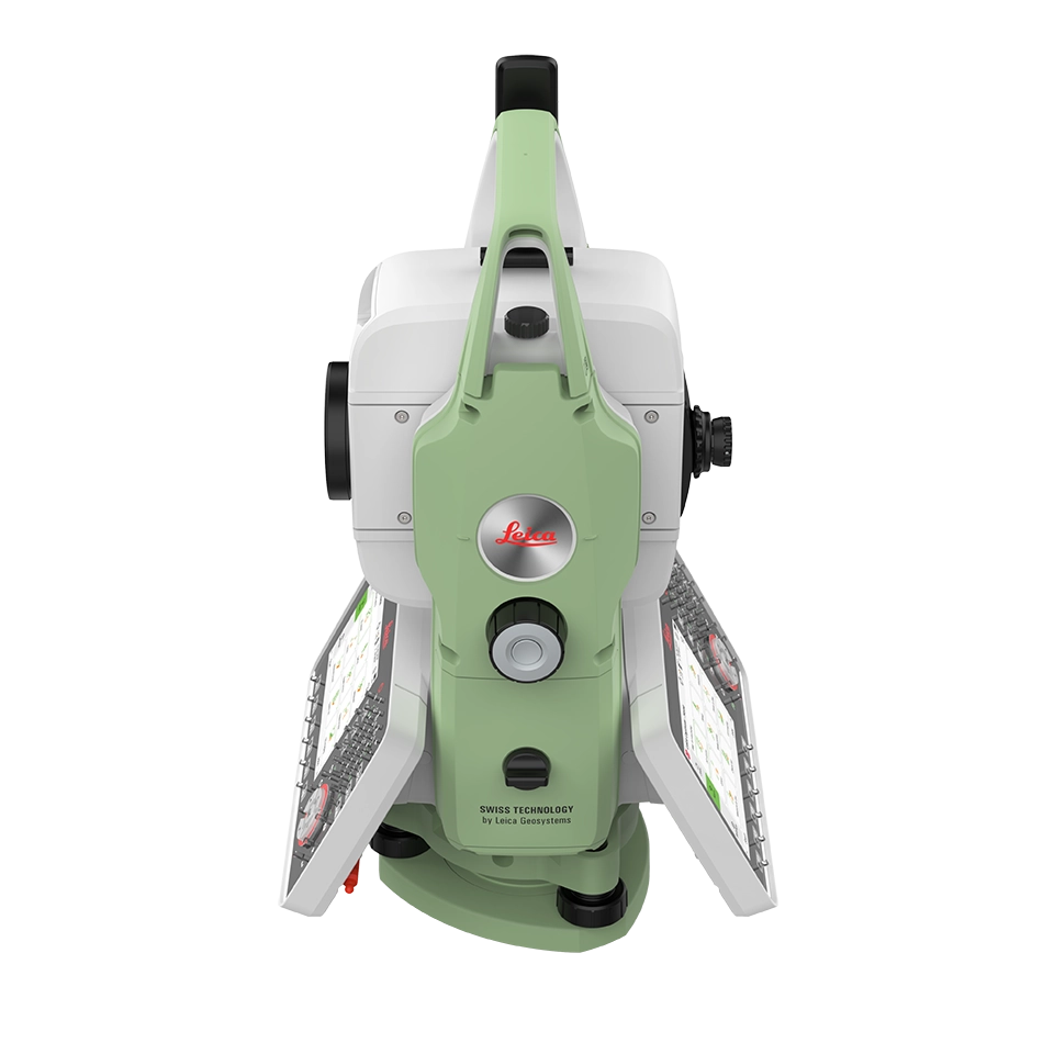
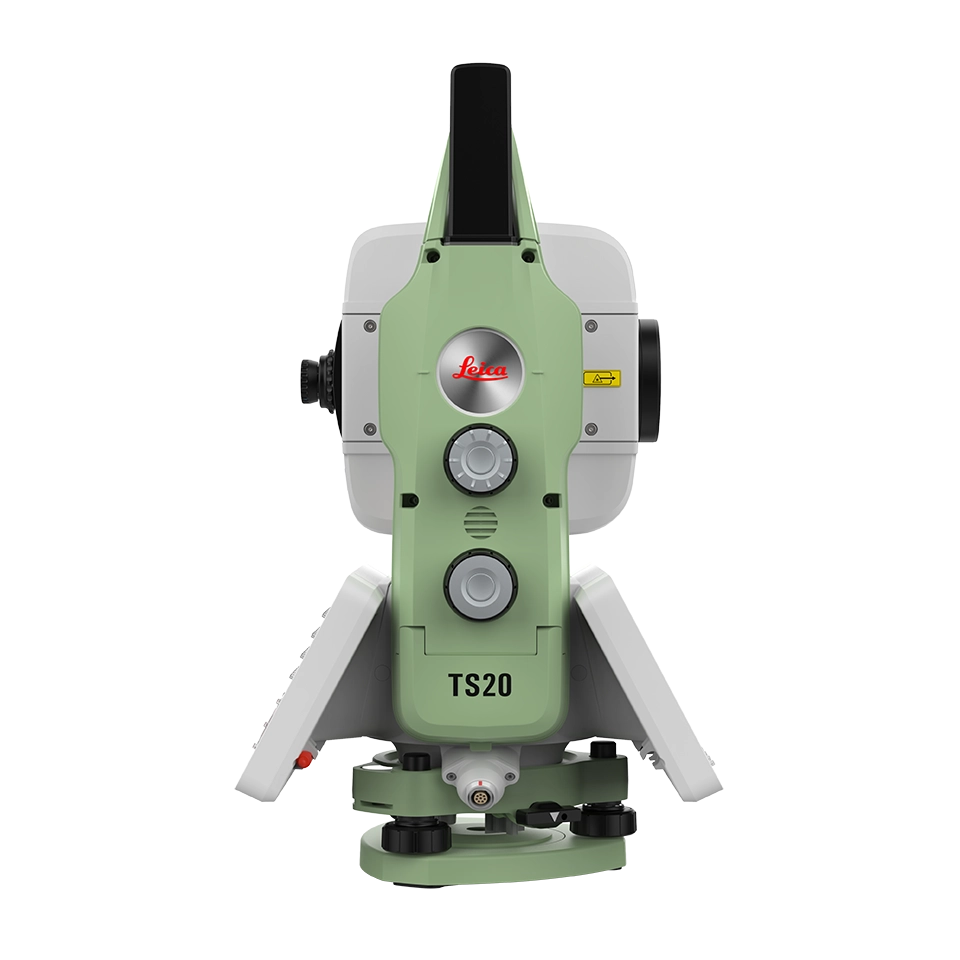
Be ready for excellence with the total station defining the standard for productivity and the future of robotic surveying. The Leica TS20 is the robotic total station productivity powerhouse for everyday surveying, from cadastral to construction. Packed with advanced automation, IP66 protection, integrated connectivity, cloud services, fast and maintenance-free motors, and much more, the TS20 ensures efficiency and reliability in even the most challenging environments.
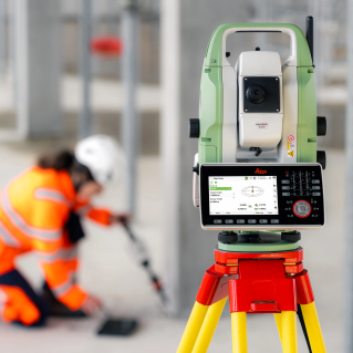
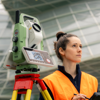
Whether you're setting up a control network, measuring points or staking out designs, the TS20 delivers a next-level total station experience empowering surveyors to work faster with fewer mistakes and total confidence.
Advanced automation
Total station, meet NPU. Thanks to super in-field processing power, the TS20 automatically detects prism types and boosts efficient measuring with AI-powered search and target aiming, even to tapes.
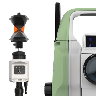

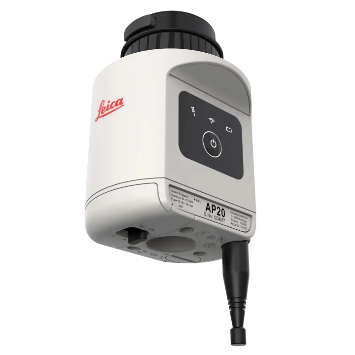
Leica AP20 optimised
The pair for productivity. The only of it’s kind TS20-AP20 combo is the smart prism pole solution for strongest lock, worry-free height changes, and flexible, tilted measuring. It’s where speed and accuracy meet for total efficiency.
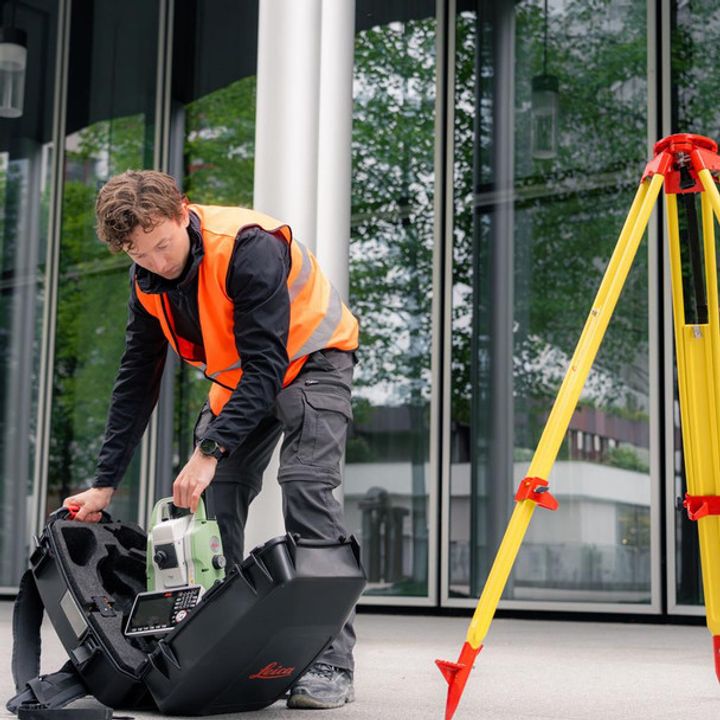
All-weather ready
No more rain checks. With IP66 for high dust and water protection and AI-powered target aiming trained on the toughest conditions, measure through any weather.
Surveying services
Stay synced. With GeoCloud Drive's cloud-based data exchange, everything can be in the cloud. And with GeoCloud protect, easy traking and remote locking mean you always know where your TS20 is, and only your team can use it.
Connected
Success comes down to connection. Versitile connectivity includes integrated mobile data, WLAN, Ethernet, and long-range bluetooth ensuring remote access and streamlined, secure data management.

Excellence you expect
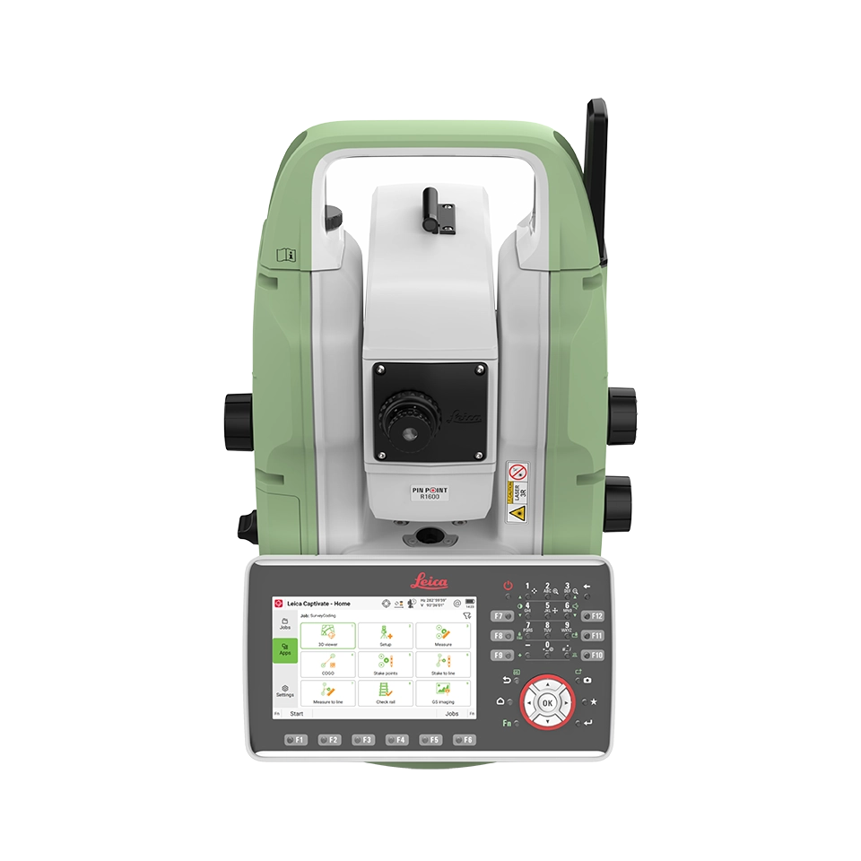
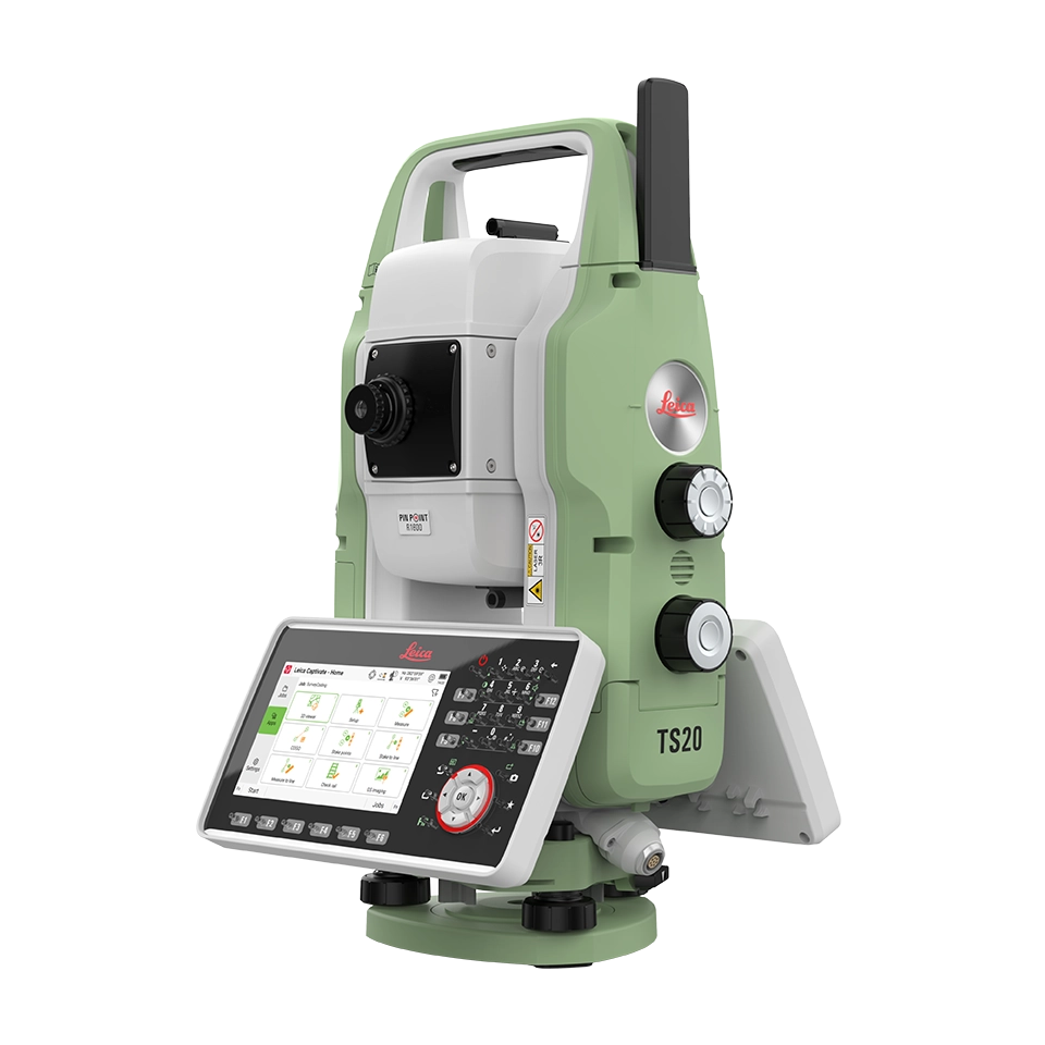
Make the extraordinary your ordinary. Speedy motors, fast and accurate PinPoint EDM, AutoHeight, and more. The TS20 includes and improves on the excellence you've come to expect in a Leica robotic total station.
| ANGLE MEASUREMENT | ||||||||
| Accuracy Hz and V | Absolute, continuous, diametrical |
1’’ (0.3 mgon), |
||||||
| DISTANCE MEASUREMENT | ||||||||
| Range | Prism (GPR1, GPH1P) Non-Prism / any surface |
0.8 m to >10’000 m R800: 0.8 m to >800 m; LC2 R1600: 0.8 m to >1600 m; LC3R |
||||||
| Accuracy / Measurement time | Single (prism) Single (any surface) |
1 mm + 1.0 ppm / typically 1.5 s 2 mm + 2.0 ppm / typically 2 s 6 |
||||||
| Laser dot size | At 50 m | 12 mm x 18 mm | ||||||
| Measurement technology | Wave Form Digitizer | Coaxial, visible red laser (658 nm) | ||||||
| AUTOMATIC AIMING - ATR | ||||||||
| Target aiming range / Target locking range | Circular prism (GPR1, GH1P) 360° prism (GRZ4, GRZ122) Reflective tape (GZM37) |
2000 m / 1000 m 1000 m / 1000 m 50 m / - |
||||||
| Accuracy / Measurement time | ATR angle accuracy Hz, V | 1’’ (0.3 mgon), 2’’ (0.6 mgon), 3’’ (1 mgon), 5’’ (1.5 mgon) / typically 3-4 s |
||||||
| POWERSEARCH | ||||||||
| Range / Search time | 360° prism (GRZ4, GRZ122) Reflective tape (GZM37) |
300 m / typically 4 s 50 m / typically 4 s |
||||||
| MOTORISATION | ||||||||
| Direct drives, BLDC technology | Rotation speed Time to change face | Maximum 200 gon (180°) / s Typically 1.9 s |
||||||
| AUTOHEIGHT | ||||||||
| Distance accuracy 1.0 mm (1 sigma) | Distance range 0.7 m to 2.7 m | |||||||
| IMAGING | ||||||||
| Overview camera | Sensor Angle of view Frame rate |
20 MP CMOS 21.8° x 16.4° (27° diagonal) ≤ 20 frames per second |
||||||
| GUIDE LIGHT (EGL) | ||||||||
| Working range / Accuracy | 5-150 m / typically 5 cm @ 100 m | |||||||
| MOBILE CONNECTIVITY (GMI01) | ||||||||
| Sensor and data services | Network: integrated 4G LTE with eSIM support | Battery life duration: up to 5 days | ||||||
| Hexagon GeoCloud Protect | Theft protection service | Outdoor & indoor positioning (GNSS, WLAN, Cellular), up to 1 min position update rate | ||||||
| GENERAL | ||||||||
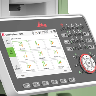
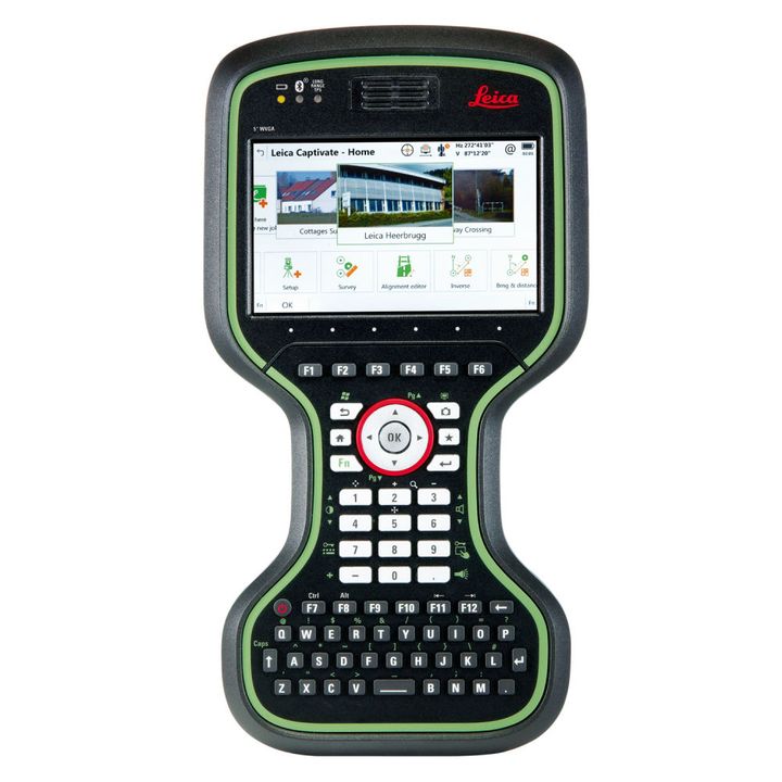
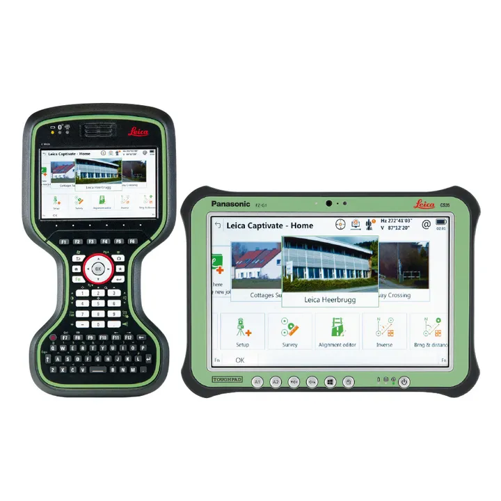
| Field software | Leica Captivate with apps | |||||||
| Display and keyboard | 5“ WVGA colour display with multi-touch | 37 keys, illumination | ||||||
| Processor | NXP I.MX 8M Plus, integrated Neural Processing Unit (NPU) | Operating system: Linux | ||||||
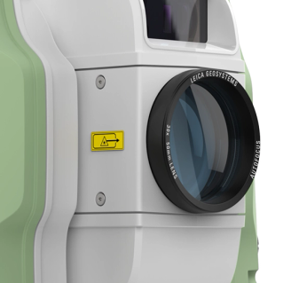
| Autofocus telescope | Magnification 30x | Focus range 1.45 m to infinity | ||||||
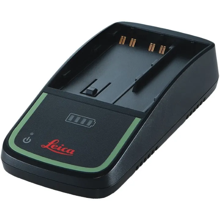
| Power management | Exchangeable Lithium-Ion battery | Operating time 4-5 h | ||||||
| Data storage | Internal memory / Removable memory | 32 GB / USB-C stick 16 GB | ||||||
| Interfaces | Ethernet, USB-C®, Bluetooth®, WLAN | |||||||
| Weight | Total station Total station with tribrach and battery |
4.94 kg 6.03 kg |
||||||
| Environmental specifications | Working temperature range Dust / Water (IEC 60529) Humidity (MIL-STD-810H Method 507.6.) |
-20 °C (-35 °C Arctic version) to +50 °C IP66 100%, non-condensing |
||||||
| Datasheets | |
|---|---|
| Leica TS20 Robotic Total Station - Datasheet |

Leica Geosystems has developed an online learning platform for a wide range of products, to further educate customers to maximise the functionality of their instruments.
Our products have many excellent features which all contribute to increasing efficiency on site and the online learning platform assists you to gain the most value from your products.
The online learning courses are available to anyone who has a Leica Geosystems myWorld account, and an active Customer Care Package (CCP) for supported products.
![]()


Brand: Leica Geosystems |
Code: LG1011725
APN: 9319499333386 |
Supplier Code: 1011725

Brand: Leica Geosystems |
Code: LG1011725
APN: 9319499333386 |
Supplier Code: 1011725
At a glance
Be ready for excellence with the total station defining the standard for productivity and the future of robotic surveying. The Leica TS20 is the robotic total station productivity powerhouse for everyday surveying, from cadastral to construction. Packed with advanced automation, IP66 protection, integrated connectivity, cloud services, fast and maintenance-free motors, and much more, the TS20 ensures efficiency and reliability in even the most challenging environments.
Whether you're setting up a control network, measuring points or staking out designs, the TS20 delivers a next-level total station experience empowering surveyors to work faster with fewer mistakes and total confidence.
Advanced automationTotal station, meet NPU. Thanks to super in-field processing power, the TS20 automatically detects prism types and boosts efficient measuring with AI-powered search and target aiming, even to tapes. |
|
|
|
Leica AP20 optimisedThe pair for productivity. The only of it’s kind TS20-AP20 combo is the smart prism pole solution for strongest lock, worry-free height changes, and flexible, tilted measuring. It’s where speed and accuracy meet for total efficiency. |
All-weather readyNo more rain checks. With IP66 for high dust and water protection and AI-powered target aiming trained on the toughest conditions, measure through any weather. |
|
|
|
Surveying servicesStay synced. With GeoCloud Drive's cloud-based data exchange, everything can be in the cloud. And with GeoCloud protect, easy traking and remote locking mean you always know where your TS20 is, and only your team can use it. |
ConnectedSuccess comes down to connection. Versitile connectivity includes integrated mobile data, WLAN, Ethernet, and long-range bluetooth ensuring remote access and streamlined, secure data management. |
|
|
|
Excellence you expectMake the extraordinary your ordinary. Speedy motors, fast and accurate PinPoint EDM, AutoHeight, and more. The TS20 includes and improves on the excellence you've come to expect in a Leica robotic total station. |
Why is the TS20 the best for everyday surveying?
The standard for productivity
- Measure points faster and with fewer mistakes across conditions
The TS20 is the standard for productivity, delivering excellent performance in the two areas that impact productivity most - how fast you work, and how many mistakes you make.
You need to measure and layout many points per day, while ensuring that data has as few mistakes as possible to really save time and money.
We've taken care of speed with features like Al-powered target search, target recognition, and locking, supported by fast motors and advanced EDM, to make your work faster whether you measure to prisms or tapes. And with IP66-rating, the elements won't stop you either.
To reduce mistakes, Al-detect enables prism type identification, ensuring you record measurements with the right prism type every time. And Al- follow, available in 2026, allows the TS20 to follow the AP20 prism even if line of sight is interrupted.
Altogether, this means more points measured and fewer mistakes. Reducing rework and corrections establishes the TS20 as the ultimate benchmark for efficiency on any project, from cadastral work to construction tasks like railways, tunnel, bridges, buildings, or highways.
The future of robotic surveying
- Excel today and be ready for tomorrow
The TS20 offers the power and efficiency to help you excel today and take on bigger projects tomorrow. Faster motors, long-range EDM, advanced optics, mobile and Ethernet connectivity - the list goes on. It all adds up to the future of robotic where productivity is unprecedented and quality is a given.
Built from the ground up with innovative technology, the TS20 still maintains the familiar user experience you trust. The speedy processor makes Captivate fast to work with, and a multi-touch screen with zooming and panning makes on-board operation intuitive. And with integrated connectivity, you can easily adopt cloud-based data and sensor services now or when you're ready.
Additionally, as the only robotic total station with a neural processing unit (NPU), the TS20's Al automation will continue to evolve with software updates, adapting to challenging environments and weather conditions for reliable target detection and locking.
The TS20's combination of proven quality and accuracy with cutting-edge advancements means your investment returns both immediate success and long-term growth.
Leica Geosystems has developed an online learning platform for a wide range of products, to further educate customers to maximise the functionality of their instruments.
Our products have many excellent features which all contribute to increasing efficiency on site and the online learning platform assists you to gain the most value from your products.
The online learning courses are available to anyone who has a Leica Geosystems myWorld account, and an active Customer Care Package (CCP) for supported products.
![]()
