


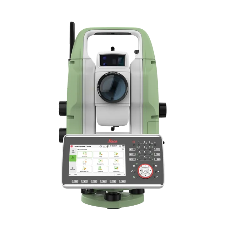
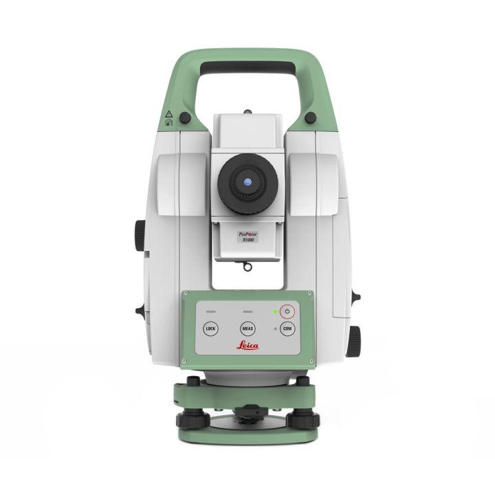
Leica Nova MS60 MultiStation
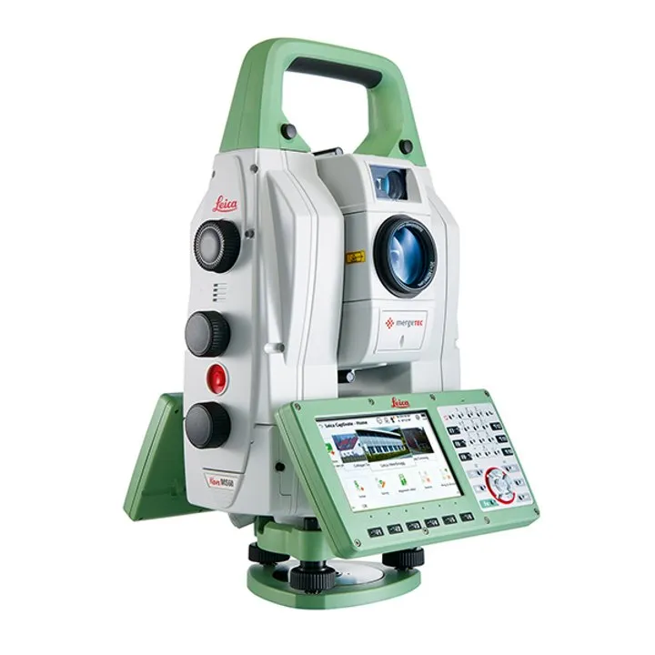
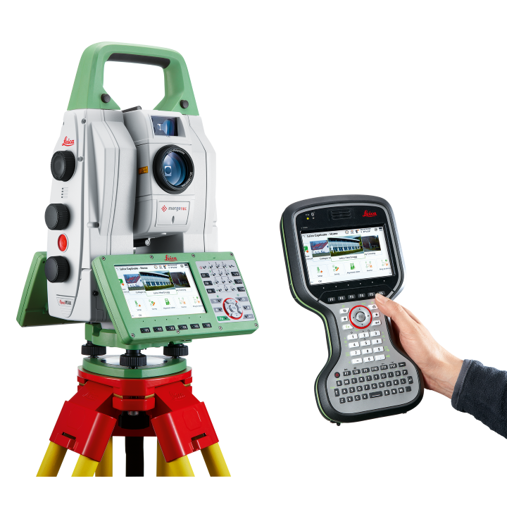
Leica Nova MS60 continues the success story of Leica Geosystems world’s first MultiStation, enabling you to perform all required surveying tasks with one instrument. Enjoy the top-notch robotic imaging total station functionalities, get into laser scanning easily and scan with a speed of up to 30.000 points per second. Benefit from digital imaging and GNSS connectivity. Save time and money by investing in an instrument that can help you perform all tasks and stay away from point-by-point measurements.
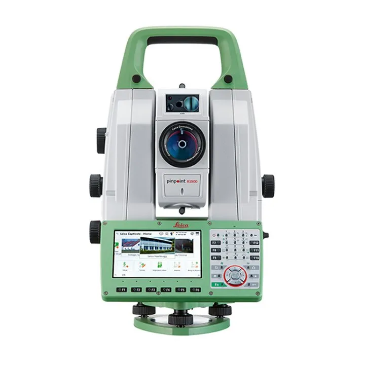
Highest-end total station
Highly accurate angle and distance measurements, long-lasting design and easy-to-use apps are key elements of modern total stations, fully embodied in the MS60. With improved automation functionalities using ATRplus, the MultiStation increases your efficiency, even under challenging environmental conditions.


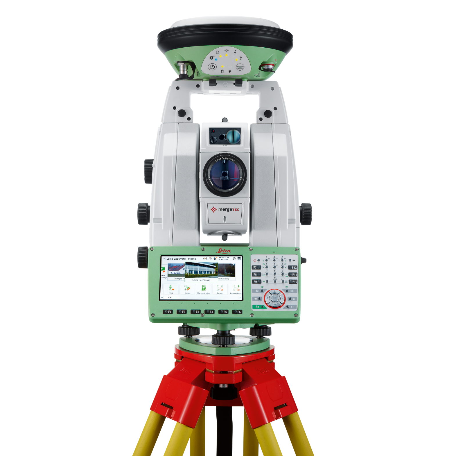
GNSS connectivity
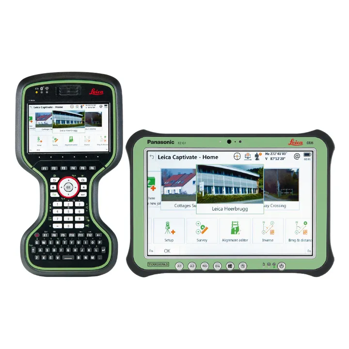
GNSS is fully integrated in the workflow and the data structure, enabling direct georeferencing. SmartStation and SmartPole setups increase your flexibility in the field.
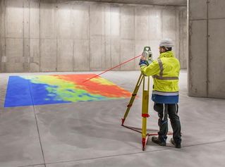
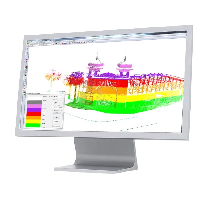
3D laser scanning
Scan with up to 30.000 points per second (Hz): complete your scans fast and get dense scanning grids. The MS60 features optimised scanning paths, now including zenith scans, allowing you to significantly reduce the total scanning time.

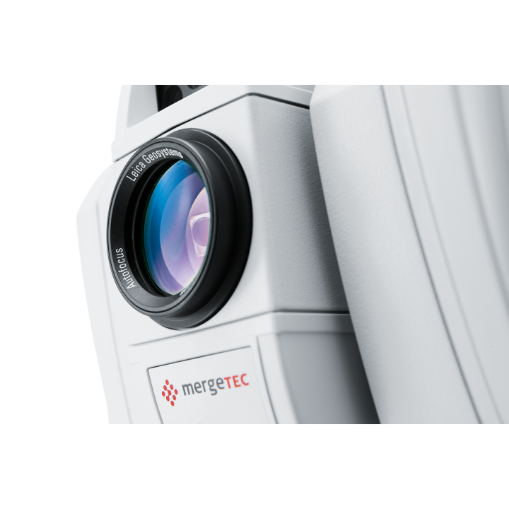
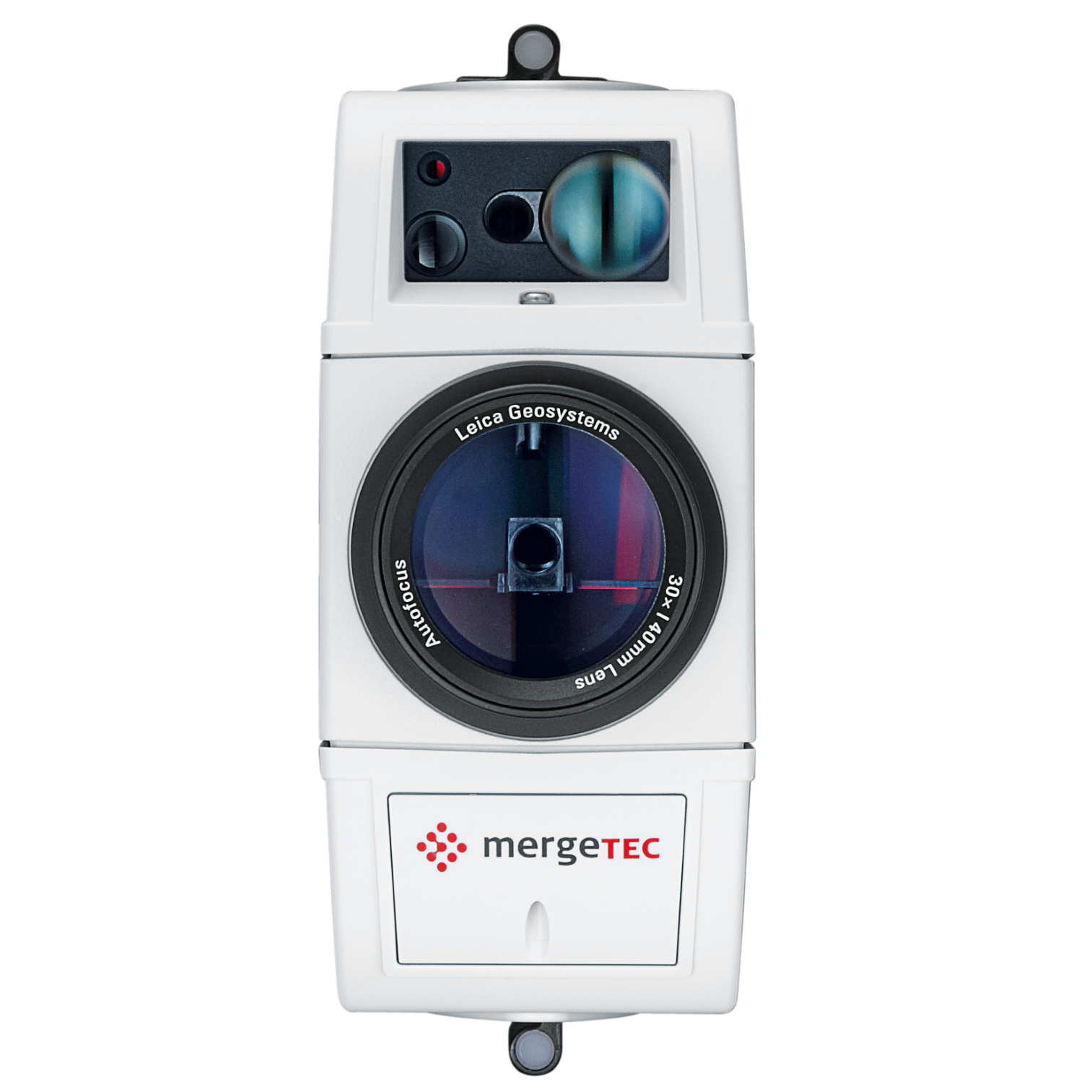
Digital Imaging
Enhanced digital imaging technology, including an overview and a 30x magnifying telescope camera, enables accurate image assisted surveying both at the instrument and remotely - while also including extended image documentation.
| Comparison Charts | |
|---|---|
| Leica Nova MS60 MultiStation - Comparison Chart | Datasheets |
| Leica Nova MS60 MultiStation - Datasheet | Product Manuals |
| Leica Nova MS60 MultiStation - Product Manual |


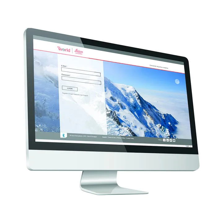
Leica Geosystems has developed an online learning platform for a wide range of products, to further educate customers to maximise the functionality of their instruments.
Our products have many excellent features which all contribute to increasing efficiency on site and the online learning platform assists you to gain the most value from your products.
The online learning courses are available to anyone who has a Leica Geosystems myWorld account, and an active Customer Care Package (CCP) for supported products.


Brand: Leica Geosystems |
Code: LG898871
APN: 9319499329983 |
Supplier Code: 898871

Brand: Leica Geosystems |
Code: LG898871
APN: 9319499329983 |
Supplier Code: 898871
At a glance
Leica Nova MS60 continues the success story of Leica Geosystems world’s first MultiStation, enabling you to perform all required surveying tasks with one instrument. Enjoy the top-notch robotic imaging total station functionalities, get into laser scanning easily and scan with a speed of up to 30.000 points per second. Benefit from digital imaging and GNSS connectivity. Save time and money by investing in an instrument that can help you perform all tasks and stay away from point-by-point measurements.
Highest-end total stationHighly accurate angle and distance measurements, long-lasting design and easy-to-use apps are key elements of modern total stations, fully embodied in the MS60. With improved automation functionalities using ATRplus, the MultiStation increases your efficiency, even under challenging environmental conditions. |
|
|
|
GNSS connectivityGNSS is fully integrated in the workflow and the data structure, enabling direct georeferencing. SmartStation and SmartPole setups increase your flexibility in the field. |
3D laser scanningScan with up to 30.000 points per second (Hz): complete your scans fast and get dense scanning grids. The MS60 features optimised scanning paths, now including zenith scans, allowing you to significantly reduce the total scanning time. |
|
|
|
Digital ImagingEnhanced digital imaging technology, including an overview and a 30x magnifying telescope camera, enables accurate image assisted surveying both at the instrument and remotely - while also including extended image documentation. |
Leica Geosystems has developed an online learning platform for a wide range of products, to further educate customers to maximise the functionality of their instruments.
Our products have many excellent features which all contribute to increasing efficiency on site and the online learning platform assists you to gain the most value from your products.
The online learning courses are available to anyone who has a Leica Geosystems myWorld account, and an active Customer Care Package (CCP) for supported products.
