


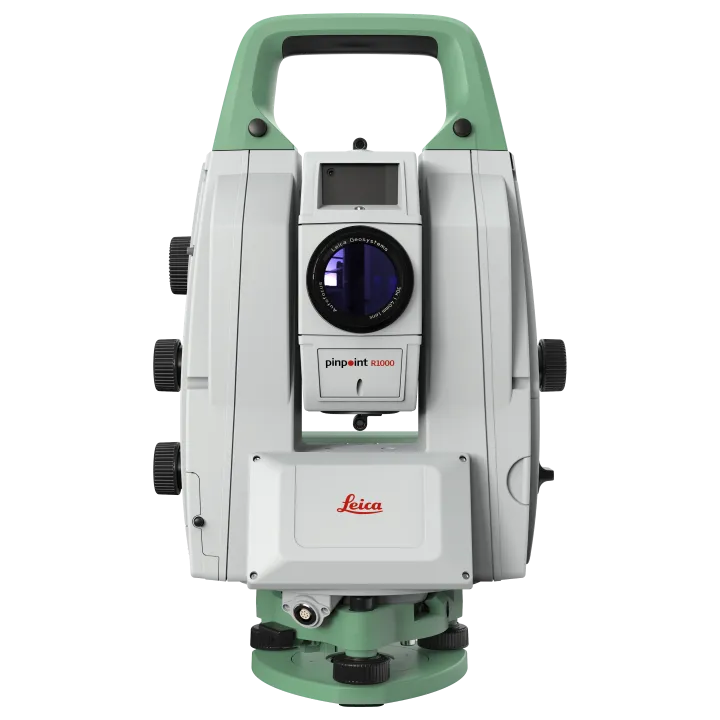
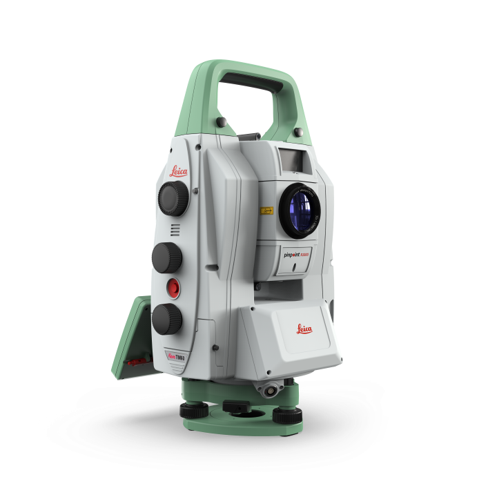
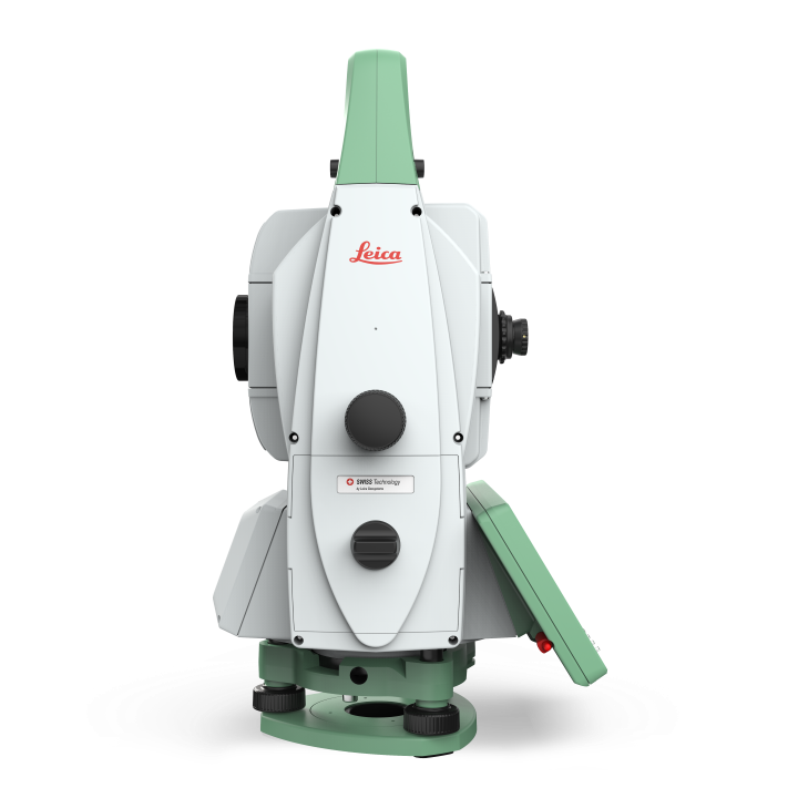
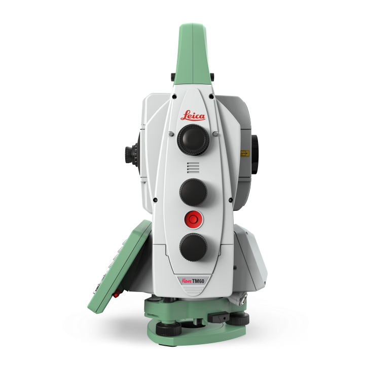
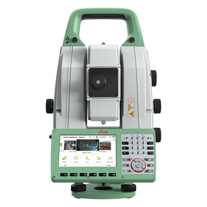
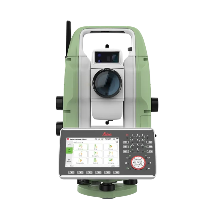
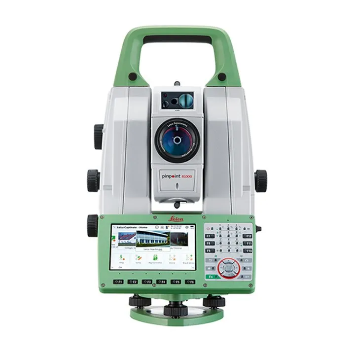
Leica Nova TM60 Monitoring Total Station
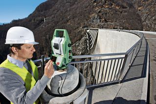
Engineering companies and contractors face increased challenges monitoring this change.
Robust, precise and enduring
EVERY HALF SECOND COUNTSRobust, precise and enduring the Leica TM60 comes with the world’s longest ATRplus range, half-second automatic aiming accuracy, advanced imaging and the longest continuous operation. When combined with Leica GeoMoS monitoring software, you will be able to react with confidence to the complex demands of any project. The decision is easy: maximum safety, minimum risk, because every half second counts!
|
|
ANGLE MEASUREMENT
| Accuracy1 Hz and V | Absolute, continuous, quadruple: 0.5” (0.15 mgon) or 1” (0.3 mgon) |
DISTANCE MEASUREMENT
| Range2 |
|
| Accuracy / Measurement time |
|
| Laser dot size | At 50m: 8mm x 20mm |
| Measurement technology | System analyser: Coaxial, visible red laser |
IMAGING (Overview and Telescope Camera)
| Sensor | 5 megapixel CMOS sensor |
| Field of view (overview / telescope) | 19.4° / 1.5° |
| Frame rate | Up to 20 frames per second |
MOTORISATION
| Direct drives based on Piezo technology | Rotation speed / Time to change face: Maximum 200 gon (180°) per s / typically 2.9 s |
AUTOMATIC AIMING - LONG RANGE ATRplus
| Target aiming range 2 |
|
| Accuracy 1,2 / Measurement time | ATRplus angle accuracy Hz, V: 0.5” (0.15 mgon) or 1” (0.3 mgon) / typically 3-4 s |
GENERAL
| Operating System / Field Software | Windows EC7 / Leica Captivate with apps |
| Processor | TI OMAP4430 1GHz Dual-core ARM® Cortex™- A9 MPCore™ |
| Autofocus8 telescope | Magnification / Focus Range: 30 x / 1.7m to infinity |
| Display and keyboard | 5‘‘ (inch), WVGA, colour, touch, Face 1 standard, Face 2 optional | 37 keys, illumination |
| Operation | 3x endless drives, 1x Servofocus drive, 2x Autofocus keys 8, user-definable SmartKey |
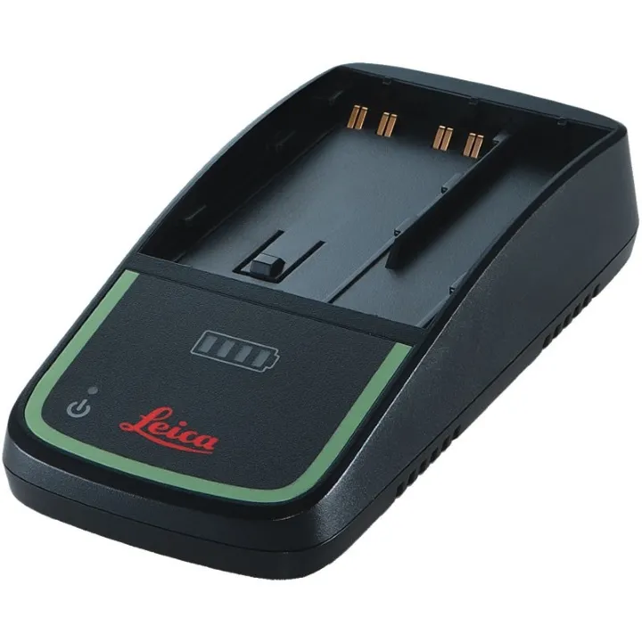
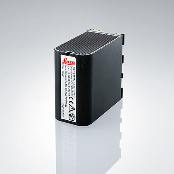
| Power management | Exchangeable Lithium-Ion battery with internal charging capability Operating Time up to 9 h |
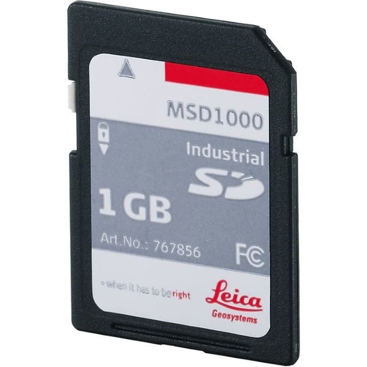
| Data storage | Internal memory: 2 GB Memory card: SD card 1 GB or 8 GB |
| Interfaces | RS232, USB, Bluetooth®, WLAN |
| Weight (Total station including battery) | 7.2 kg |
| Environmental specifications | Working temperature range: –20°C to +50°C Dust & Water (IEC 60529) / Blowing rain: IP65 / MIL-STD-810G, Method 506.5-I Humidity: 95%, non-condensing |
1. Standard deviation ISO 17123-3
2. Overcast, no haze, visibility about 40 km, no heat shimmer
3. 0.9 m to 2,000 m for 360° prisms (GRZ4, GRZ122)
4. Object in shade, sky overcast, Kodak Gray Card (90% reflective)
5. Standard deviation ISO 17123-4
6. Distance > 500 m: Accuracy 4 mm + 2 ppm, Measurement Time typ. 6 s
7. Available on TM60 I models
8. Autofocus for TM60 I models, Servofocus only for TM60 models
9. Up to 50 m, max. measurement time 15 s for full range
| Comparison Charts | |
|---|---|
| Leica Nova TM60 Monitoring Total Station - Comparison Chart | Brochures |
| Leica Nova TM60 Monitoring Total Station - Brochure | Datasheets |
| Leica Nova TM60 Monitoring Total Station - Datasheet |


Brand: Leica Geosystems |
Code: LG822427
APN: 822427 |
Supplier Code: 822427

Brand: Leica Geosystems |
Code: LG822427
APN: 822427 |
Supplier Code: 822427
At a glance
Engineering companies and contractors face increased challenges monitoring this change.
Robust, precise and enduring
EVERY HALF SECOND COUNTSRobust, precise and enduring the Leica TM60 comes with the world’s longest ATRplus range, half-second automatic aiming accuracy, advanced imaging and the longest continuous operation. When combined with Leica GeoMoS monitoring software, you will be able to react with confidence to the complex demands of any project. The decision is easy: maximum safety, minimum risk, because every half second counts!
|
|
