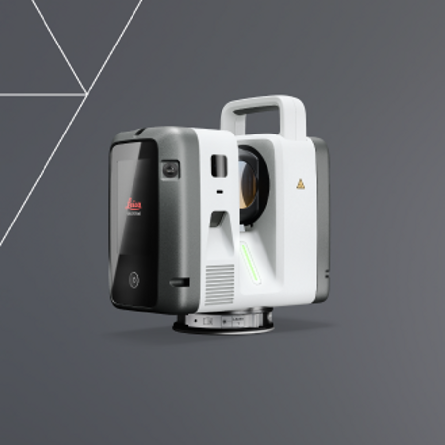
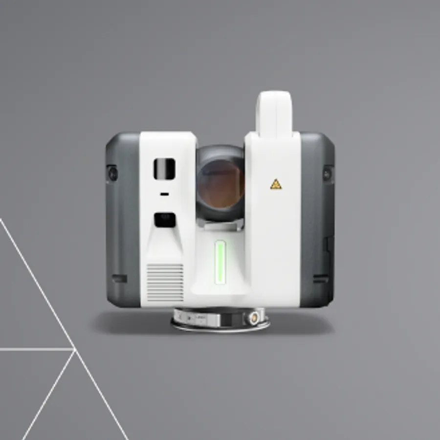
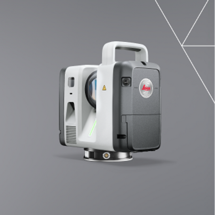
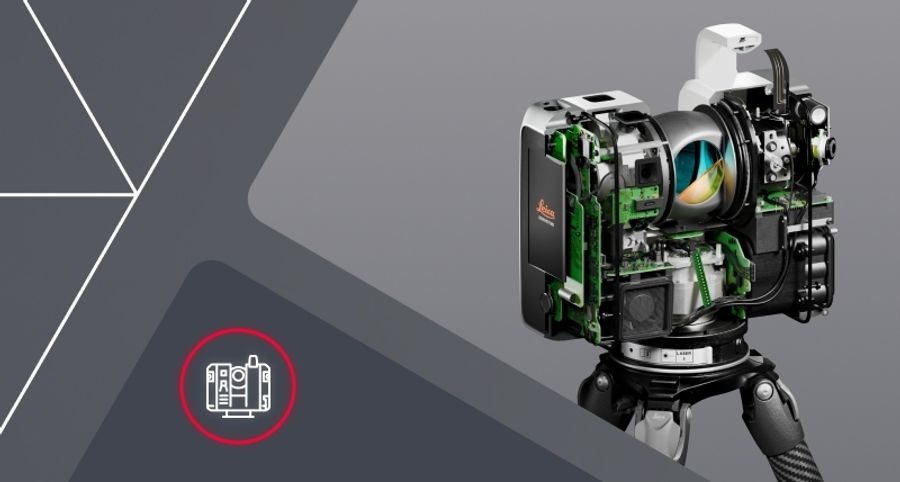
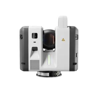
The Leica RTC series gives modern professionals a faster, more connected way to work.
Built on Leica Geosystems’ mastery of 3D laser scanning, the new RTC laser scanners bring together superior scanning performance, software, and cloud collaboration into a real-time workflow architecture, creating a new way of working. Capture high-density 3D data with confidence, share progress as it happens, and keep field, cloud and office users aligned in one continuous workflow.

C.R. Kennedy is your national partner for all positioning needs from surveying to machine control, building construction to reality capture and everything in-between. Wherever you are in Australia, C.R. Kennedy are with you, providing an unparalleled level of service and support from industry experts to get the job done safely and efficiently.
Shop Safely and Securely with
@ C.R.Kennedy Geospatial Solutions
Our Brands
© 2026 C.R. KENNEDY. All rights reserved.
ICON SITE EXCAVATOR
SPECIAL OFFER - LIMITED TIME
A simple machine control solution ideal for compact excavators — with a big payoff!