


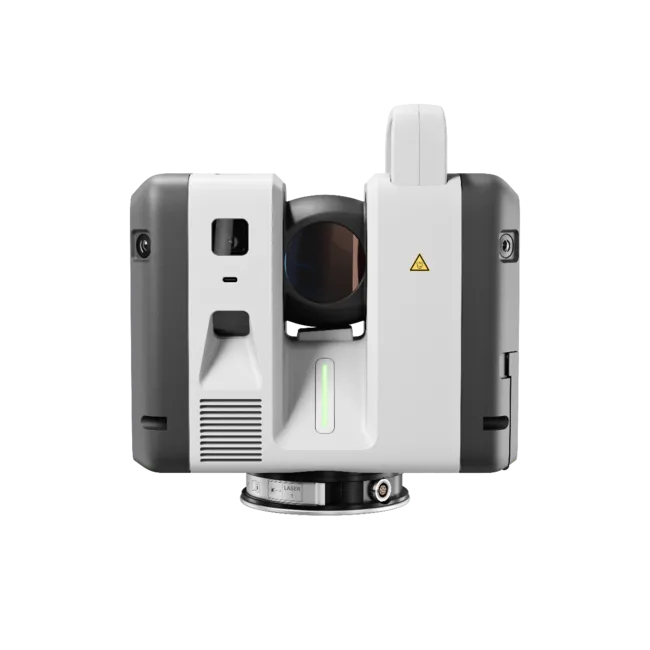
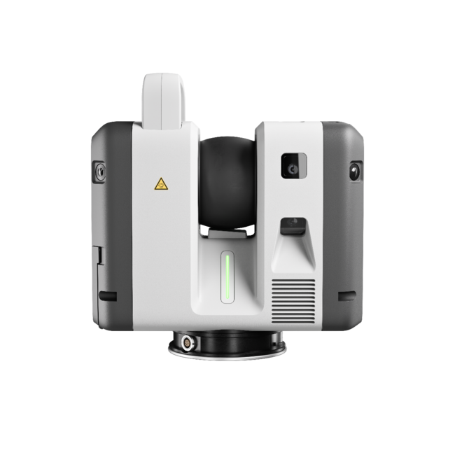
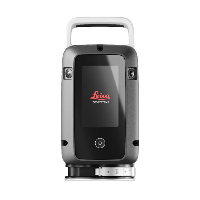
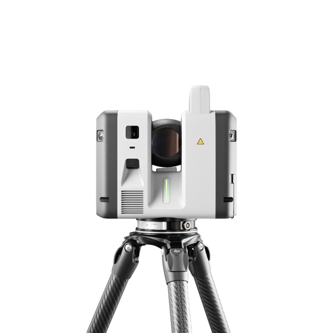
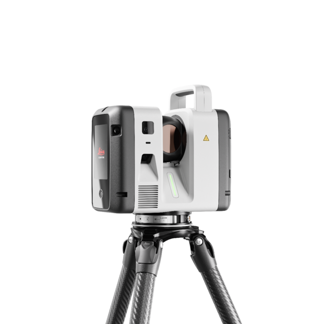
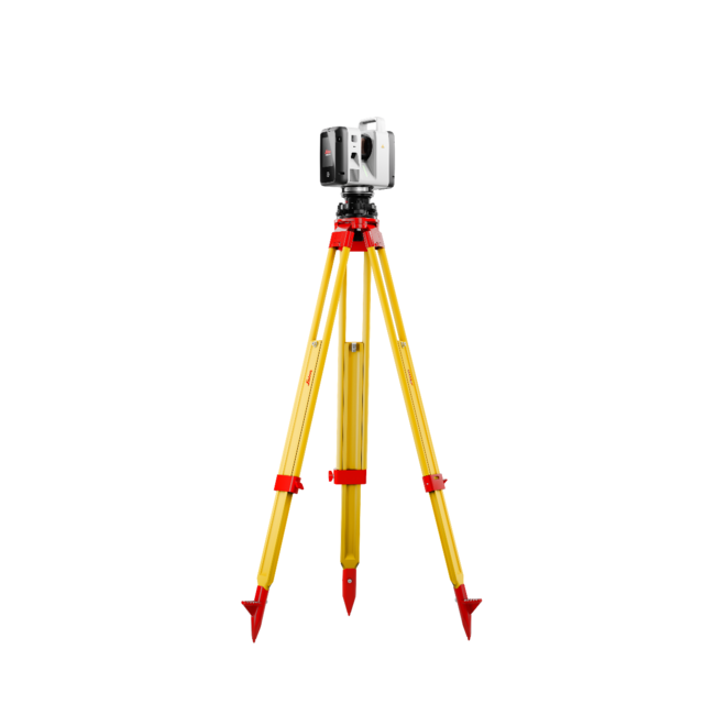
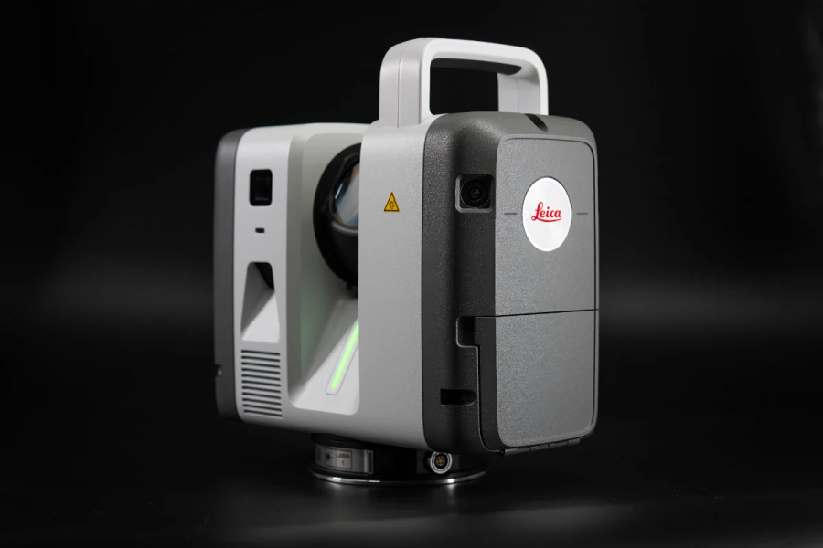
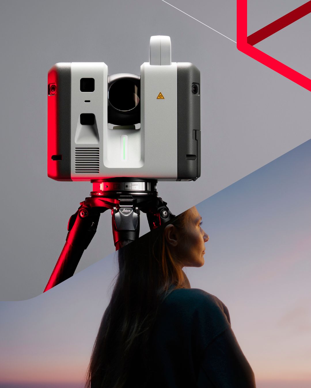
Leica RTC700 Laser Scanner
- Flagship model in the RTC Series, delivering the highest performance and productivity.
- Capture up to 2 million points per second with ultra-fast workflows.
- Extended range up to 270 metres for maximum flexibility across any environment.
- HDR imaging in as little as 30 seconds.
- VIS technology enables automated scan alignment and improved field productivity.
- Livelink connectivity supports real-time collaboration and project visibility.
- Automatic self-calibration ensures consistent accuracy and reliable performance on every project.
RTC700 Flagship Performance
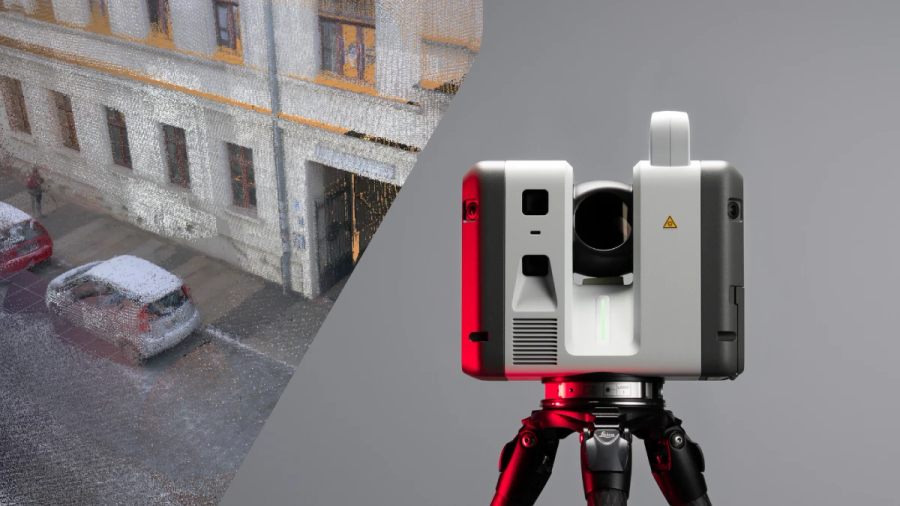
One trusted design, three levels of performance – with the Leica RTC700 delivering the highest level of capability within the RTC Series. Combining maximum range, exceptional accuracy, and ultra-fast data capture, it is designed for the most demanding reality capture workflows. Integrated with Leica Cyclone FIELD 360, Hexagon GeoCloud, and Cyclone REGISTER 360 PLUS, it enables a fully connected field-to-office workflow, empowering teams to Capture. Connect. Collaborate while reducing rework, minimising downtime, and delivering results with complete confidence.
Ultra-Fast Capture
Built for speed, the RTC700 captures up to 2 million points per second and HDR imaging in 30 seconds. High-speed data acquisition combined with rapid imaging performance allows users to capture detailed, colourised point clouds quickly and efficiently, significantly reducing time on site.
Next-Level Accuracy
The RTC700 delivers outstanding accuracy with angular accuracy of 10” and highly reliable point precision. The next-generation IMU-based tilt compensator provides accuracy down to 3”, ensuring dependable results even in challenging setups. Combined with automatic self-calibration, this ensures consistent, high-quality data you can trust on every project.
Capture. Connect. Collaborate.
With Livelink, the RTC700 redefines how laser scanning projects are delivered by connecting field and office in real time. As data is captured, it is automatically synchronised to the cloud, allowing teams to monitor progress, verify coverage, and start processing before leaving site. Multiple operators and multiple scanners can collaborate within the same project, working from a shared, up-to-date dataset that reduces the risk of missed data. The result is a faster, more connected workflow that shortens project timelines, improves quality, and ensures confident decision-making at every stage.
Maximum Productivity
Designed for maximum productivity, the RTC700 combines speed, accuracy, and intelligent workflows into a single solution. Automated registration, seamless data handling, and real-time collaboration reduce manual effort and streamline the entire field-to-office workflow, delivering faster project outcomes.
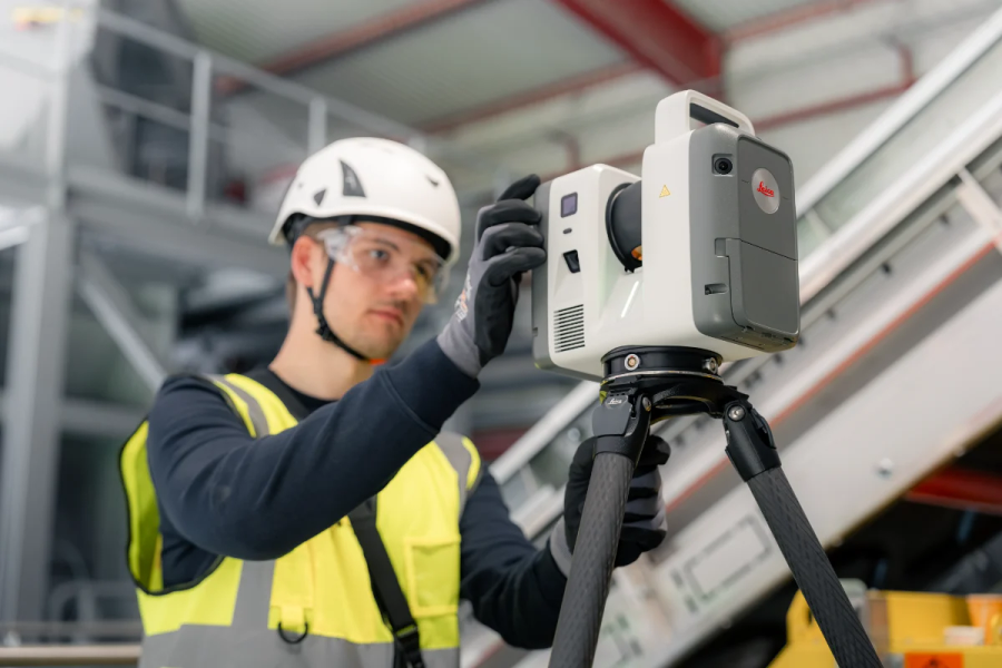
Advanced Survey Workflows
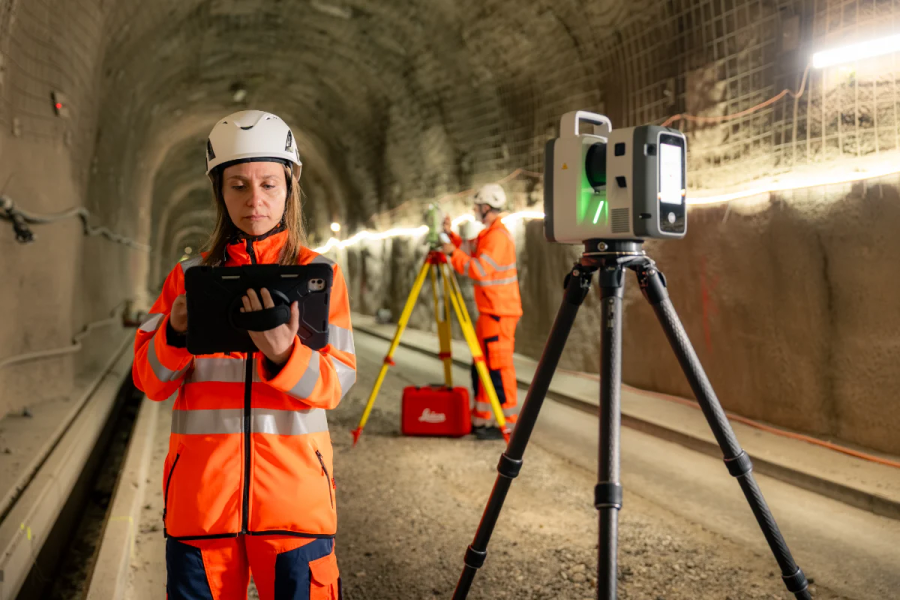
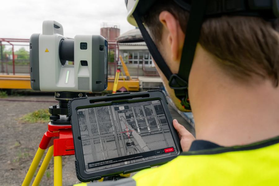
The RTC700 supports advanced surveying workflows directly in the field through Leica Cyclone FIELD 360. Users can perform resection, traverse workflows, setup over known points, and measure targets directly from full-dome scans. Integrated VIS technology enables real-time scan registration, streamlining field processes while ensuring complete and accurate data capture before leaving site.
GENERAL
| 3D laser scanner | High-speed 3D laser scanner with integrated HDR imaging, VIS technology, tilt compensation, and cloud connectivity | ||
PERFORMANCE
| RTC300 | RTC500 | RTC700 | |
|---|---|---|---|
| Data acquisition | Up to 1M pts/sec ~2 min 30 sec |
Up to 2M pts/sec ~1 min 40 sec |
Up to 2M pts/sec Full dome + HDR |
| Range | Up to 85m | Up to 130m | Up to 270m |
| Accuracy |
Angular accuracy: 10” Range accuracy: 1.2 mm + 10 ppm 3D point accuracy: 1.5 mm @ 10m |
||
| Scan rate | 1M pts/sec | Up to 2M pts/sec | |
SCANNING
| Distance measurement | High-speed time-of-flight with Waveform Digitising (WFD) | ||
| Laser class | Class 1, 1550 nm (invisible) | ||
| Field of view | 360° horizontal / 300° vertical | ||
| Resolution | 3 / 6 / 12 / 25 mm | 3 / 6 / 12 / 25 mm | 1.6 / 3 / 6 / 12 / 25 mm 0.8 mm area scan |
| Range noise | 0.2 mm @ 10m / 0.4 mm @ 50m | ||
IMAGING
| Camera system | 72 MP (6-camera), 432 MP HDR capture | ||
| Image resolution | 174 MP spherical (360° × 300°) | ||
| HDR speed | ~30 seconds | ||
| HDR processing | Automatic multi-bracket | ||
NAVIGATION SENSORS
| VIS | Real-time tracking + automatic registration | ||
| Tilt compensator | IMU-based, up to 3” accuracy | ||
| Additional sensors | GNSS, compass, altimeter | ||
GENERAL & PHYSICAL
| Weight | Approx. 5.5 kg | ||
| Dimensions | 121 × 240 × 254 mm | ||
| Environmental | IP55, -20°C to +50°C | ||
WORKFLOW & CONNECTIVITY
| Field software | Leica Cyclone FIELD 360 | ||
| Office software | Leica Cyclone REGISTER 360 | ||
| Cloud | Hexagon GeoCloud (Livelink) | ||
| Storage | 512 GB SSD | ||
| Connectivity | WLAN, USB-C | ||
| White Paper | |
|---|---|
| Livelink Whitepaper - White Paper | Sustainability |
| RTC Series Sustainability - Sustainability | Comparison Charts |
| Leica RTC700 Laser Scanner - Comparison Chart | Brochures |
| Leica RTC700 Laser Scanner - Brochure | Datasheets |
| Leica RTC700 Laser Scanner - Datasheet | Product Manuals |
| Leica RTC700 Laser Scanner - Product Manual |
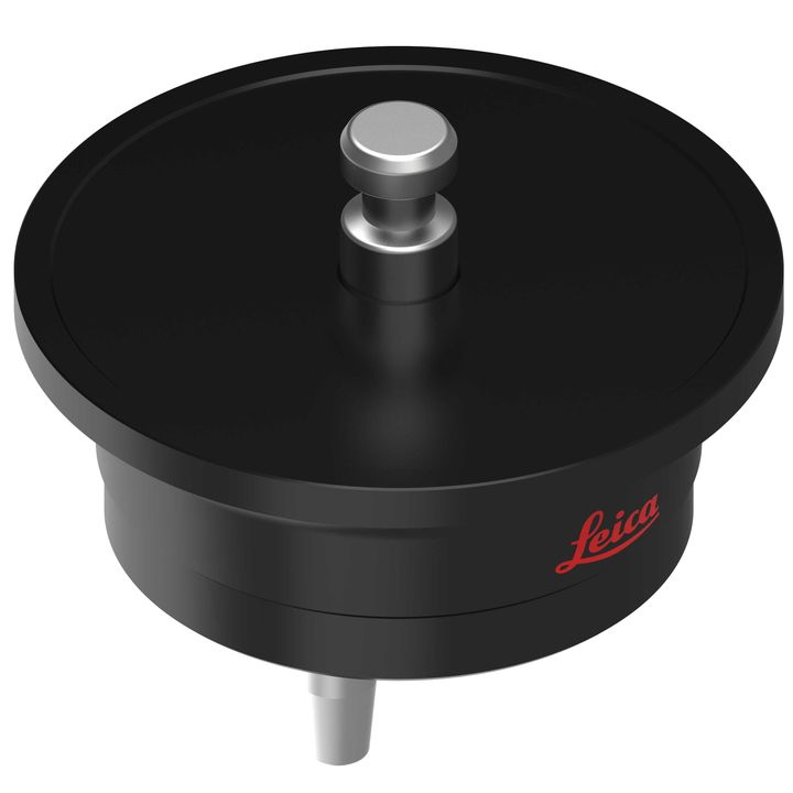
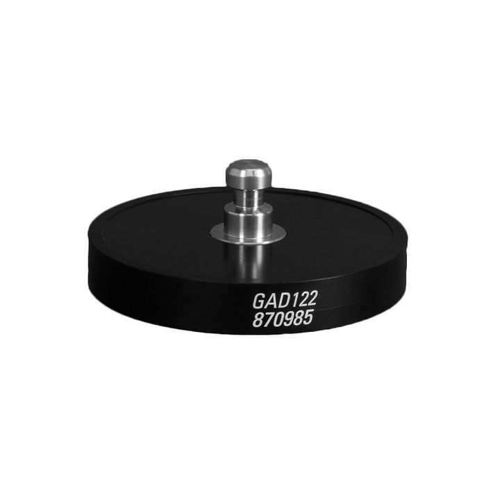
• 1x Leica RTC700 Laser Scanner
• 1x Leica GVP780 Transport Container for RTC
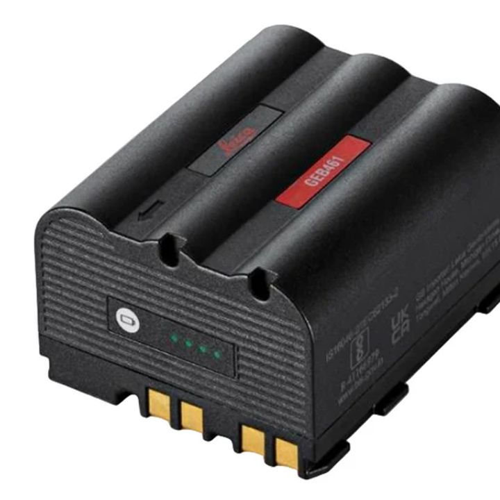
• 4x Leica GEB461 Internal Li-Ion Batteries (10.8V / 6.7Ah)
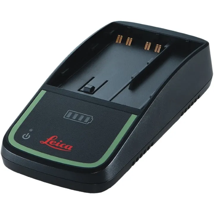
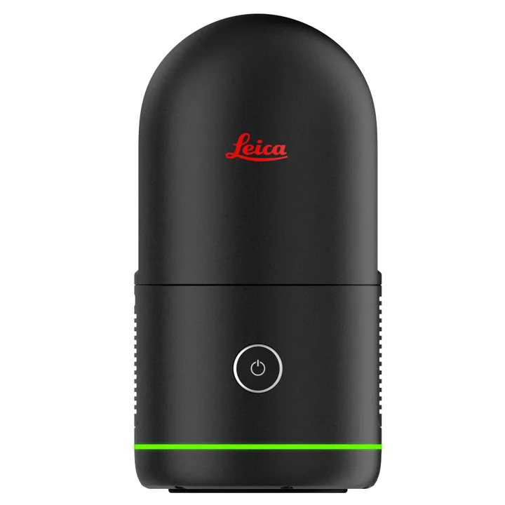
• 1x Leica GKL341 Charger Prof 5000
• 1x Leica RTC Rain Cover
• 1x Leica RTC300/500/700 Quick Guide
• 1x Hexagon GeoCloud 500GB (6-Month Trial)
• 1x 1-Year RTC Laser Scanner Basic CCP
• 1x 2-Year RTC Warranty

Leica Geosystems has developed an online learning platform for a wide range of products, to further educate customers to maximise the functionality of their instruments.
Our products have many excellent features which all contribute to increasing efficiency on site and the online learning platform assists you to gain the most value from your products.
The online learning courses are available to anyone who has a Leica Geosystems myWorld account, and an active Customer Care Package (CCP) for supported products.
![]()


Brand: Leica Geosystems |
Code: LG6020224
APN: 9319499340933 |
Supplier Code: 6020224

Brand: Leica Geosystems |
Code: LG6020224
APN: 9319499340933 |
Supplier Code: 6020224
At a glance
- Flagship model in the RTC Series, delivering the highest performance and productivity.
- Capture up to 2 million points per second with ultra-fast workflows.
- Extended range up to 270 metres for maximum flexibility across any environment.
- HDR imaging in as little as 30 seconds.
- VIS technology enables automated scan alignment and improved field productivity.
- Livelink connectivity supports real-time collaboration and project visibility.
- Automatic self-calibration ensures consistent accuracy and reliable performance on every project.
RTC700 Flagship PerformanceOne trusted design, three levels of performance – with the Leica RTC700 delivering the highest level of capability within the RTC Series. Combining maximum range, exceptional accuracy, and ultra-fast data capture, it is designed for the most demanding reality capture workflows. Integrated with Leica Cyclone FIELD 360, Hexagon GeoCloud, and Cyclone REGISTER 360 PLUS, it enables a fully connected field-to-office workflow, empowering teams to Capture. Connect. Collaborate while reducing rework, minimising downtime, and delivering results with complete confidence. |
|
|
|
Ultra-Fast CaptureBuilt for speed, the RTC700 captures up to 2 million points per second and HDR imaging in 30 seconds. High-speed data acquisition combined with rapid imaging performance allows users to capture detailed, colourised point clouds quickly and efficiently, significantly reducing time on site.
|
Next-Level AccuracyThe RTC700 delivers outstanding accuracy with angular accuracy of 10” and highly reliable point precision. The next-generation IMU-based tilt compensator provides accuracy down to 3”, ensuring dependable results even in challenging setups. Combined with automatic self-calibration, this ensures consistent, high-quality data you can trust on every project.
|
|
|
|
Capture. Connect. Collaborate.With Livelink, the RTC700 redefines how laser scanning projects are delivered by connecting field and office in real time. As data is captured, it is automatically synchronised to the cloud, allowing teams to monitor progress, verify coverage, and start processing before leaving site. Multiple operators and multiple scanners can collaborate within the same project, working from a shared, up-to-date dataset that reduces the risk of missed data. The result is a faster, more connected workflow that shortens project timelines, improves quality, and ensures confident decision-making at every stage.
|
Maximum ProductivityDesigned for maximum productivity, the RTC700 combines speed, accuracy, and intelligent workflows into a single solution. Automated registration, seamless data handling, and real-time collaboration reduce manual effort and streamline the entire field-to-office workflow, delivering faster project outcomes.
|
|
|
|
Advanced Survey WorkflowsThe RTC700 supports advanced surveying workflows directly in the field through Leica Cyclone FIELD 360. Users can perform resection, traverse workflows, setup over known points, and measure targets directly from full-dome scans. Integrated VIS technology enables real-time scan registration, streamlining field processes while ensuring complete and accurate data capture before leaving site.
|
- Field teams focus purely on fast, continuous data capture, collaborating in real time with no redundant and no missed areas.
- Real‑time visibility of the dataset in the cloud ensures full confidence before leaving the site - you walk off knowing everything has been captured, with no costly rework and no return trips
- Project leads and specialists monitor progress remotely, validate results, and guide decisions while acquisition is still ongoing
- Issues are identified and resolved during acquisition, not days later in the office
The Leica RTC solution converts reality capture into immediate, usable deliverables, eliminating delays between acquisition and action.
Instant Office Deliverables:
Download FAF files with LWPO data via Field360 while scanning is in progress. Office teams can perform progress monitoring on the construction site and begin Scan-to-Model (up to LOD300) with immediate site visibility, without waiting for field operations to conclude.
From Instant Feedback to Full Analysis:
Upload the full FAF dataset each time is needed to enable the office to perform comprehensive analysis and measurements, execute QA/QC, and support detailed scan to model, reporting, and compliance workflows.
Instant Field Deliverables:
Perform immediate Quick plan and FF/FL analysis on-site for construction tasks requiring instant validation.
The new Leica RTC is designed to remove complexity from the field through a high level of automation and an intuitive user experience.
- Built‑in intelligence including VIS, IMU‑based sensors and automatic self‑calibration, handles alignment, orientation and accuracy checks without manual intervention
- Simple, guided workflows allow data capture to be performed reliably by non‑specialist field operators, with minimal training required.
- Skilled professionals can remain in the office, remotely coordinating operations, validating results, and working on higher‑value analytical and decision‑making tasks
- The result is better resource utilisation, faster turnaround times, and increased project scalability
- Scale performance on demand
- Protect investment, avoid new hardware CAPEX
- Align spend with project demand → pay for performance only when it delivers value
Strategic impact
- Lower barrier to entry
- Higher customer satisfaction and retention
- More units sold upfront, with lifetime value growth over time
Always up to date
Free firmware updates continuously improve performance, features, and usability.
Future‑proof investment
Your scanner doesn’t become obsolete, it has an advanced internal architecture capable of evolving with new workflows, standards, and market needs.
More value, no extra cost
New capabilities delivered via software, without hardware changes or added CAPEX.
Confidence at purchase
You buy today knowing the product family is actively developed and supported long‑term.
Longer lifecycle, higher ROI
The scanner gets better every year, extending usable life and maximizing return on investment.
Designed for harsh environments
Operates reliably across wide temperature, humidity, and dust/water exposure ranges.
Ruggedized for daily field use
Durable batteries and integrated handle ensure consistent performance on demanding sites.
Always connected, always secure
Robust wireless communication and secure internal data storage — no USB sticks, no data risk.
Less downtime, more uptime
Industrial reliability means fewer interruptions, fewer failures, and uninterrupted productivity.
Metal housing, not plastic
All‑metal construction for superior durability, impact resistance, and long‑term reliability in industrial environments.
35% Recycled content
90% Recyclability of product materials (based on recycling passport)
100% Renewable energy onsite used at our own facilities
55.4Wh Hourly energy consumption*
* Energy consumption is calculated per hour with average workflow usage, and we assume that the lifespan calculation can consider the details such as 3 hours, 220 days, for 10 years. Depending on the customers’ usage and needs, this assumption might vary.Leica Geosystems has developed an online learning platform for a wide range of products, to further educate customers to maximise the functionality of their instruments.
Our products have many excellent features which all contribute to increasing efficiency on site and the online learning platform assists you to gain the most value from your products.
The online learning courses are available to anyone who has a Leica Geosystems myWorld account, and an active Customer Care Package (CCP) for supported products.
![]()
