


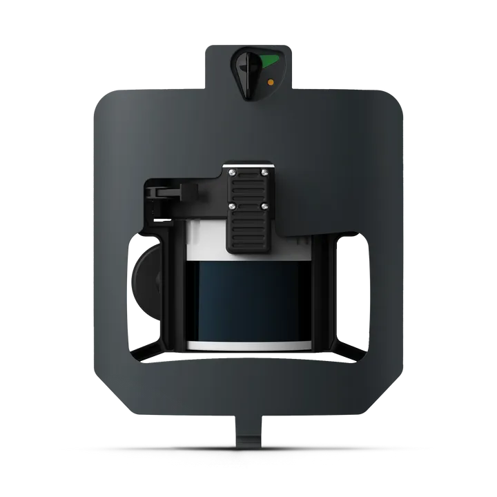
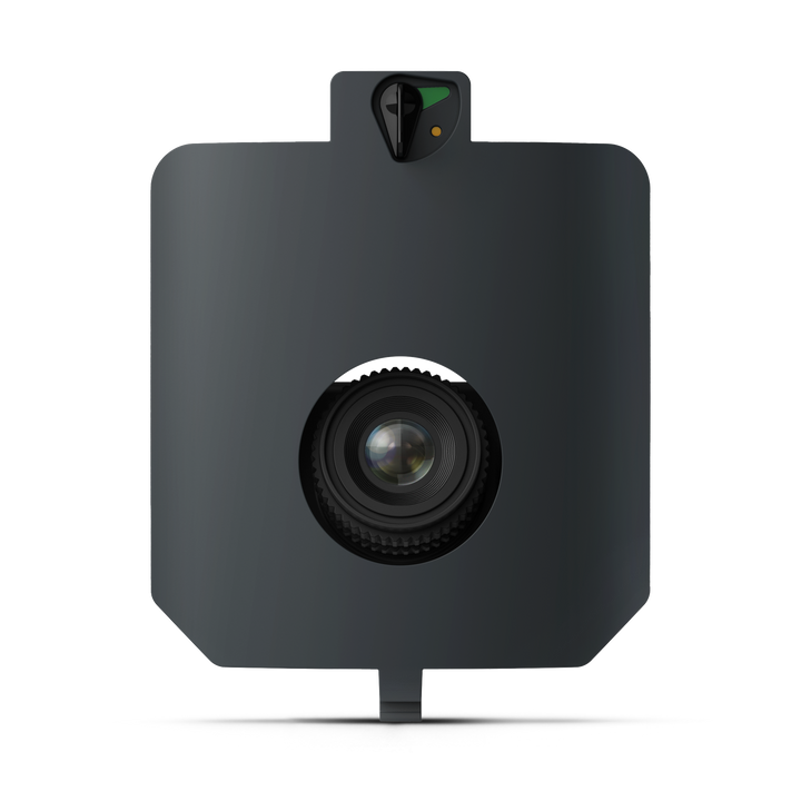
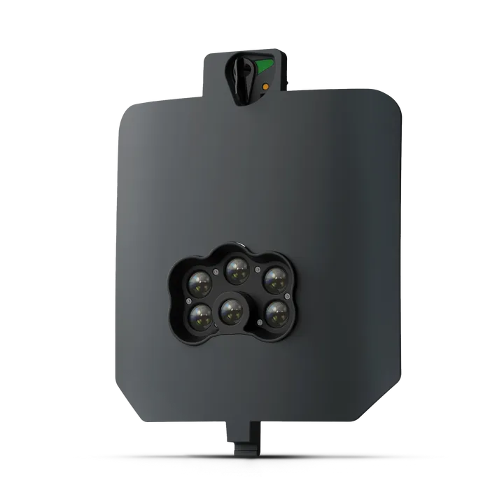
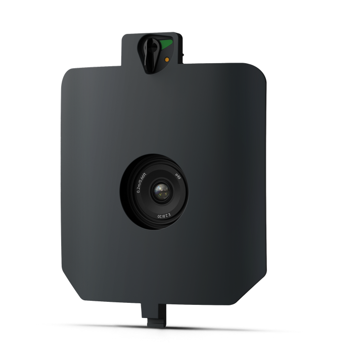
WingtraRAY UAV Bundle
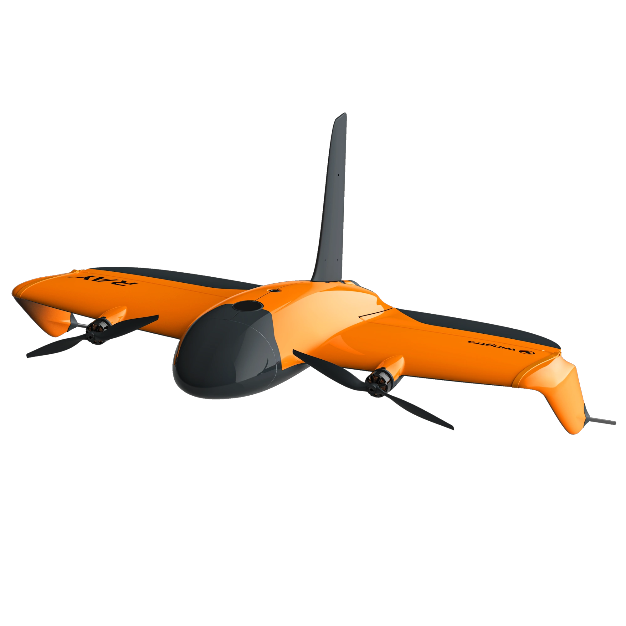
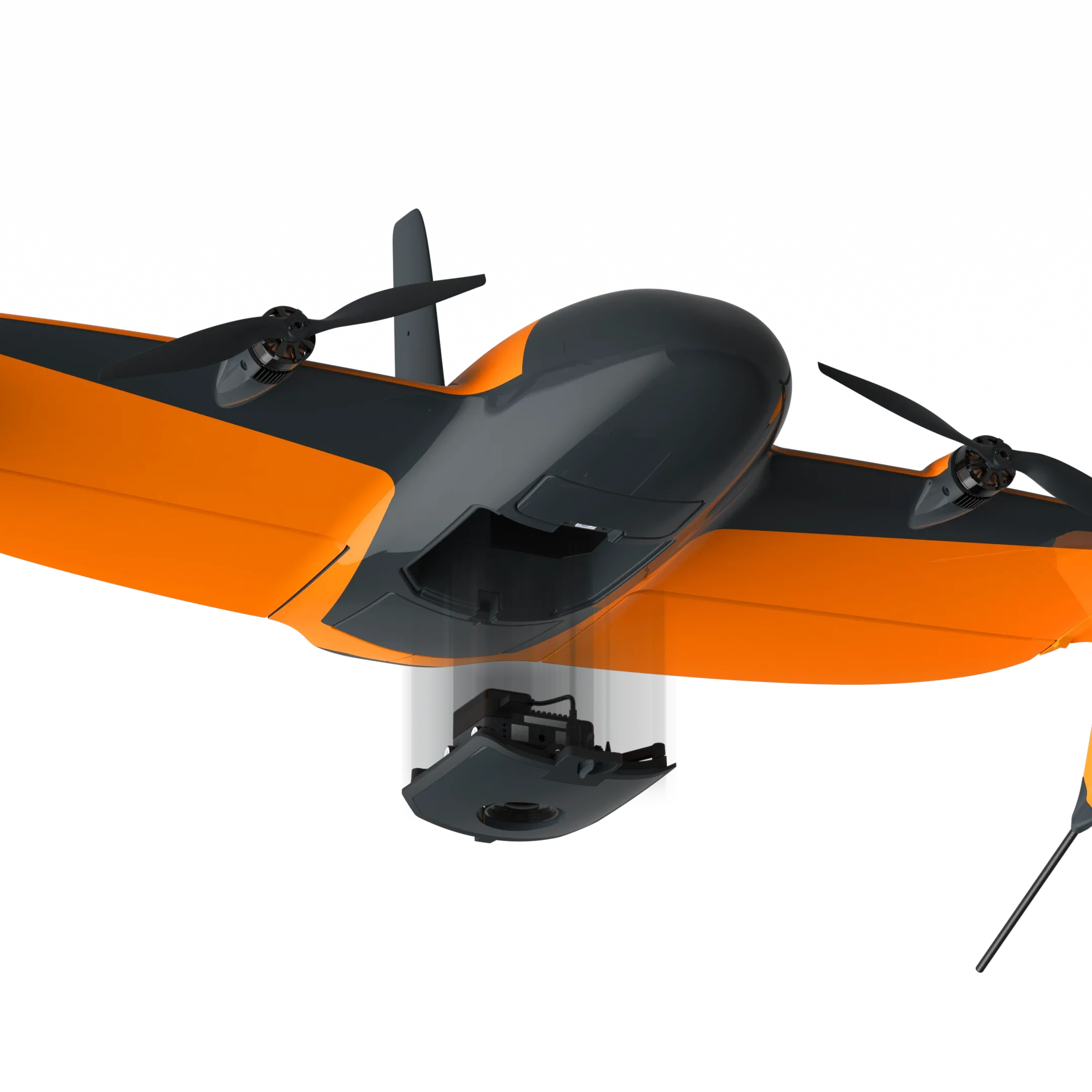
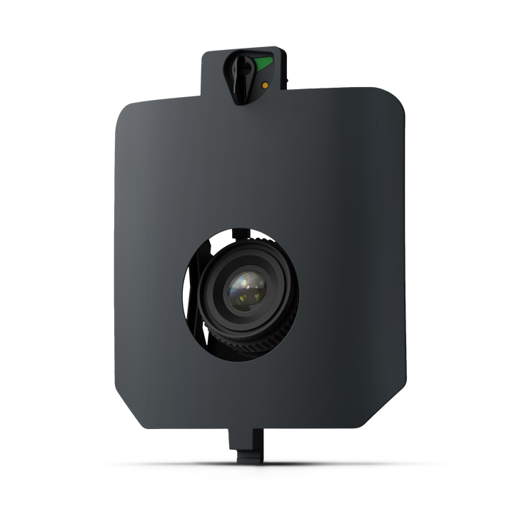
- WingtraRAY: VTOL drone made for surveyors & GIS professionals.
- Covers up to 550ha in a single flight with 3cm absolute accuracy.
- Take on more jobs with purpose-built sensors.
| Performance | |
| Maximum coverage in one flight 120m altitude above take-off point with 60% side overlap |
MAP61: 550 ha at 2.7 cm /px GSD |
| Maximum flight time | MAP61 / SURVEY61 / RedEdge-P: 59 min LIDAR: 45 min |
| Best Ground Sample Distance at 120 m flight altitude |
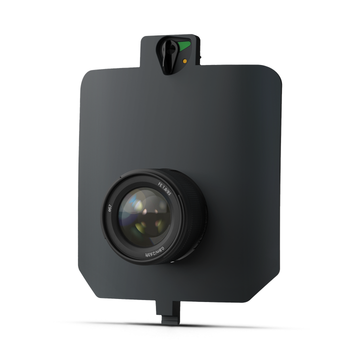
INSPECT: 0.5 cm /px |
| Best absolute accuracy (RMS x, y, z) with PPK (without GCPs) |
MAP61 / SURVEY61 / RedEdge-P: 3 cm |
| Hardware | |
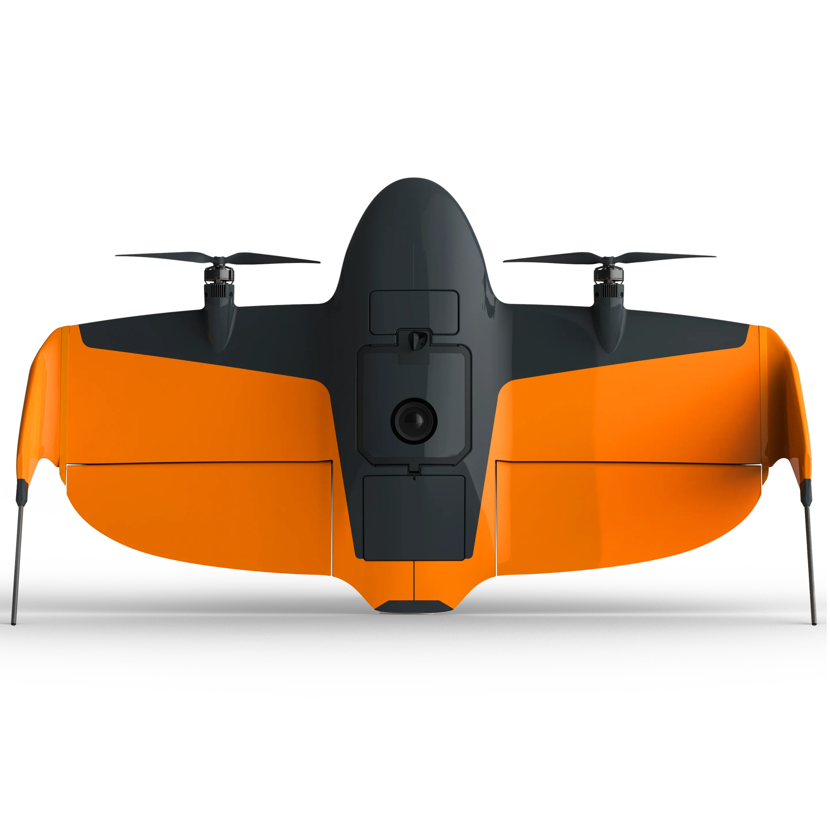
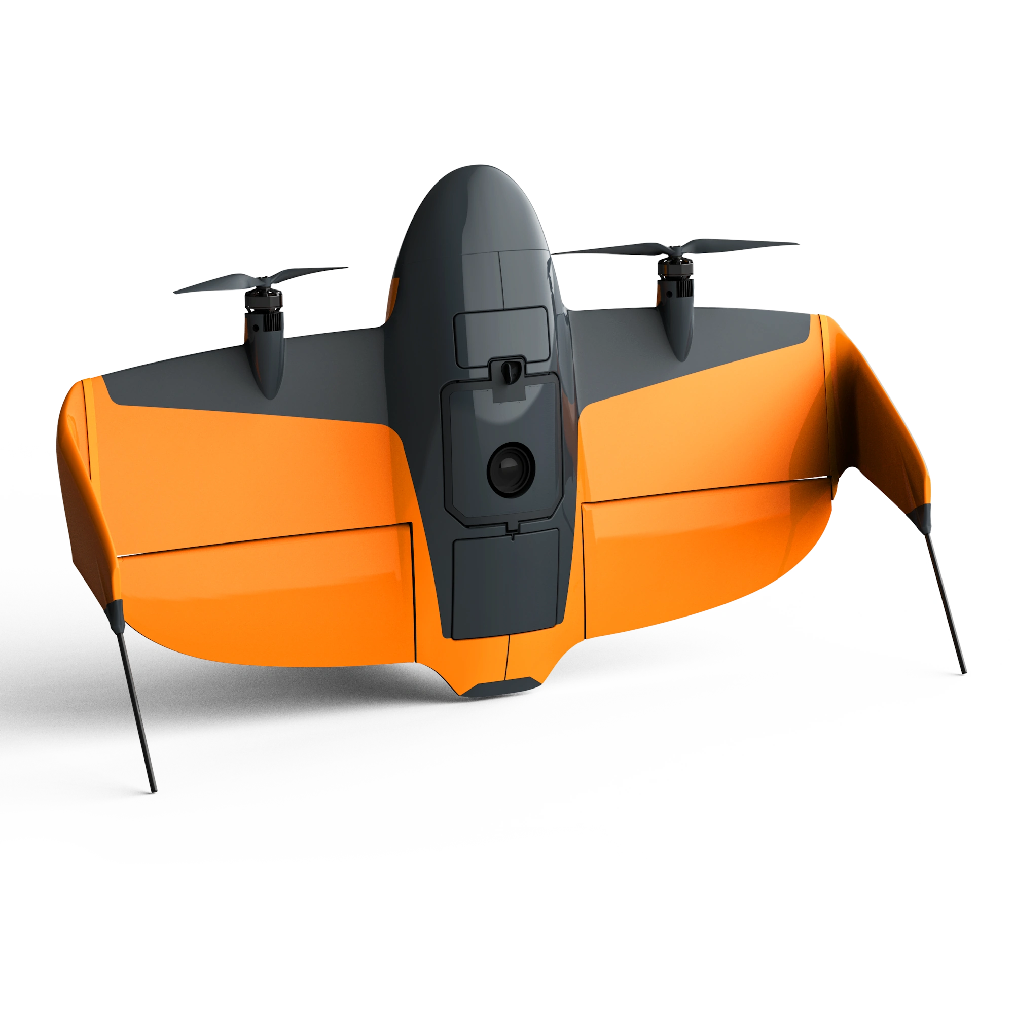
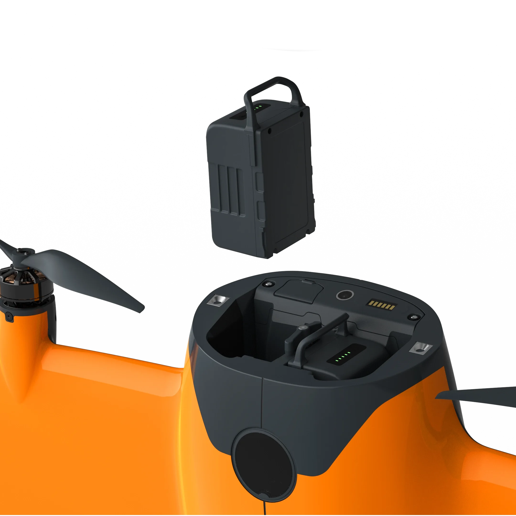
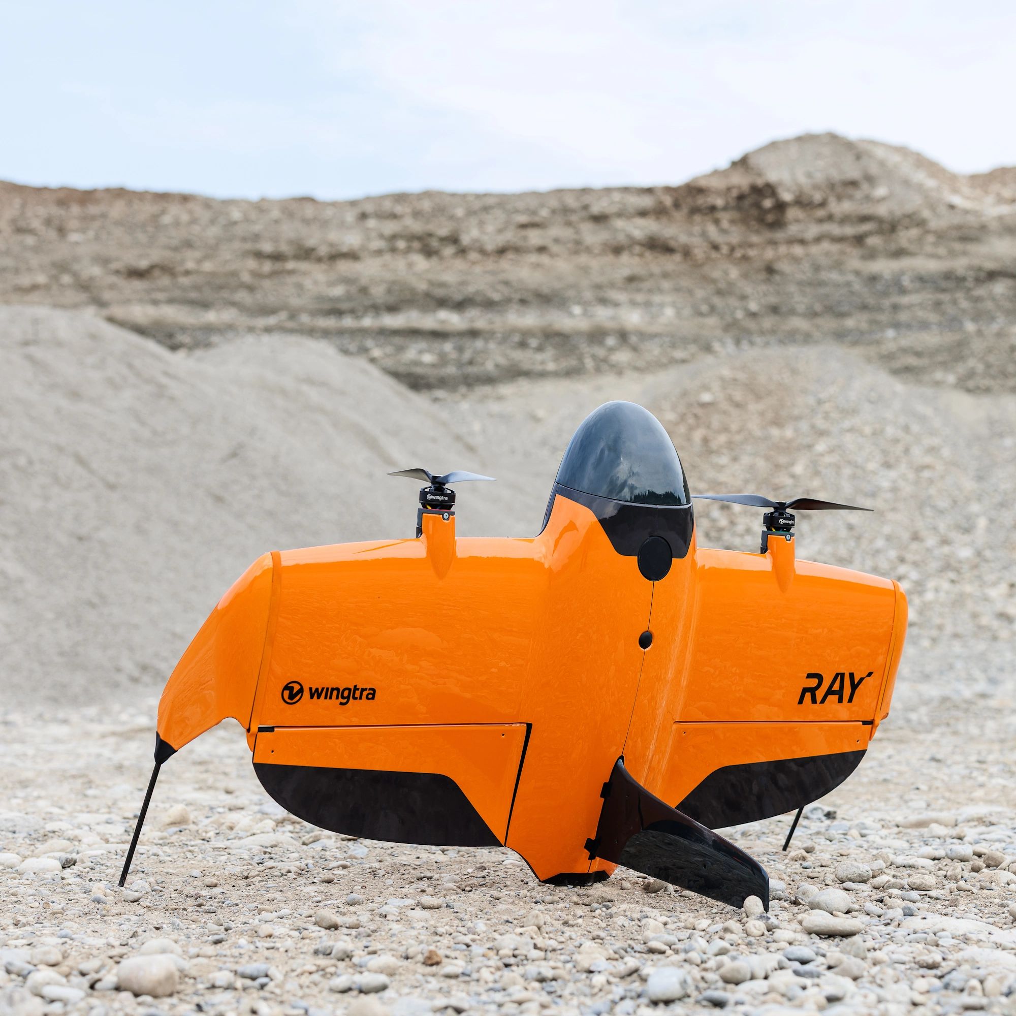
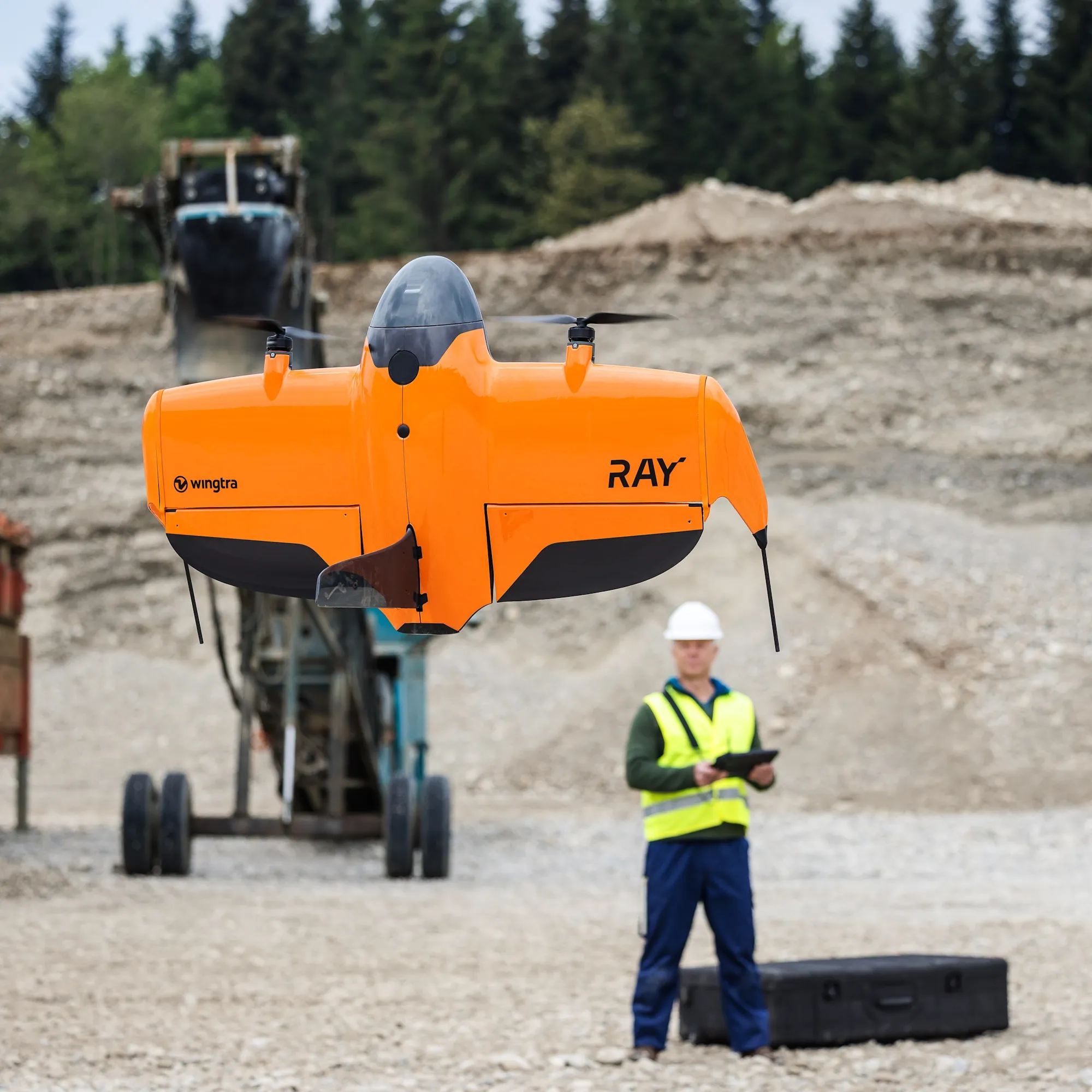
| Drone type | Tailsitter vertical take-off and landing (VTOL) |
| Drone dimension | 125 × 68 × 12 cm (without landing fin) |
| Transport case dimension | 130 x 70 x 34 cm |
| Wind resistance | Max sustained wind: 12 m/s |
| Maximum flight altitude above sea level | 5,000m AMSL with high-altitude drivetrains |
| Weather resistance | IP53 |
| Operating temperature | -10 to +40°C |
| Communication & Range | |
| Primary data link | Type: Telemetry radio Range: 10 km in direct line of sight, obstacles reduce the range |
| Secondary data link | Type: LTE with global roaming SIM card Range: Unlimited with mobile network coverage |
| Onboard GPS | GPS, GLONASS, Galileo, and BeiDou |
| Brochures | |
|---|---|
| WingtraRAY UAV Bundle - Brochure |


Brand: Wingtra |
Code: WR-BUNDLE
APN: 9319499325947 |
Supplier Code: WR-BUNDLE

Brand: Wingtra |
Code: WR-BUNDLE
APN: 9319499325947 |
Supplier Code: WR-BUNDLE
At a glance
- WingtraRAY: VTOL drone made for surveyors & GIS professionals.
- Covers up to 550ha in a single flight with 3cm absolute accuracy.
- Take on more jobs with purpose-built sensors.
| Performance | |
| Maximum coverage in one flight 120m altitude above take-off point with 60% side overlap |
MAP61: 550 ha at 2.7 cm /px GSD |
| Maximum flight time | MAP61 / SURVEY61 / RedEdge-P: 59 min LIDAR: 45 min |
| Best Ground Sample Distance at 120 m flight altitude |
INSPECT: 0.5 cm /px |
| Best absolute accuracy (RMS x, y, z) with PPK (without GCPs) |
MAP61 / SURVEY61 / RedEdge-P: 3 cm |
| Hardware | |
| Drone type | Tailsitter vertical take-off and landing (VTOL) |
| Drone dimension | 125 × 68 × 12 cm (without landing fin) |
| Transport case dimension | 130 x 70 x 34 cm |
| Wind resistance | Max sustained wind: 12 m/s |
| Maximum flight altitude above sea level | 5,000m AMSL with high-altitude drivetrains |
| Weather resistance | IP53 |
| Operating temperature | -10 to +40°C |
| Communication & Range | |
| Primary data link | Type: Telemetry radio Range: 10 km in direct line of sight, obstacles reduce the range |
| Secondary data link | Type: LTE with global roaming SIM card Range: Unlimited with mobile network coverage |
| Onboard GPS | GPS, GLONASS, Galileo, and BeiDou |

C.R. Kennedy is your national partner for all positioning needs from surveying to machine control, building construction to reality capture and everything in-between. Wherever you are in Australia, C.R. Kennedy are with you, providing an unparalleled level of service and support from industry experts to get the job done safely and efficiently.
Shop Safely and Securely with
@ C.R.Kennedy Geospatial Solutions
Our Brands
Apple
Blue Marble Geographics
CHCNAV
Chartwell
DJI
Digipas
Exyn
FPM Plummets
Flir
GME Radio
Geo-Fennel
GeoSight Laser Scanning
Geolantis.360
HPRC
HxGN SmartNet
Intuicom
Koehler Brightstar Flashlights
Leica Geosystems
Liscad
Matterport
MicaSense
Microsurvey
Mosaic
Myzox
Nedo
Octave
© 2026 C.R. KENNEDY. All rights reserved.
ICON SITE EXCAVATOR
SPECIAL OFFER - LIMITED TIME
A simple machine control solution ideal for compact excavators — with a big payoff!
