


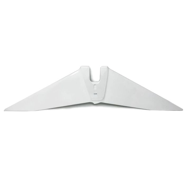
WingtraOne Gen II PPK RPAS Package
Product options:
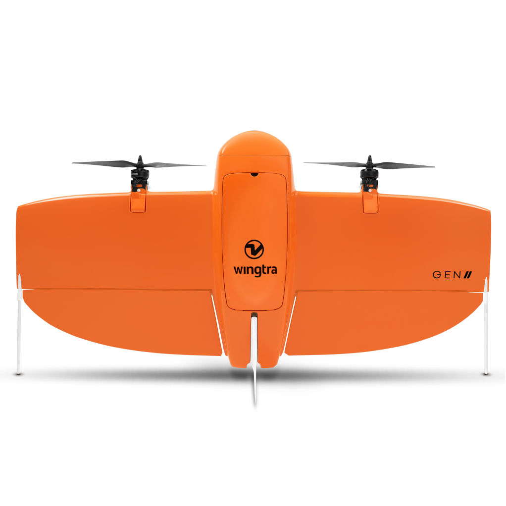
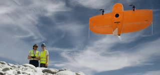
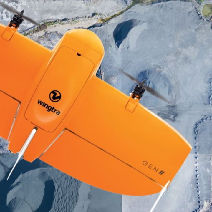
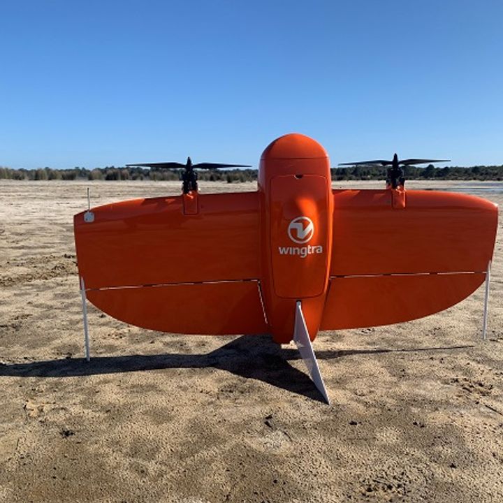
- Efficient fixed wing design with VTOL capability.
- Engineered and assembled in Switzerland to the highest standards.
- Multiple payload options available.
- High-precision PPK GNSS receiver removes the need for ground control points (GCPs).
Get your survey data faster
The WingtraOne mapping drone’s unique set of features empowers you to minimize your time flying and get more work done, be it another project in the field or analyzing your data at the office.
Survey more in a single flight
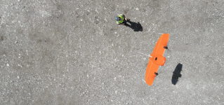
Whether it’s a highway, an industrial complex or a mine, you can now take on large projects that were previously impossible to map with a drone. And it takes you just a few hours.
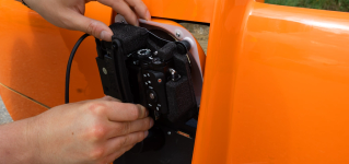
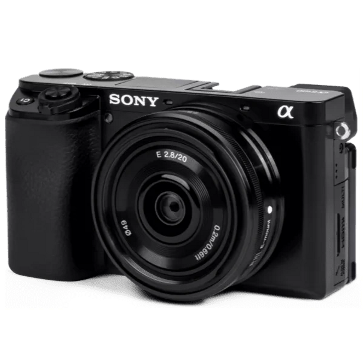
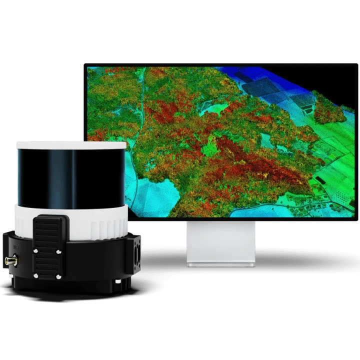
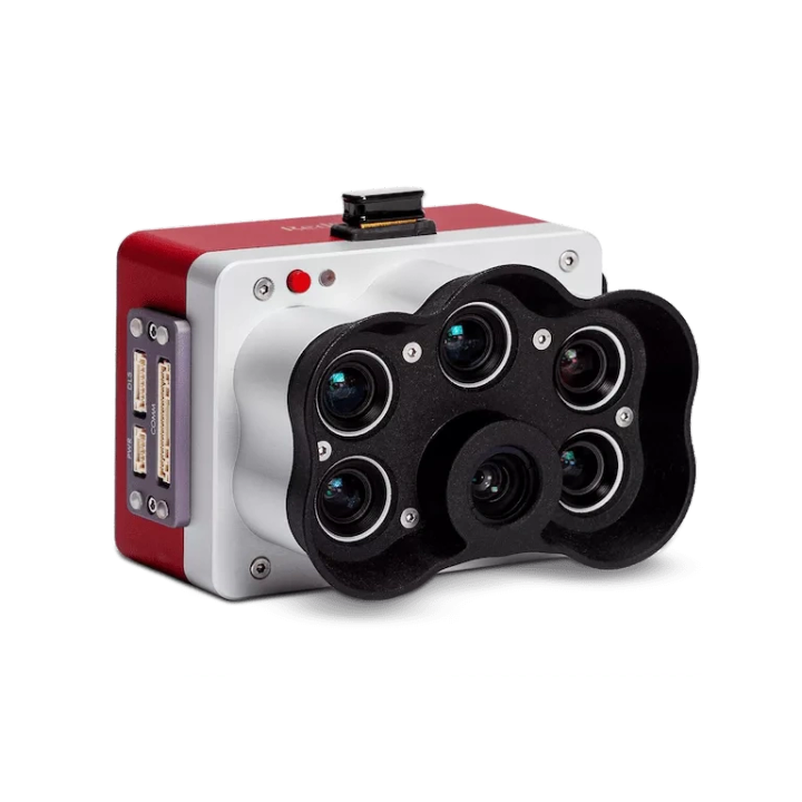
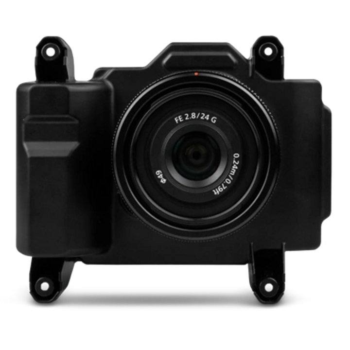
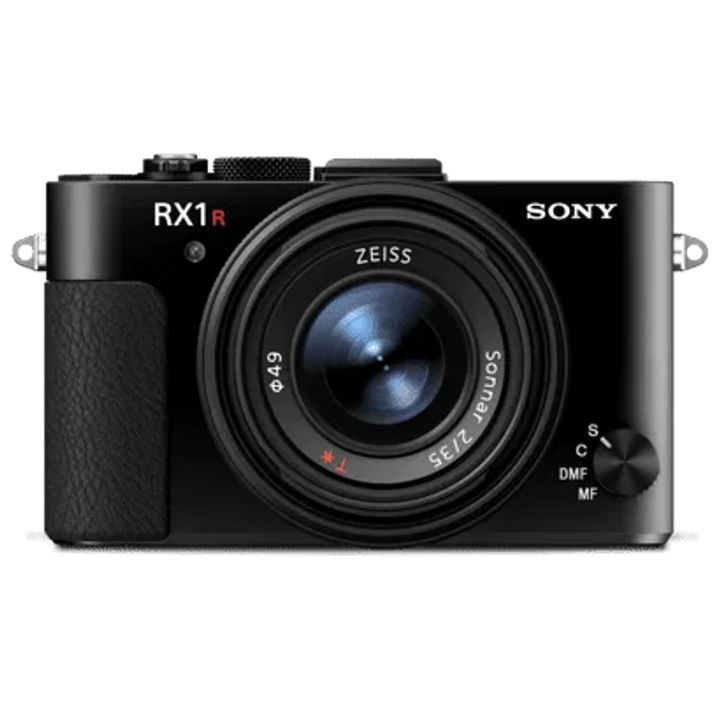
A camera for every job
WingtraOne makes no compromises on aerial image quality. Whether you need data for orthophotos, 3D models or multispectral mapping, WingtraOne carries the best camera for every application. As you exchange cameras in the field, various types of data can be acquired with the same mapping drone.

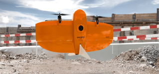
A drone for mapping anywhere
Thanks to its VTOL design, WingtraOne can take-off and land almost anywhere—even in confined spaces or on rough terrain. This enables you to collect data where other drones cannot.
Survey data quality that will set you apart
Equipped with a 61 MP full-frame camera powered by Sony, the WingtraOne takes sharp and undistorted nadir images with high pixel density, resulting in a GSD of down to 0.7 cm / px.

A drone you can rely on
No matter the conditions, WingtraOne operates safely and delivers high-quality data, consistently.
DRONE
| Drone type | Tailsitter vertical take-off and landing (VTOL) |
| Weight | 3.7kg |
| Max. payload weight | 800g |
| Wingspan | 125cm |
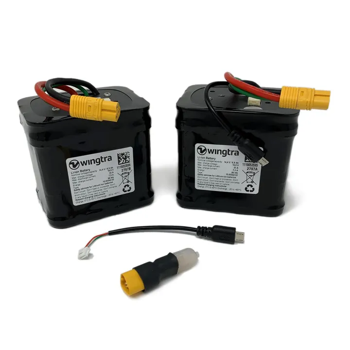
| Battery capacity | Two 99 Wh batteries (a pair of batteries required) |
| Radio link | Bi-directional 10 km in direct line of sight, keep in mind that obstacles reduce the range |
SOFTWARE & TABLET
| Flight planning & mission control software | WingtraPilot |
| Tablet Supplied | Rugged Samsung Galaxy Tab Active 3, water and dust resistant, MIL-STD-810-certified, WingtraPilot pre-installed. |
OPERATIONS
| Flight speed | 16m/s |
| Wind resistance | Max sustained wind: 12 m/s Max wind gusts: 18 m/s Max sustained wind on the ground: 8/ms |
| Maximum flight time | Up to 59 min |
| Min. space for take-off and landing | 2m x 2m |
| Temperature | -10 to +40 °C |
| Max. take-off altitude above sea level | 2500 m - With high-altitude propellers it is possible to take off from up to 4800 m |
| Weather | IP54, not recommended to fly in fog, rain and snow |
| Ground Control Points required | No (with PPK option) - Using 3 checkpoints to verify the accuracy is recommended |
| Auto-Landing accuracy | < 2m |
| Brochures | |
|---|---|
| WingtraOne Gen II PPK RPAS Package - Brochure | Specifications |
| WingtraOne Gen II PPK RPAS Package - Specifications |


Brand: Wingtra |
Code:
WOP-GENII-A6100

Product options:
Brand: Wingtra |
Code:
WOP-GENII-A6100
At a glance
- Efficient fixed wing design with VTOL capability.
- Engineered and assembled in Switzerland to the highest standards.
- Multiple payload options available.
- High-precision PPK GNSS receiver removes the need for ground control points (GCPs).
FQM Australia Nickel and Wingtra Flying High
News | Feb 2, 2022
Best of both worlds: Wingtra’s VTOL mapping drone
News | Jun 22, 2021

WingtraOne PPK - The BEST of the bunch
News | Jan 30, 2019
