


Leica GNSS Spider Software

- The all-in-one solution for GNSS networks and monitoring projects
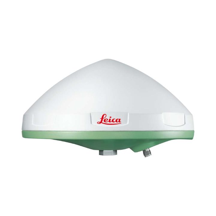
- Spider provides a solution by supporting all GNSS constellations, all sensors, and all standards
- Ideal for running public or private CORS RTK networks
Leica Spider Software Suite is the GNSS network infrastructure solution that provides easy access to all available data from all GNSS in one convenient location, helping users in the field and their colleagues in the office to be most efficient.
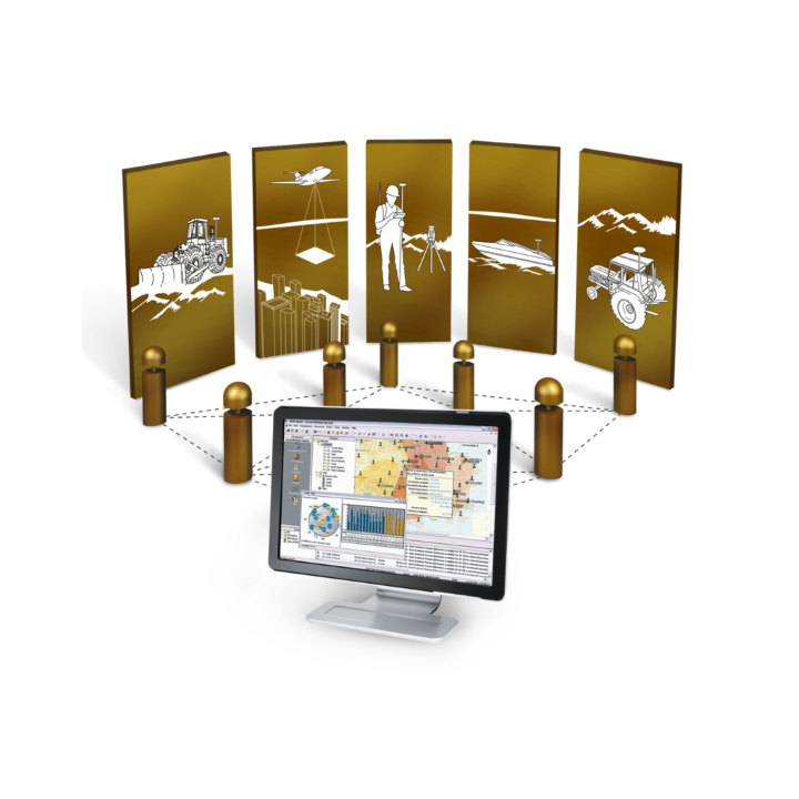
All constellations, All sensors, All applications
Be the most efficient you can be when all data is displayed in one place that can be accessed from anywhere at any time. Regardless of your application, Spider provides a solution by supporting all GNSS constellations, all sensors and all standards - making your business a success.
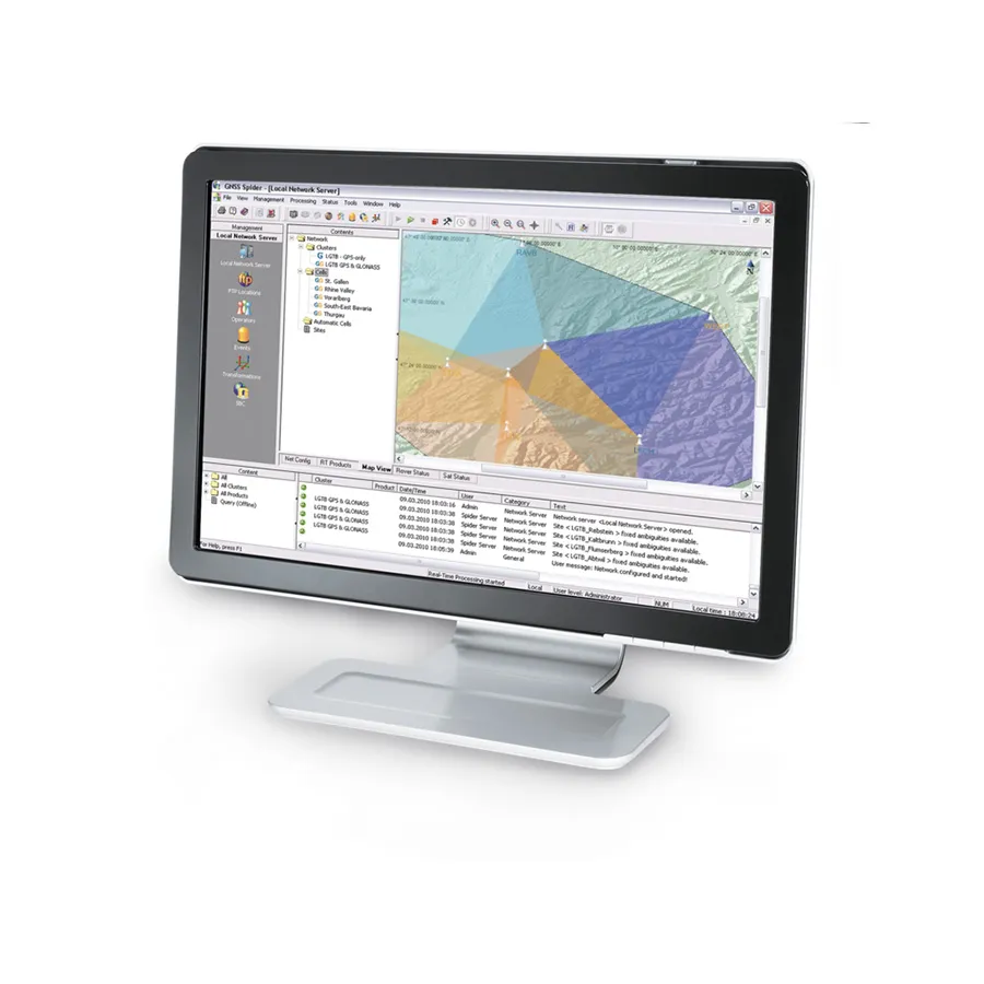
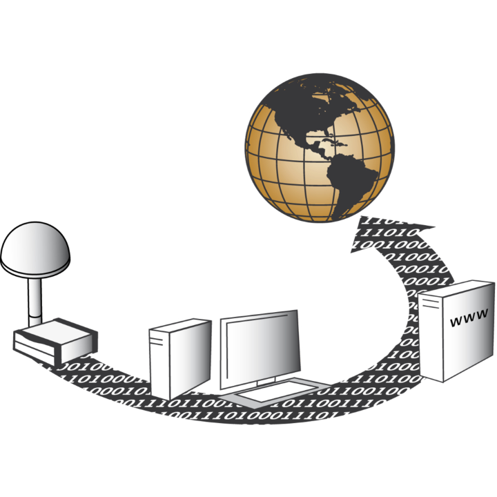
The Spider Software Suite is the first web-based solution for managing real-time and post-processing services. Operators and users can now easily access the Spider Software Suite from anywhere in the world at any time.
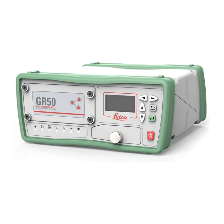
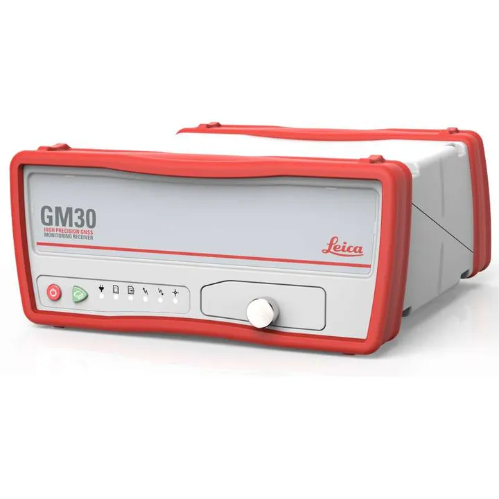
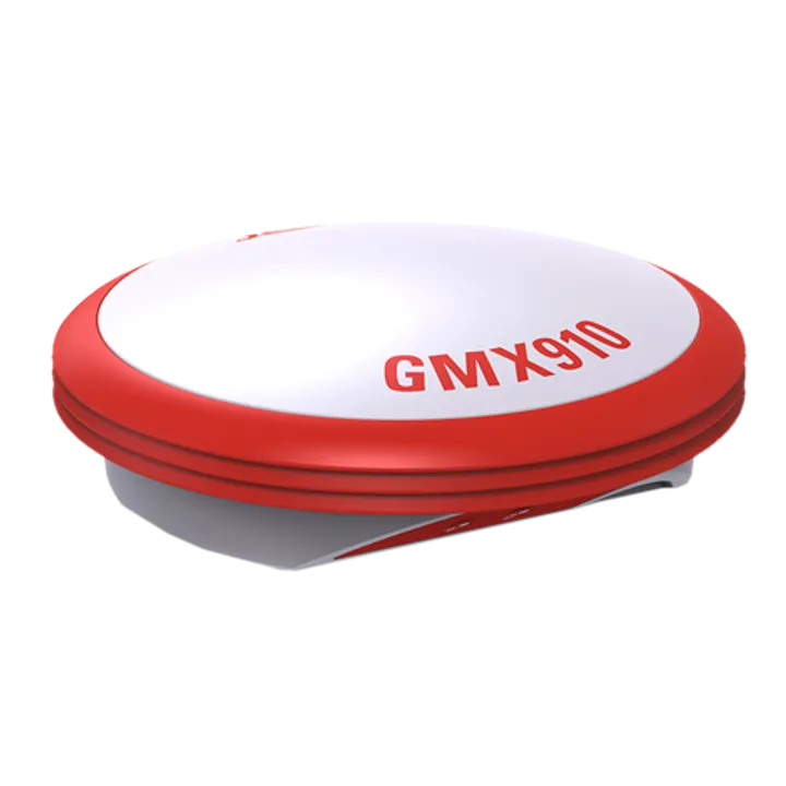
With an open standard support, all receivers can be integrated into Spider Software Suite and all rover models can be served with corrections.
The Leica Spider Business Center combines all the elements you need to efficiently operate your infrastructure, including user and access management, network and rover status monitoring, and provides end users with access to status information and post-processing services.
Applications
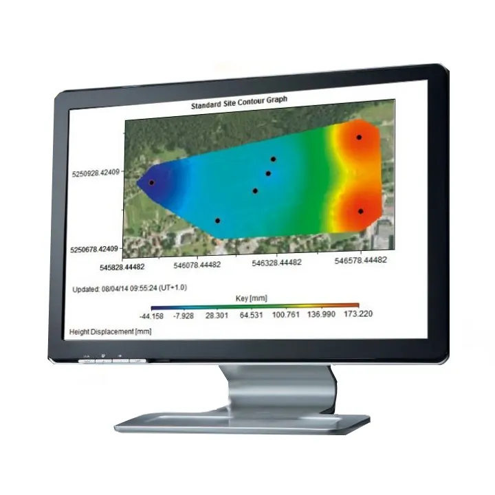
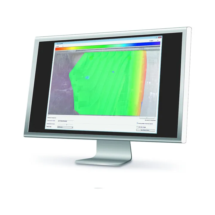
Spider provides a highly customisable platform for GNSS infrastructure. The Spider Suite can also manage large seismic networks and provide high speed real time monitoring of critical infrastructure such as buildings, bridges, mines and airports. With a modular architecture, it can be easily scaled to suit your application and budget.
Spider real time corrections services
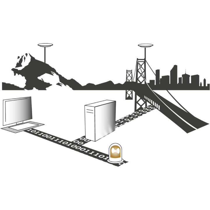
With GNSS Spider you can provide the correction data using the method, format and communication channel that best matches your customers (rovers) needs and, thus, allows serving a broad customer community. To ensure best compatibility with your client's systems, it supports various industry standard formats like RTCM and technologies such as Ntrip.
Various communities like surveying, asset collection, machine control or precision farming can be served for positioning solutions with different accuracy levels – from dm to cm within a few seconds.
Positioning services
Using continuously streamed or periodically downloaded data, the Spider Positioning module computes station coordinates automatically and continuously in real time or in post processing. With proven processing algorithms tuned to monitoring applications, Spider Positioning provides excellent accuracy and reliability even with single frequency receivers. Spider Positioning results can be analysed conveniently using Leica SpiderQC and Leica GeoMoS and accessed online using.
| Brochures | |
|---|---|
| Leica GNSS Spider Software - Brochure |


Brand: Leica Geosystems |
Code: LG812396
Supplier Code: 812396

Brand: Leica Geosystems |
Code: LG812396
Supplier Code: 812396
At a glance
- The all-in-one solution for GNSS networks and monitoring projects
- Spider provides a solution by supporting all GNSS constellations, all sensors, and all standards
- Ideal for running public or private CORS RTK networks
