


IQMaps
- Advanced GPR data analysis for target management
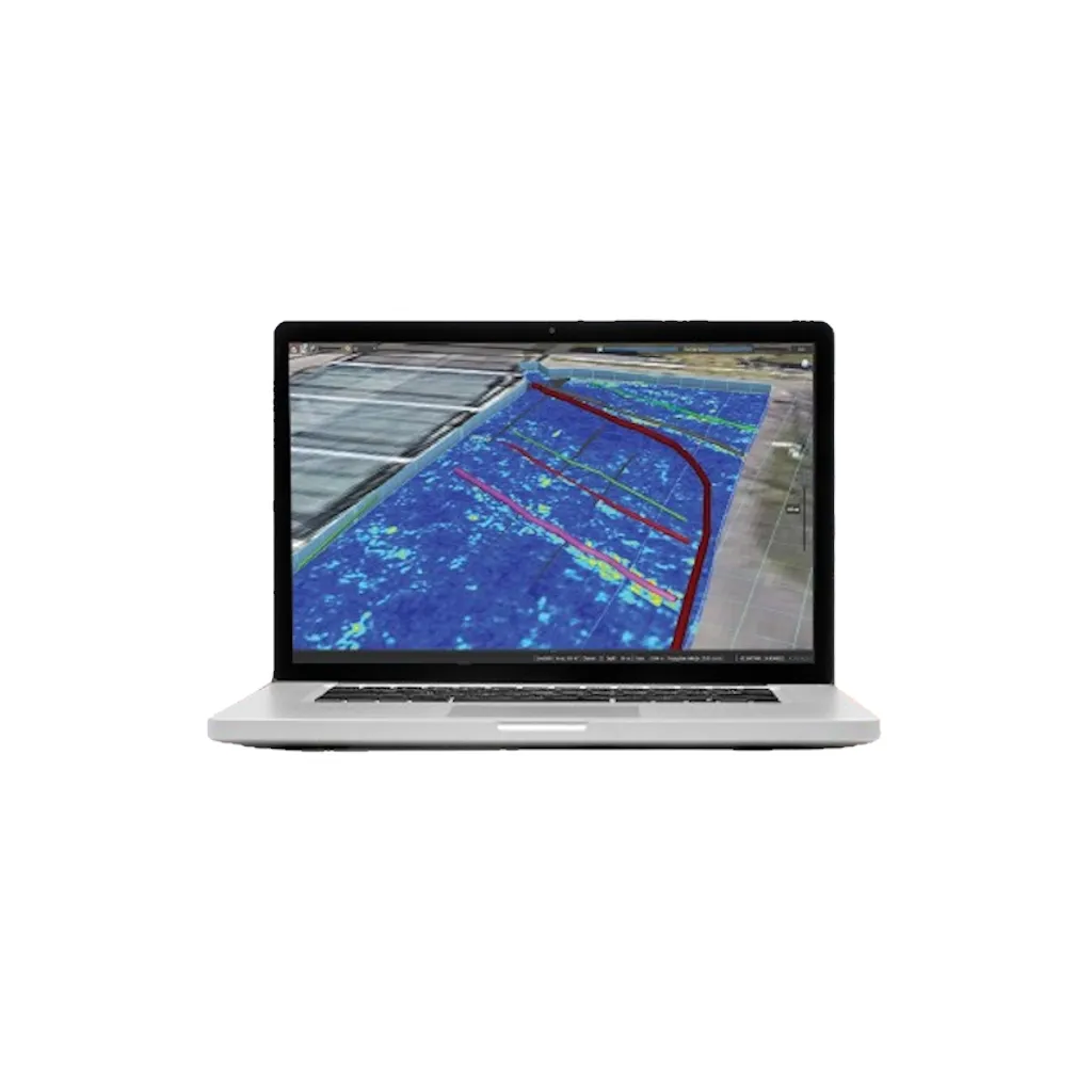
- Real-time processing and 3D visualisation
- For analysis of Utilities, Sinkholes, Voids and Archaeological sites
- For GPR and Non-GPR Experts
IQMaps is IDS GeoRadar's software application for advanced GPR data analysis, which provides a fast interfacing between the user and the GPR data. Machine time is reduced and real-time processing and 3D visualisation are available for advanced target management. IQMaps is the right post-processing solution for utility mapping, archaeological and environmental surveys and extensive mapping of large size projects.
In addition to underground assets detection and mapping, other functionalities are available for 3D mapping of sinkholes, inspection chambers and archaeological sites. IQMaps provides a step by step approach to guide the user in performing the best and the quickest data analysis with the help of a customisable processing and analysis tool, both for skilled and non-skilled users.
| Datasheets | |
|---|---|
| IQMaps - Datasheet |
Brand: Leica Geosystems |
Code: LG5310320
Supplier Code: 5310320

Brand: Leica Geosystems |
Code: LG5310320
Supplier Code: 5310320
At a glance
- Advanced GPR data analysis for target management
- Real-time processing and 3D visualisation
- For analysis of Utilities, Sinkholes, Voids and Archaeological sites
- For GPR and Non-GPR Experts
