

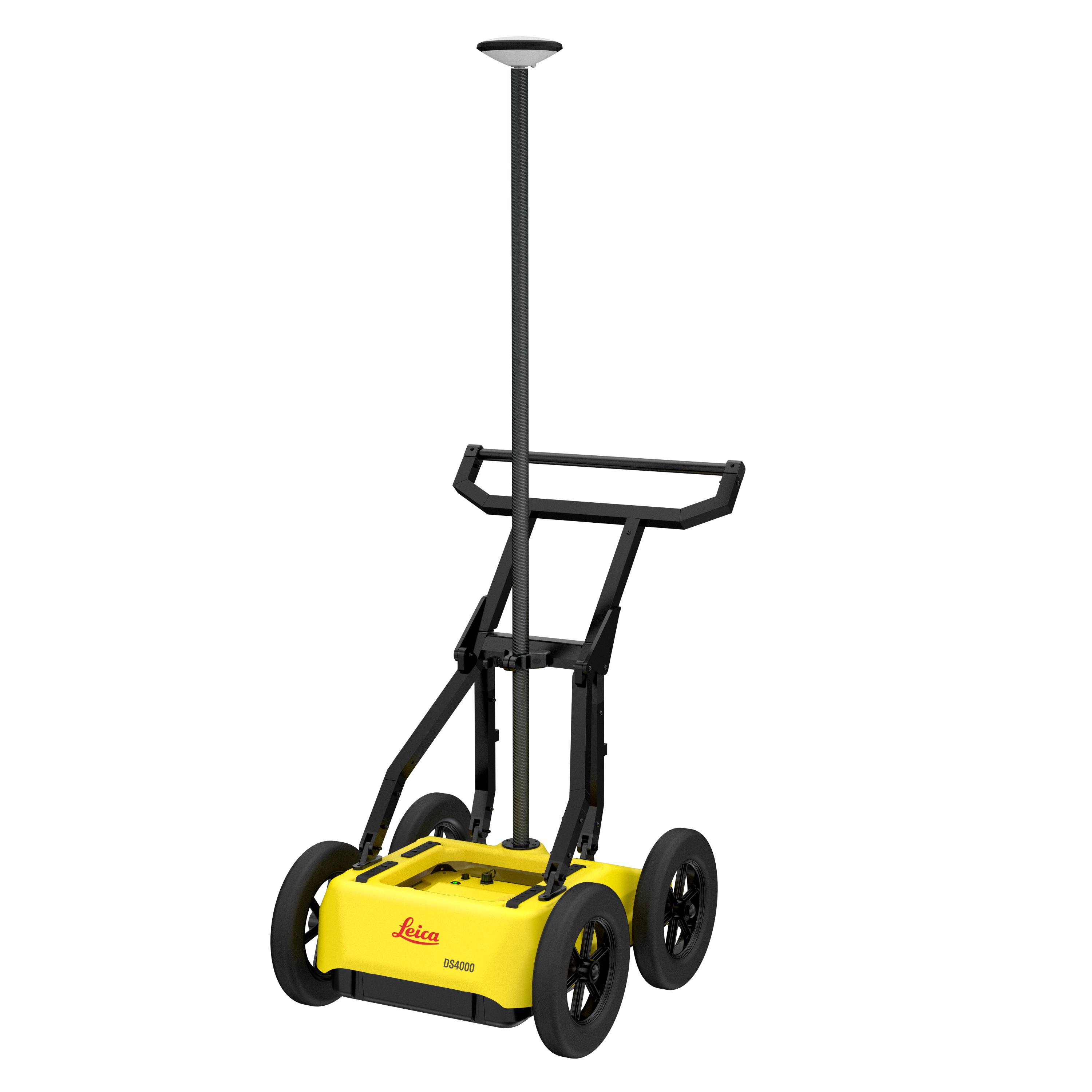
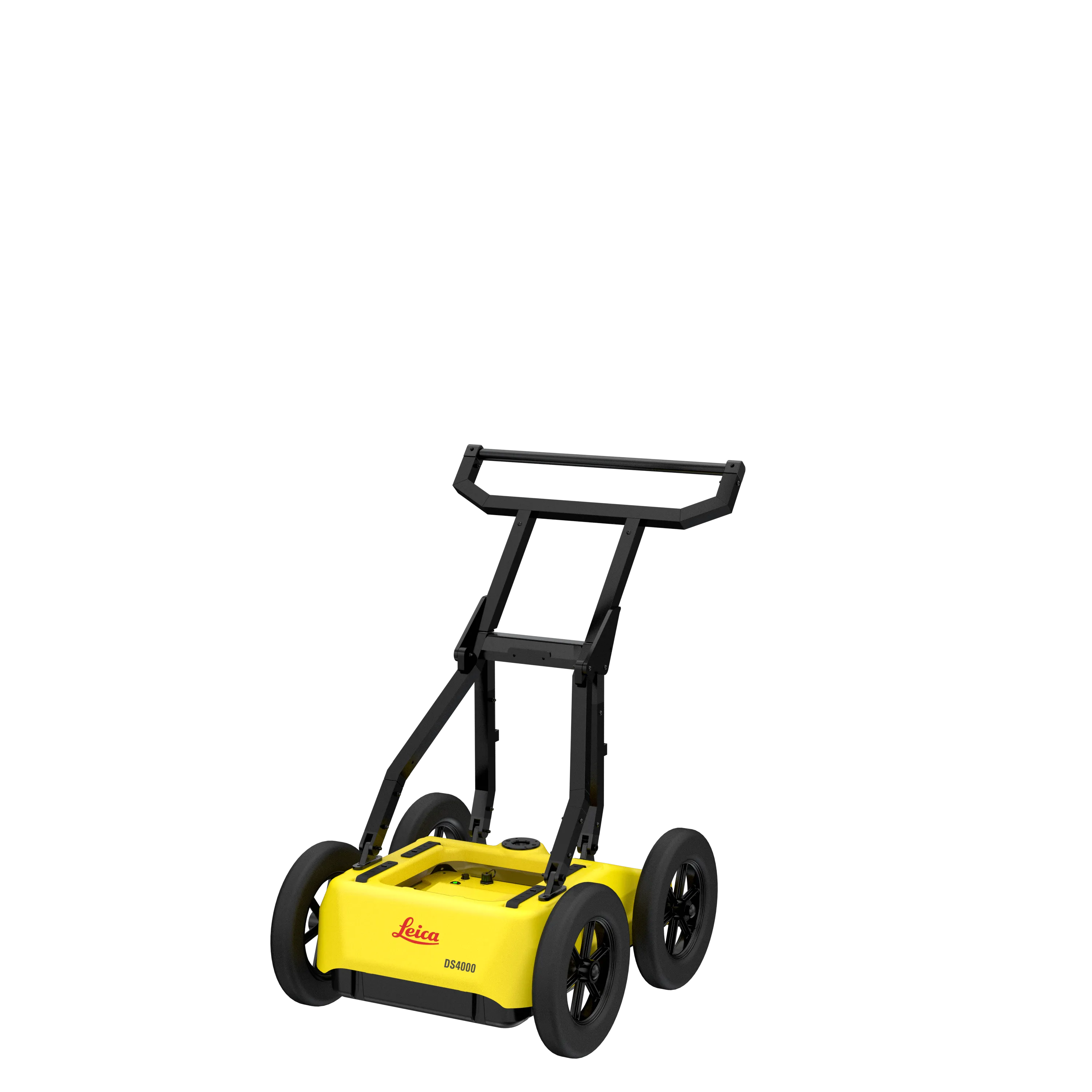
Leica DS4000 - Ground Penetrating Radar (GPR)


- Unmatched Detection Depth
Detects underground utilities up to 60% deeper than traditional GPR systems. - Patented Equalized Scrambling Technology (EST)
Ensures crystal-clear visibility of complex underground networks, helping teams avoid costly damage and safety risks. - Ultra-Light & Mobile
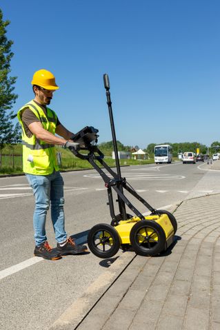
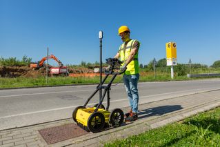
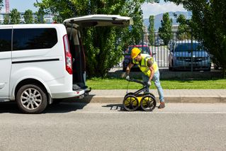
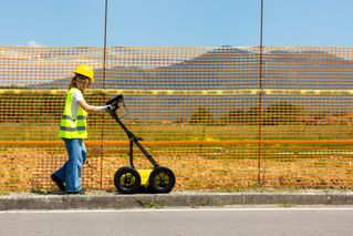
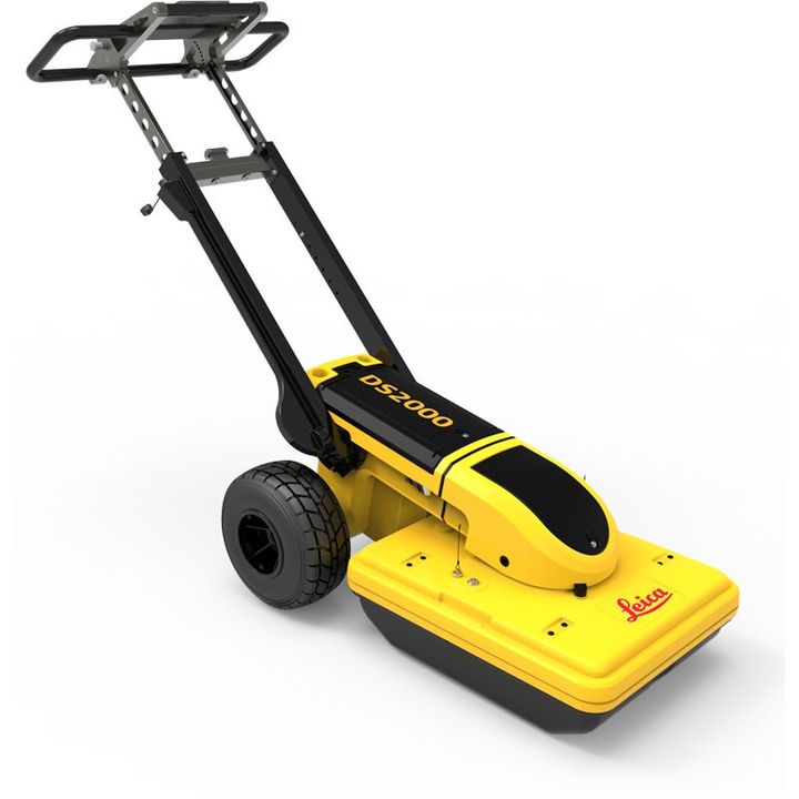
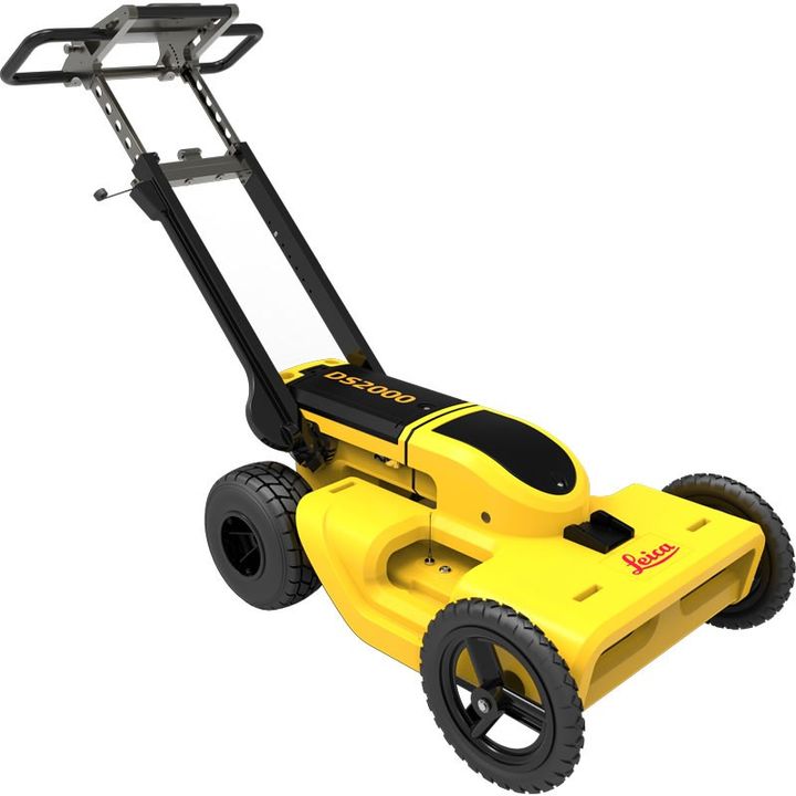
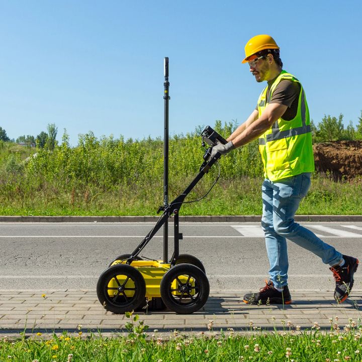
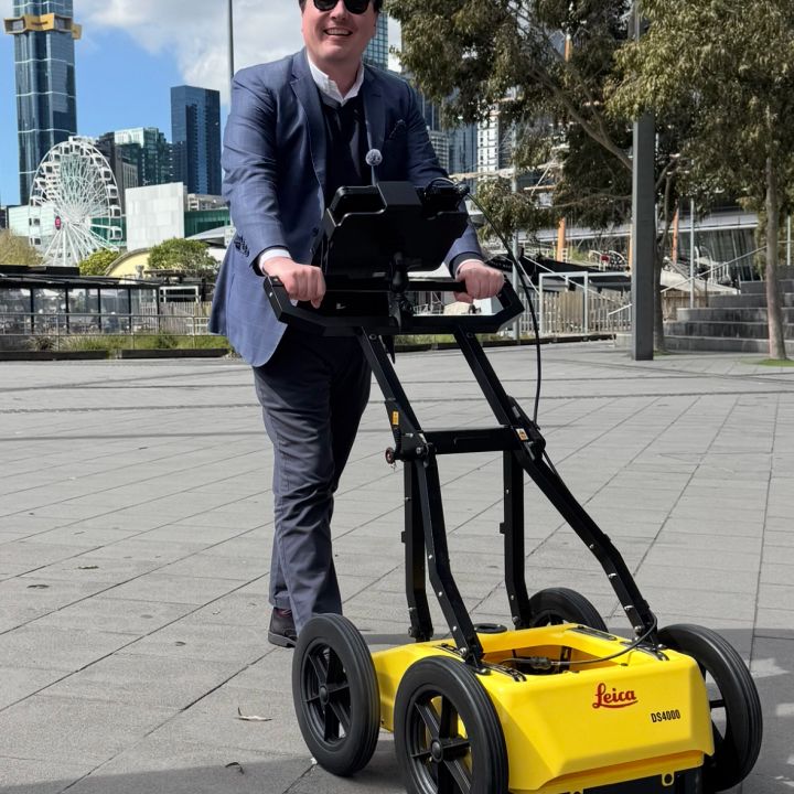
Weighing 20kg, the DS4000 is compact and engineered for single-user deployment. - Fast, Streamlined Workflow
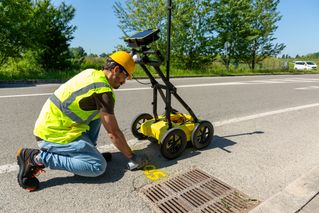
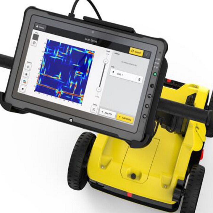
With Quick Scan Mode, intuitive controls, and no GPS dependency, users can scan, mark, and move with speed. - Flexible Positioning Options
Works standalone or integrates seamlessly with GPS/GNSS or Total Station for full project workflows and client-ready deliverables. - Advanced Software Integration
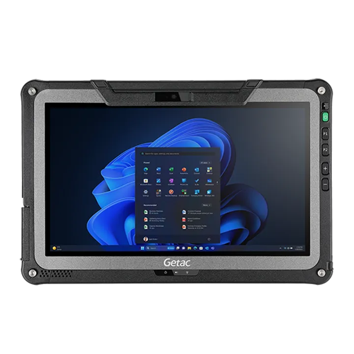
uMap Field Software – Simple, fast, real-time data capture and mapping
IQMaps – Optional detailed post-processing and reporting for deeper analysis and better decision-making
Accurate data and reduced risk
With the DS4000, surveyors can deliver accurate data in complex environments thanks to EsT patented technology, which extends the detection range. Construction and utilities teams can reduce risk, avoid costly setbacks during excavation, and keep their timelines on track.
Simplify your detection workflow
DS4000 employs the latest software technology solutions: uMap field software for fast data collection and easy management and IQMaps post-processing software for advanced analysis.
DS4000 Accessories (Optional)
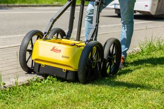
External positioning support for mounting GPS/GNSS or Total Station Off-road wheels designed for reliable performance on challenging terrains Hard shipping box for safe transportation
Designed to perform
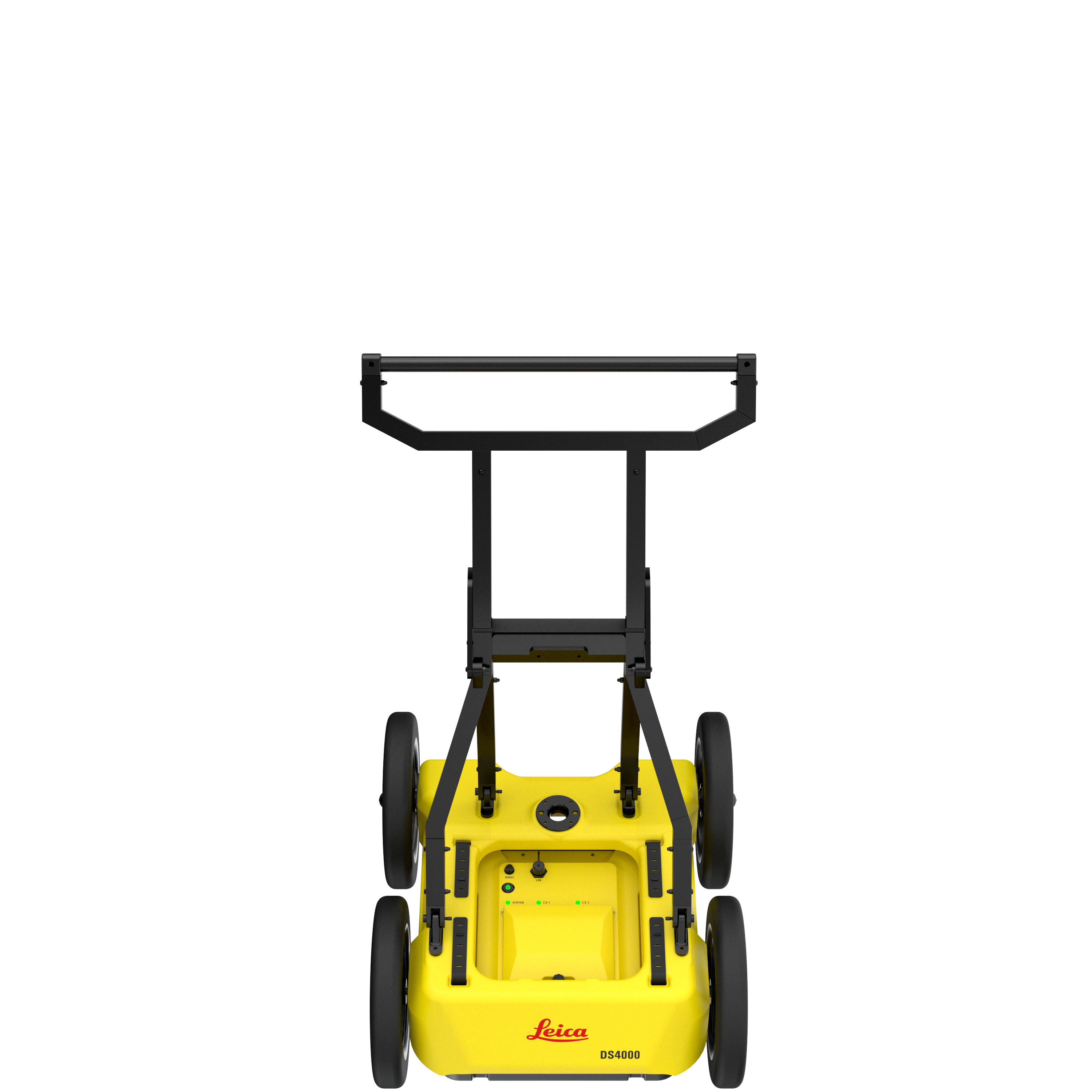
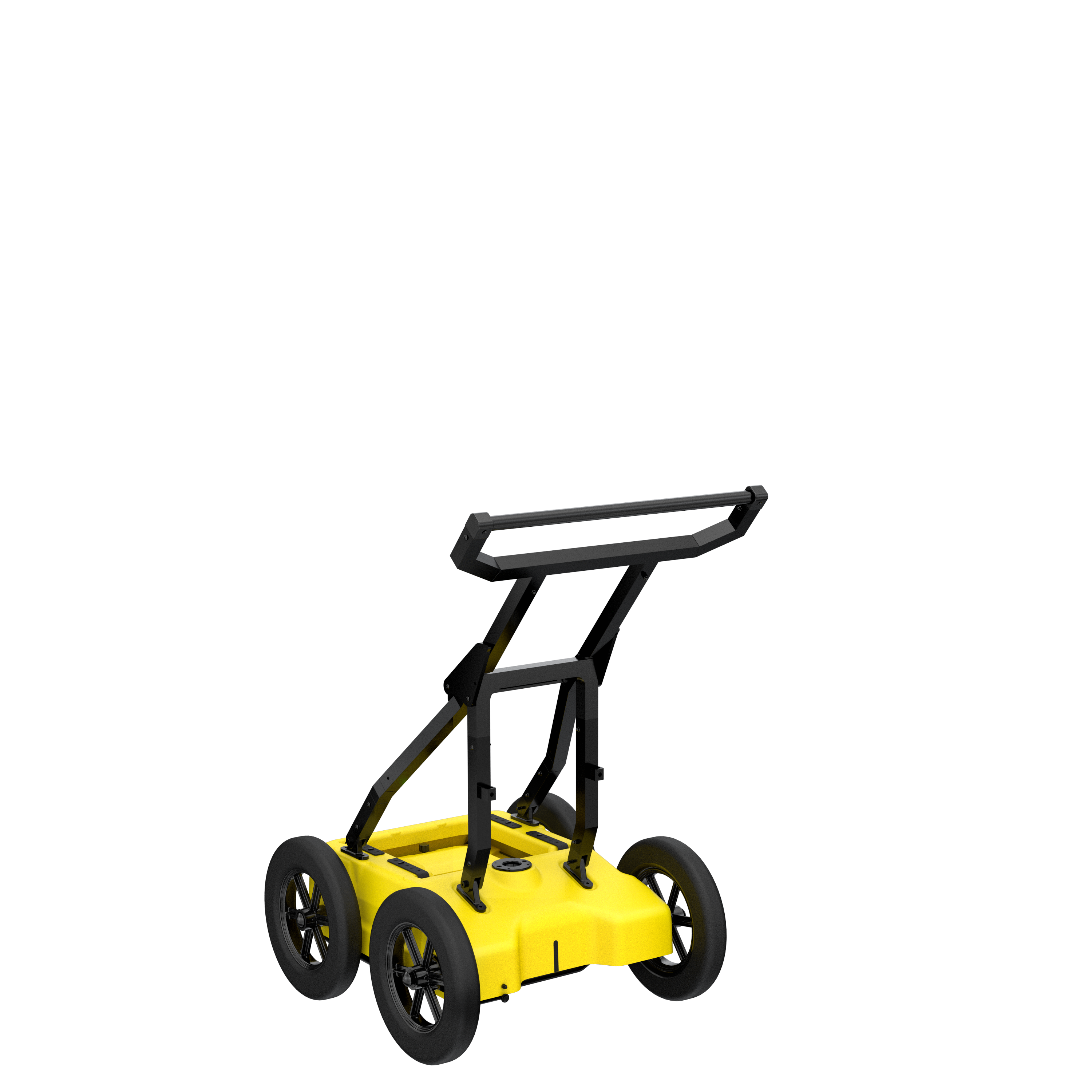
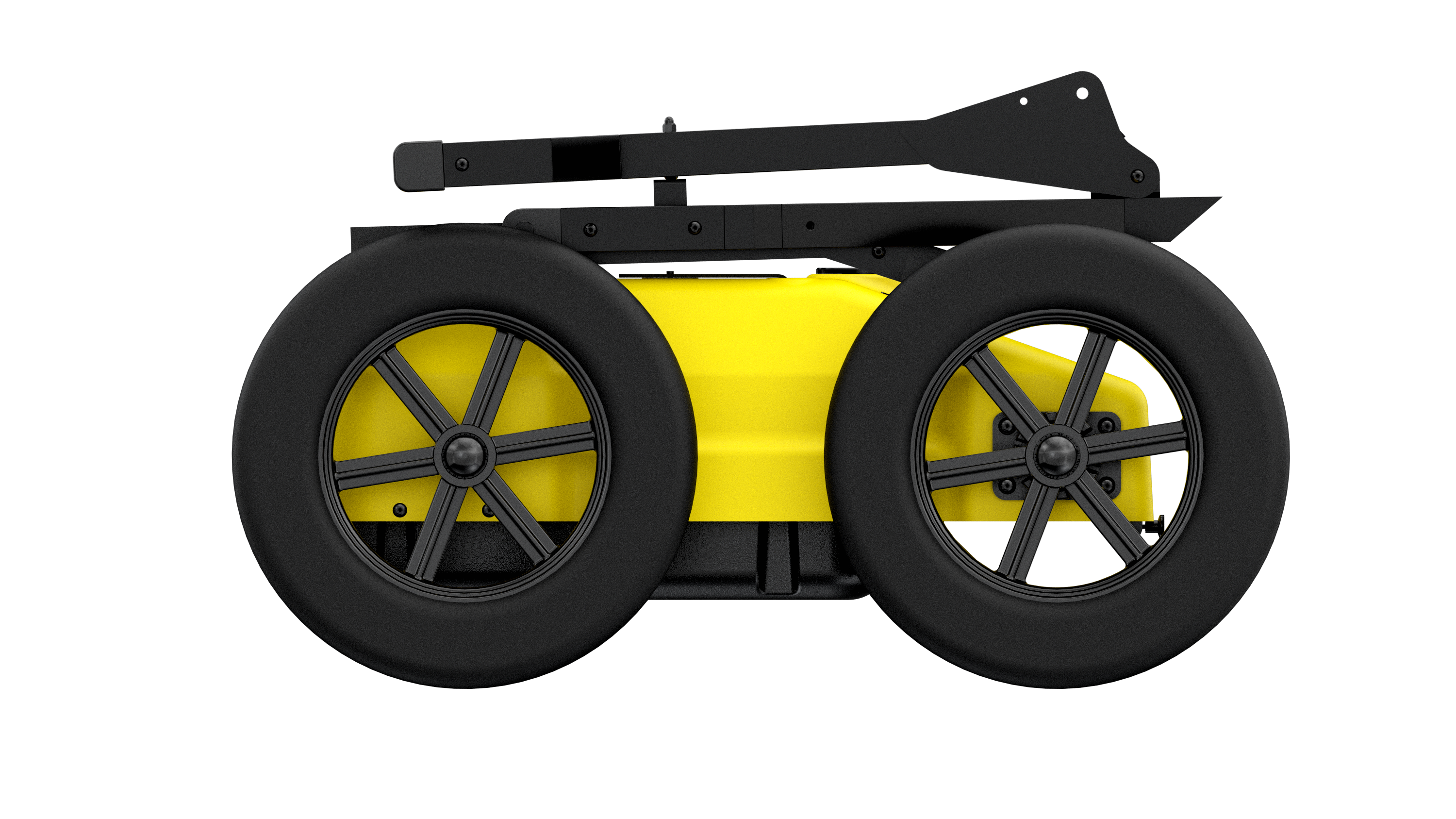
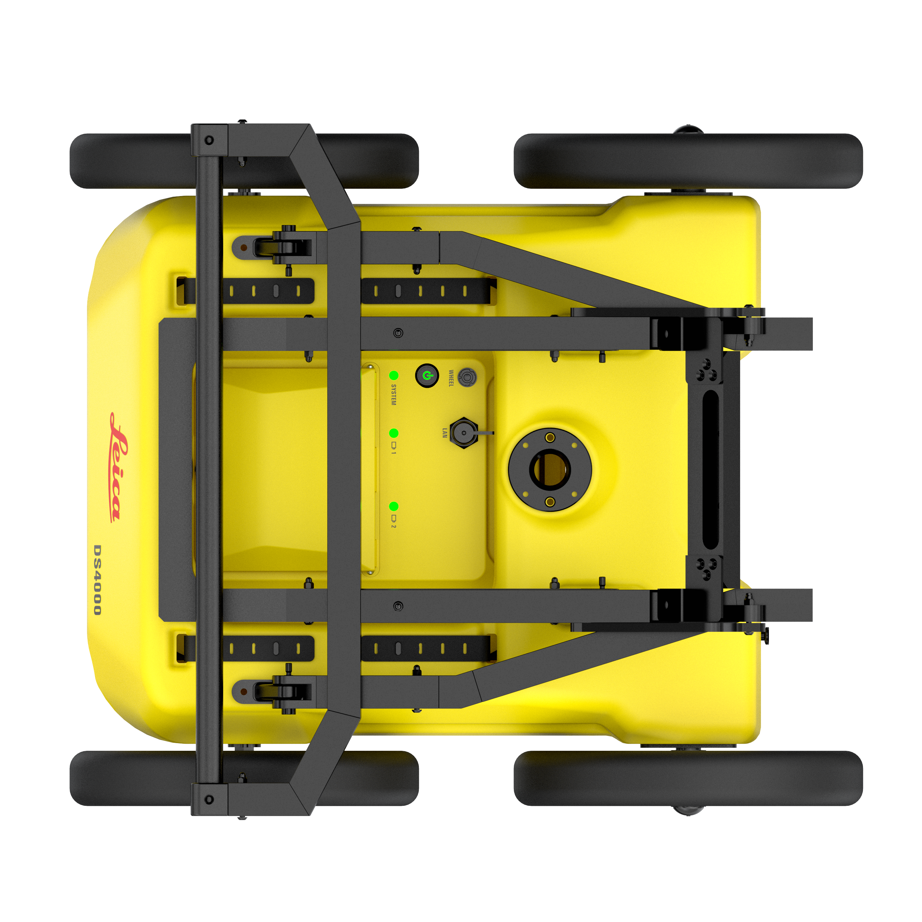
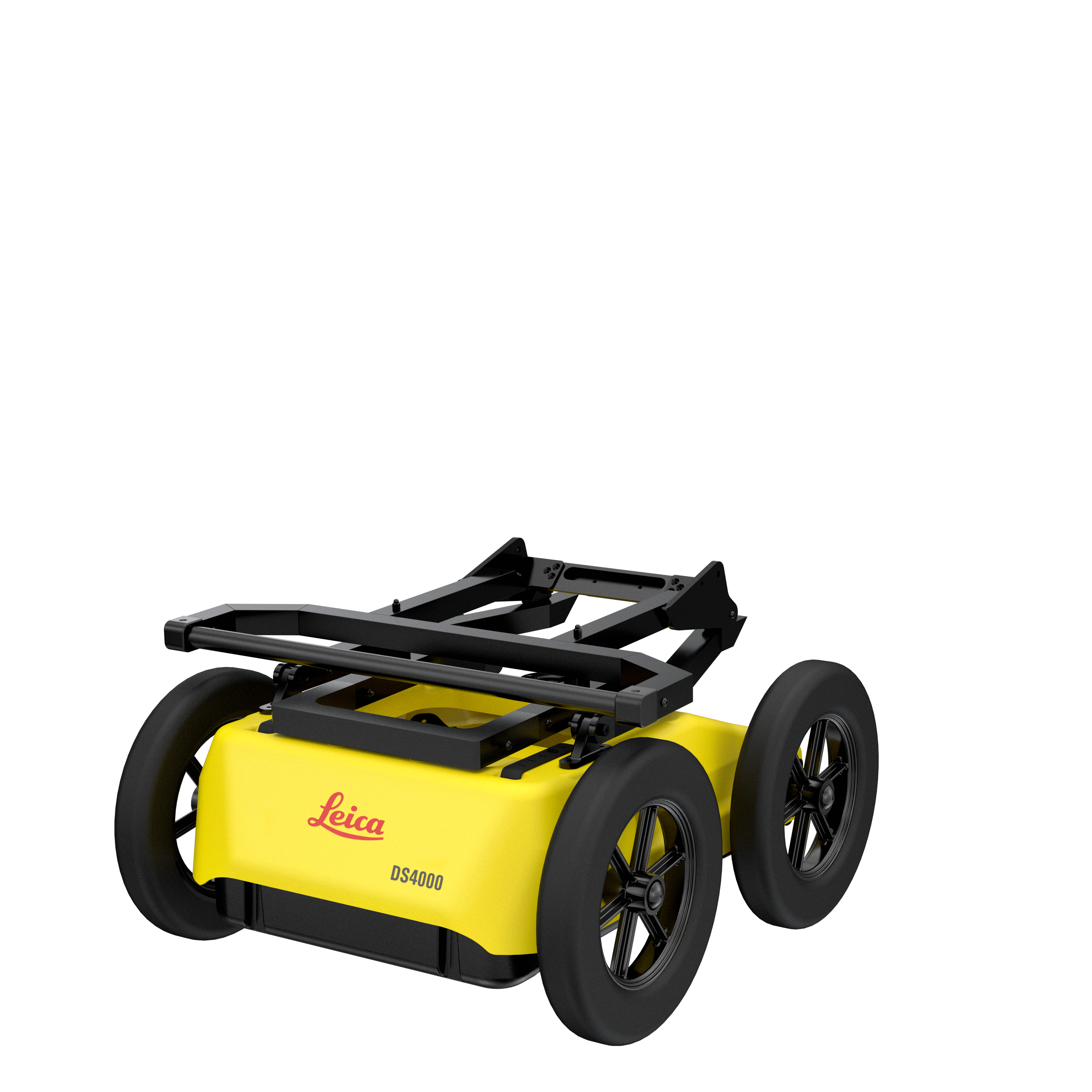
Lightweight (20 kg | 44 lb), modular and compact design for effortless data collection. Foldable handlebar for easy deployment and storage of the system. The height-adjustable antenna mounting system easily overcomes obstacles. Hot swap technology for power supply enables uninterrupted data acquisition.
Key Benefits
See more and reach deeper with an extended detection range. Easy detection workflow with the Quick Scan mode and on-site reports. Real time on-site marking and digitalization of detected anomalies. Optimal field performance with easy polarization switch (HH and VV) and hot swap technology for power supply.
No-limit to data collection and easy management.
DS4000 employs the latest software technology solutions: uMap field software for fast data collection and easy management and IQMaps post-processing software for advanced analysis.
| Brochures | |
|---|---|
| LEICA DS4000 BRO eng.pdf - Brochure | Datasheets |
| Leica DS4000 - Ground Penetrating Radar (GPR) - Datasheet |


Brand: Leica Geosystems |
Code: LG1023281
APN: 9319499323400 |
Supplier Code: 1023281

Brand: Leica Geosystems |
Code: LG1023281
APN: 9319499323400 |
Supplier Code: 1023281
At a glance
- Unmatched Detection Depth
Detects underground utilities up to 60% deeper than traditional GPR systems. - Patented Equalized Scrambling Technology (EST)
Ensures crystal-clear visibility of complex underground networks, helping teams avoid costly damage and safety risks. - Ultra-Light & Mobile
Weighing 20kg, the DS4000 is compact and engineered for single-user deployment. - Fast, Streamlined Workflow
With Quick Scan Mode, intuitive controls, and no GPS dependency, users can scan, mark, and move with speed. - Flexible Positioning Options
Works standalone or integrates seamlessly with GPS/GNSS or Total Station for full project workflows and client-ready deliverables. - Advanced Software Integration
uMap Field Software – Simple, fast, real-time data capture and mapping
IQMaps – Optional detailed post-processing and reporting for deeper analysis and better decision-making
|
Accurate data and reduced risk With the DS4000, surveyors can deliver accurate data in complex environments thanks to EsT patented technology, which extends the detection range. Construction and utilities teams can reduce risk, avoid costly setbacks during excavation, and keep their timelines on track. |
|
|
|
Simplify your detection workflow DS4000 employs the latest software technology solutions: uMap field software for fast data collection and easy management and IQMaps post-processing software for advanced analysis. |
|
DS4000 Accessories (Optional) External positioning support for mounting GPS/GNSS or Total Station Off-road wheels designed for reliable performance on challenging terrains Hard shipping box for safe transportation |
|
|
|
Designed to perform Lightweight (20 kg | 44 lb), modular and compact design for effortless data collection. Foldable handlebar for easy deployment and storage of the system. The height-adjustable antenna mounting system easily overcomes obstacles. Hot swap technology for power supply enables uninterrupted data acquisition. |
|
Key Benefits See more and reach deeper with an extended detection range. Easy detection workflow with the Quick Scan mode and on-site reports. Real time on-site marking and digitalization of detected anomalies. Optimal field performance with easy polarization switch (HH and VV) and hot swap technology for power supply. |
|
|
|
No-limit to data collection and easy management. DS4000 employs the latest software technology solutions: uMap field software for fast data collection and easy management and IQMaps post-processing software for advanced analysis. |
News | Jun 18, 2025
News | Sep 23, 2025
