


CHCNAV CGO 2.0 Software - Post Processing UAV License
CGO software is designed to edit, process, and analyze GNSS data, delivering high-precision positioning results for a wide range of applications. It serves as a sophisticated yet user-friendly platform bridging the gap between field survey activities and GNSS post-processing needs. Ideal for geodetic and surveying tasks, UAV trajectography, ground control points (GCPs), and road construction projects, CGO ensures efficient and accurate workflow from data collection to final analysis.
Comprehensive GNSS Data
Achieve highly accurate geodetic positions with advanced GNSS processing algorithms. CGO processes GPS, GLONASS, BeiDou, Galileo, and QZSS data, ensuring reliable results in a variety of observation file formats, including RINEX, CRINEX, and RTCM.

High-Efficiency Processing
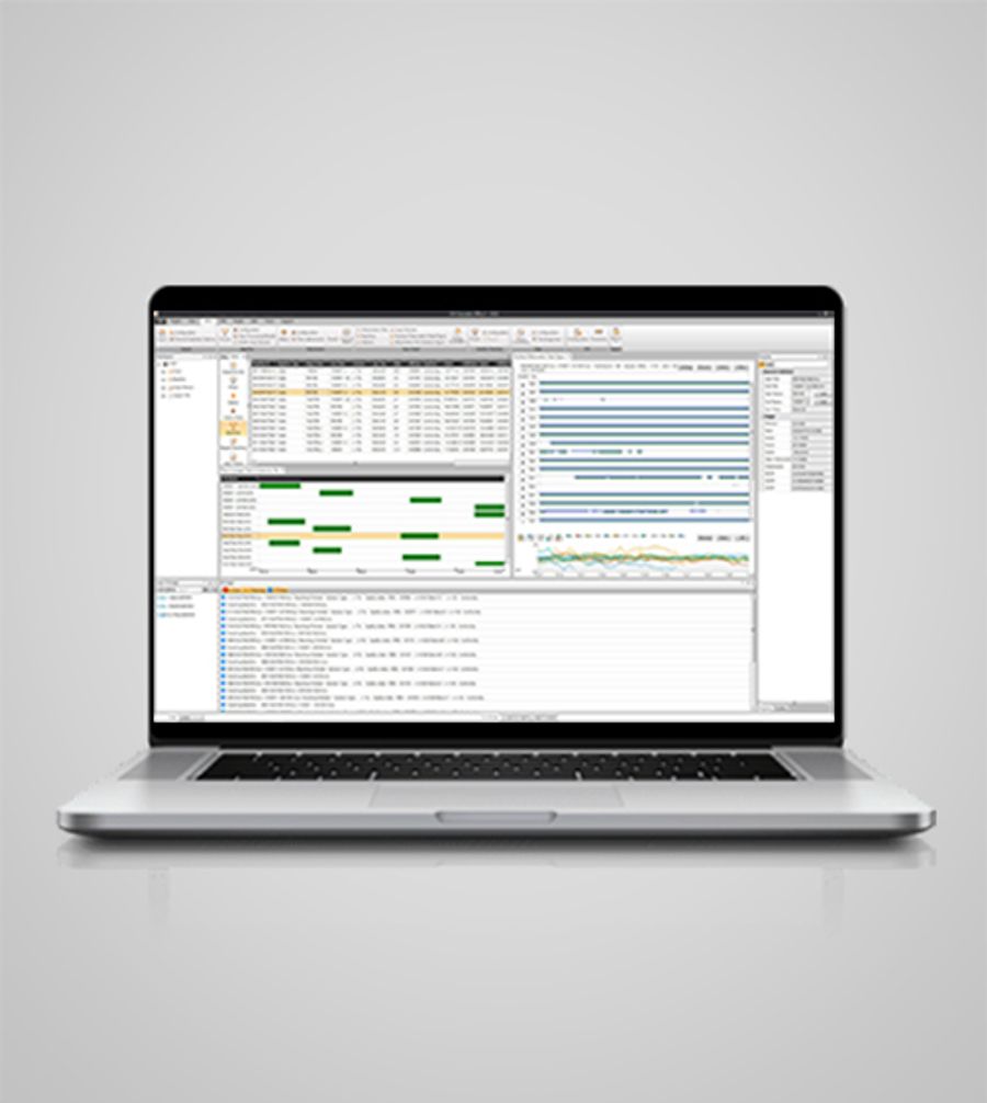
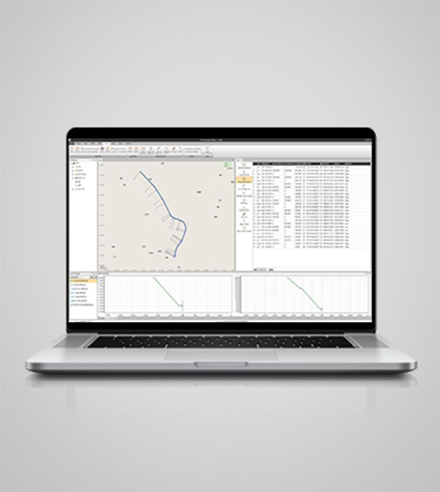
Process massive amounts of field data with advanced static, fast static, PPK, and PPP algorithms. CGO supports correction of field and UAV track coordinates, and integrates RTK and PPK results for comprehensive analysis.
Enhanced Data Visualization
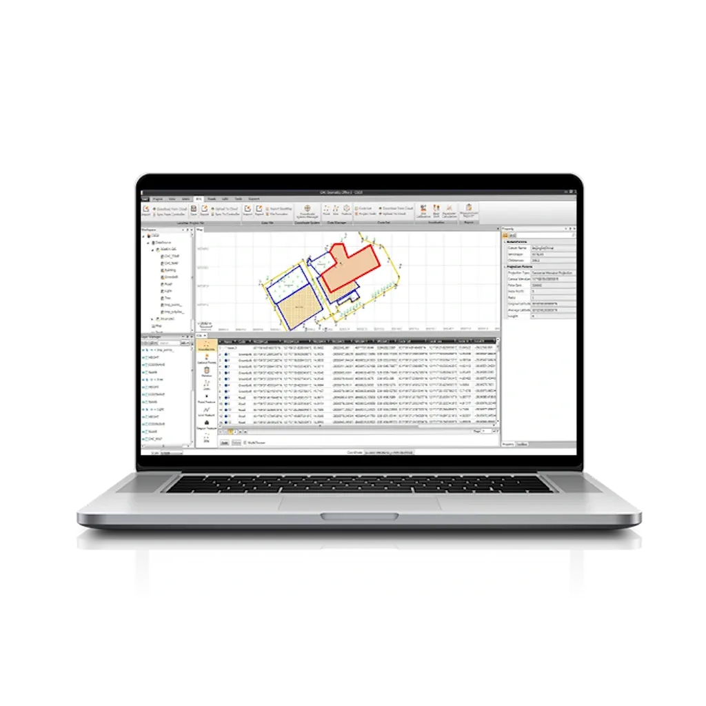
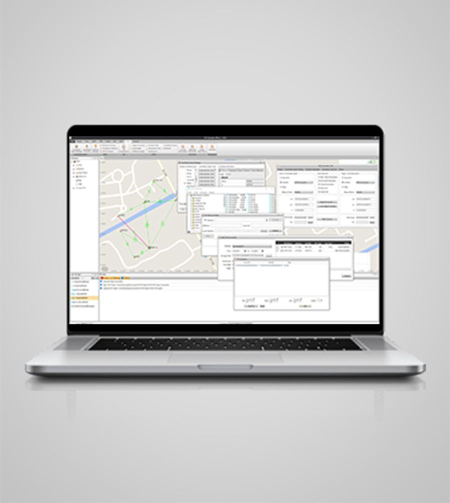
Use a choice of online maps (OSM, Bing, Google, WMS, WMTS) to visualize your data and extend GNSS data post-processing for better decision making.
Versatile Import and Export Options
Export processed data in a variety of formats, including KML, SHP, DXF, HTML, CSV, PDF, RAW, ASC, and TXT. CGO ensures compatibility with industry-standard software for seamless data exchange.
Integrated Geodetic Toolset
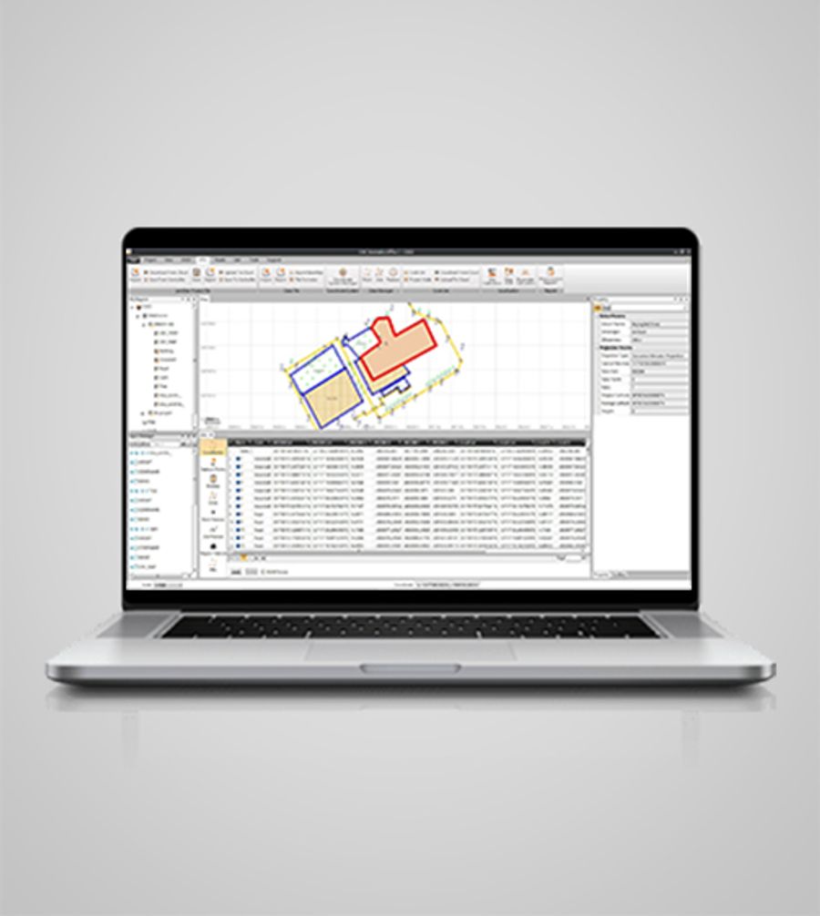
Use a wide range of geodetic tools, including coordinate and RINEX converters and GNSS antenna managers. These tools simplify complex tasks and increase productivity and data accuracy.
Streamlined Workflow
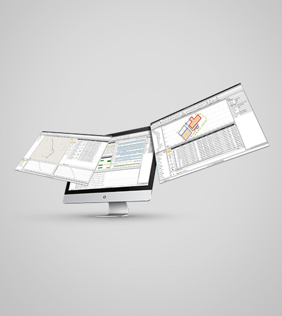
Benefit from an intuitive, customizable user interface that adapts to your way of working. CGO2's built-in modules provide a streamlined transition from field data collection to post-processing, reducing the learning curve.
Brand: CHCNAV |
Code: 1904440048
APN: 9319499329327 |
Supplier Code: 1904440048
Brand: CHCNAV |
Code: 1904440048
APN: 9319499329327 |
Supplier Code: 1904440048
At a glance
CGO software is designed to edit, process, and analyze GNSS data, delivering high-precision positioning results for a wide range of applications. It serves as a sophisticated yet user-friendly platform bridging the gap between field survey activities and GNSS post-processing needs. Ideal for geodetic and surveying tasks, UAV trajectography, ground control points (GCPs), and road construction projects, CGO ensures efficient and accurate workflow from data collection to final analysis.
Comprehensive GNSS DataAchieve highly accurate geodetic positions with advanced GNSS processing algorithms. CGO processes GPS, GLONASS, BeiDou, Galileo, and QZSS data, ensuring reliable results in a variety of observation file formats, including RINEX, CRINEX, and RTCM. |
|
|
|
High-Efficiency ProcessingProcess massive amounts of field data with advanced static, fast static, PPK, and PPP algorithms. CGO supports correction of field and UAV track coordinates, and integrates RTK and PPK results for comprehensive analysis. |
Enhanced Data VisualizationUse a choice of online maps (OSM, Bing, Google, WMS, WMTS) to visualize your data and extend GNSS data post-processing for better decision making. |
|
|
|
Versatile Import and Export OptionsExport processed data in a variety of formats, including KML, SHP, DXF, HTML, CSV, PDF, RAW, ASC, and TXT. CGO ensures compatibility with industry-standard software for seamless data exchange. |
Integrated Geodetic ToolsetUse a wide range of geodetic tools, including coordinate and RINEX converters and GNSS antenna managers. These tools simplify complex tasks and increase productivity and data accuracy. |
|
|
|
Streamlined WorkflowBenefit from an intuitive, customizable user interface that adapts to your way of working. CGO2's built-in modules provide a streamlined transition from field data collection to post-processing, reducing the learning curve. |
