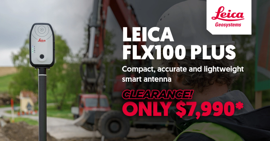
The Leica FLX100 plus provides a versatile and cost-effective solution for capturing high-accuracy spatial data. Ideal for a range of field applications—including as-built documentation, setout for utilities, landscaping, and fencing—it also supports surface checks against civil design models. With full support for all four GNSS constellations (GPS, GLONASS, Galileo, and BeiDou), the FLX100 plus delivers reliable precision in a compact and adaptable form.
Compatible with Android, Apple and Windows
Compatible with software's such as
- • Leica Zeno mobile One
- • ArcGIS Online or ArcGIS Online Enterprise
- • Micro survey FieldGenius
- • Geolantis
- • PointMan
- • And many more!
*Price includes GPS Only


