

DJI Zenmuse L3 LiDAR - Includes Care Plus
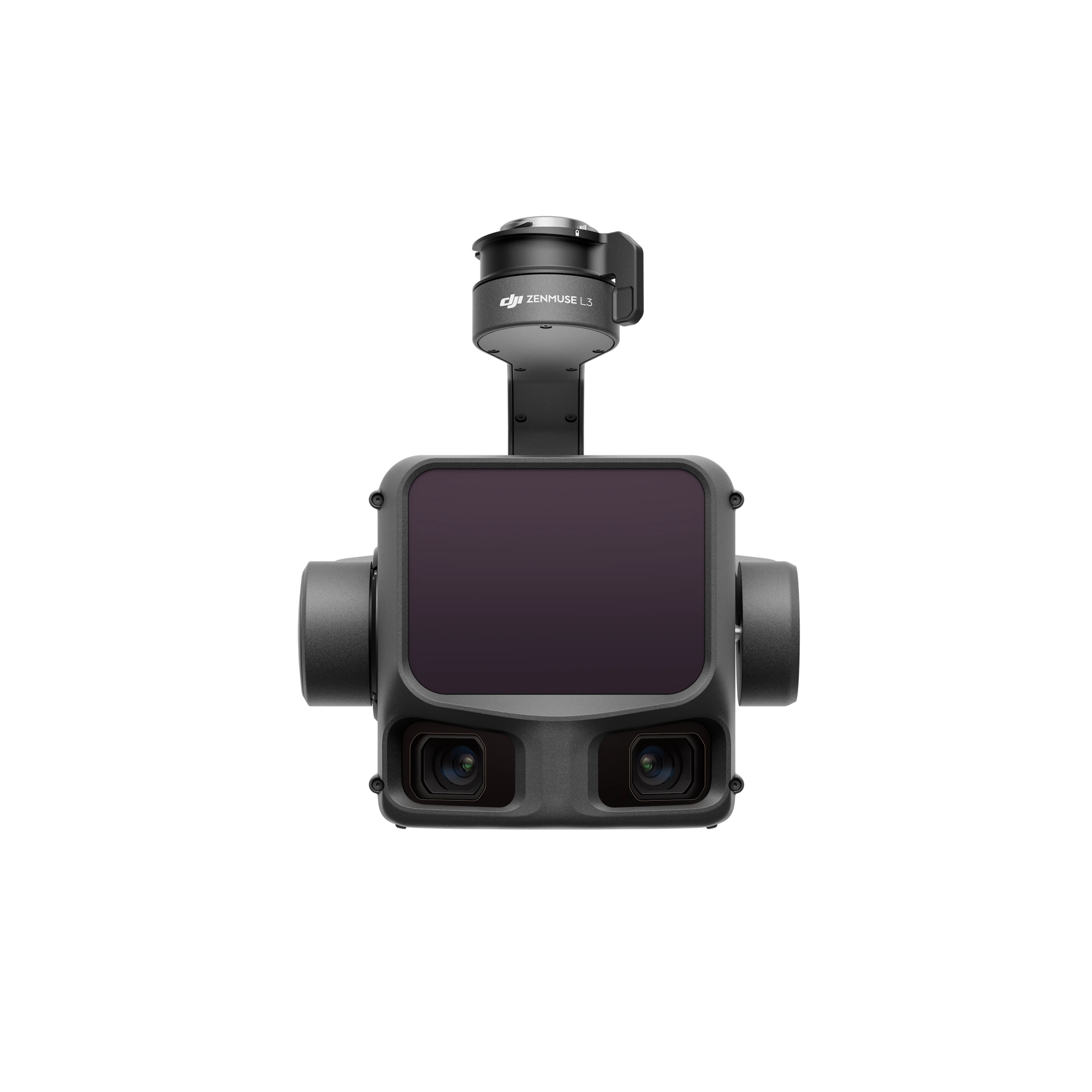
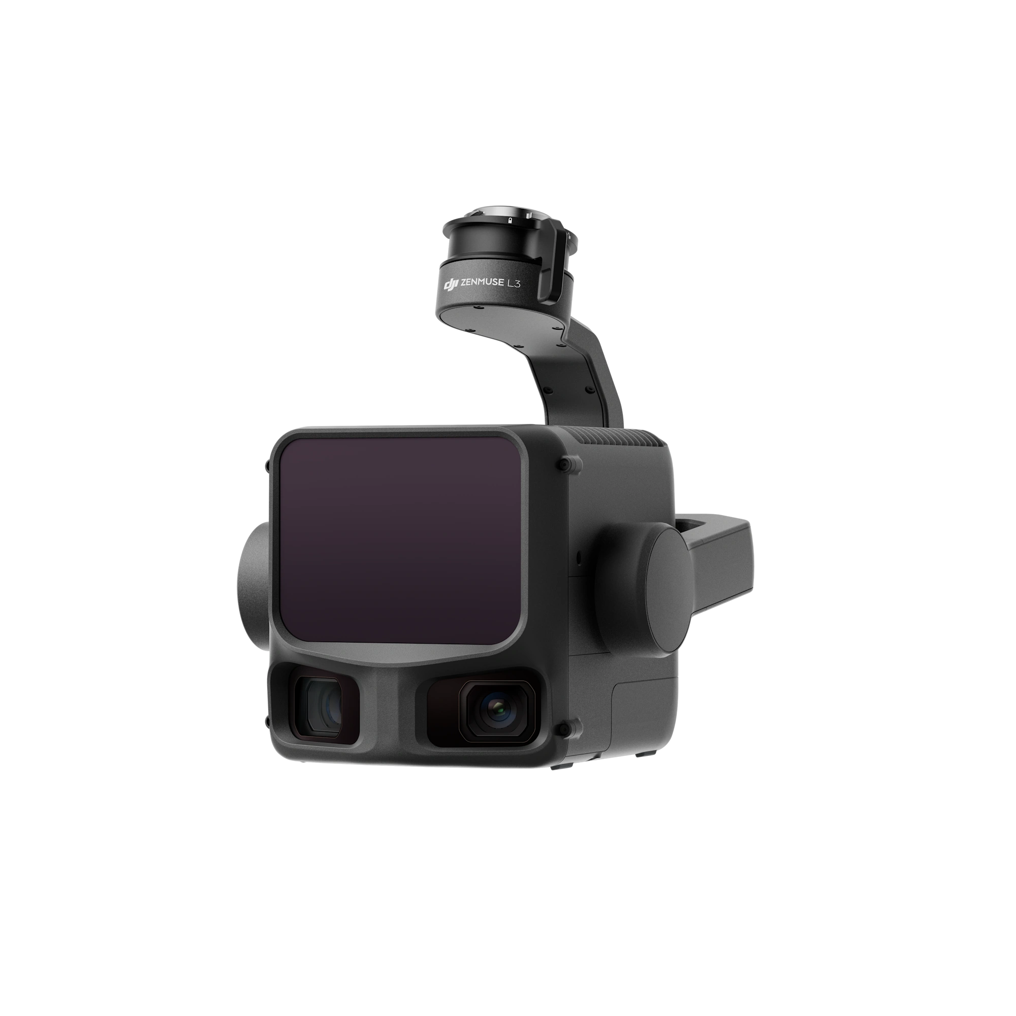
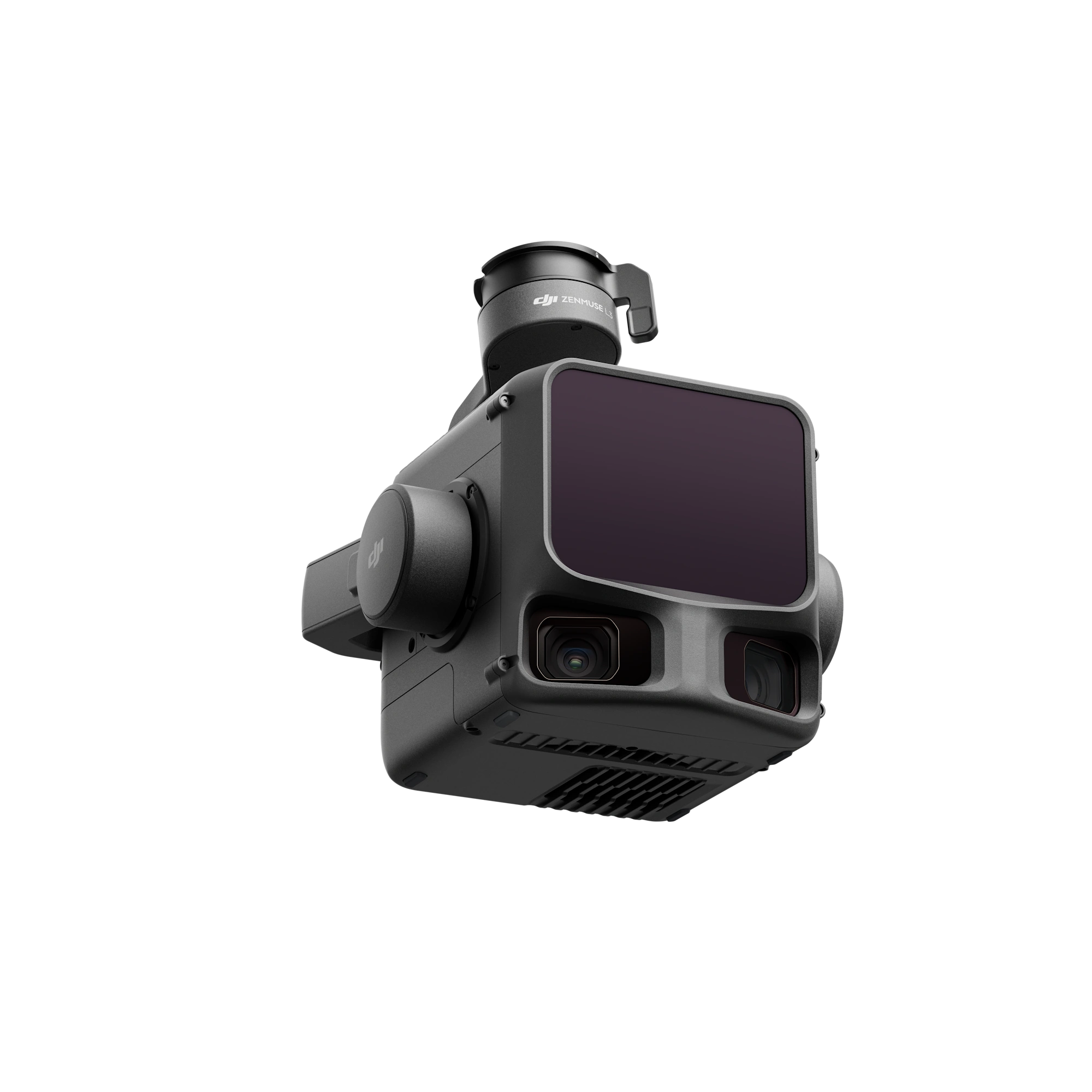
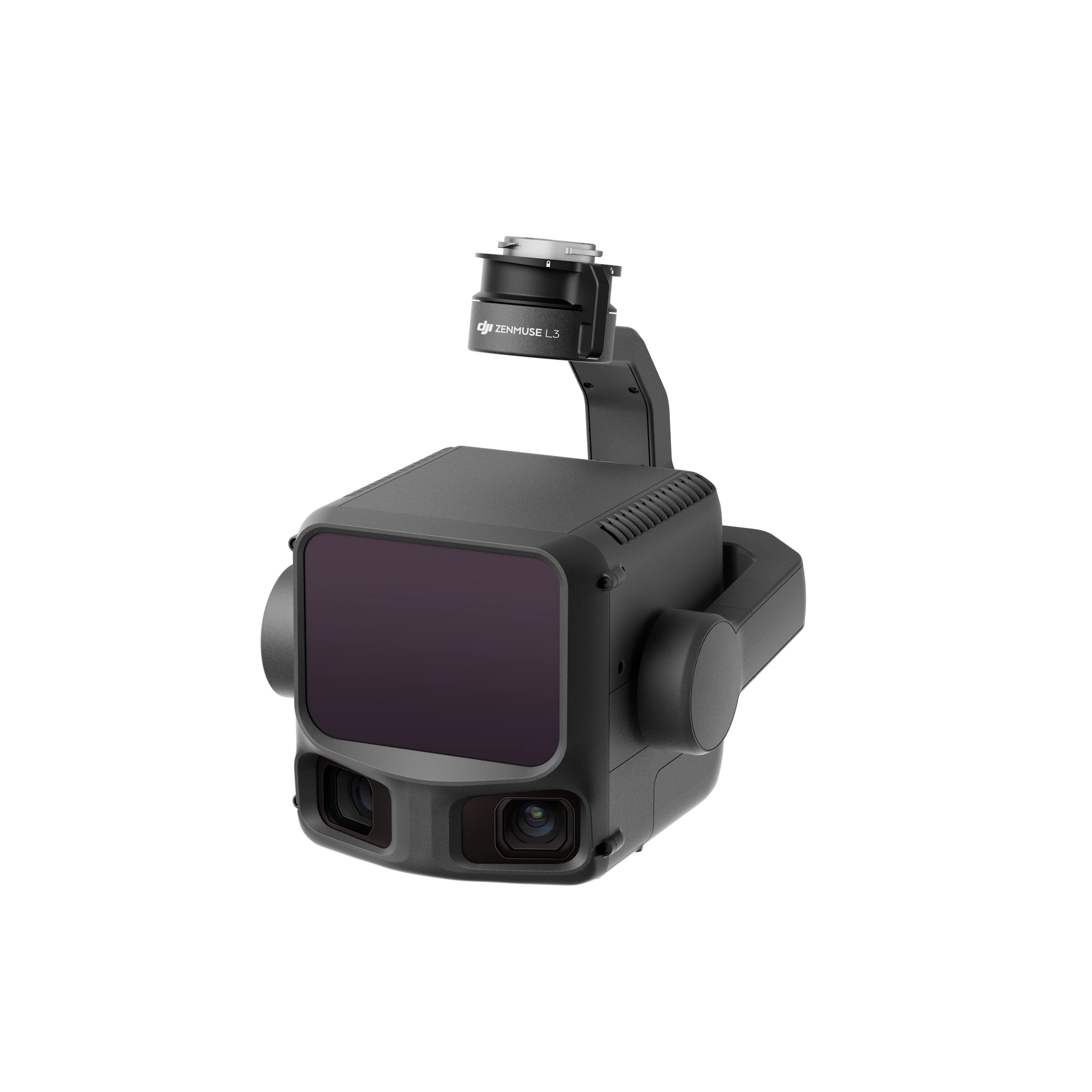
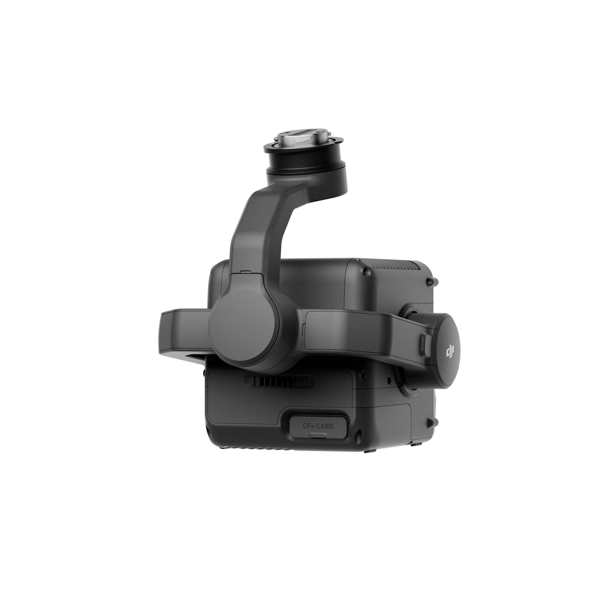
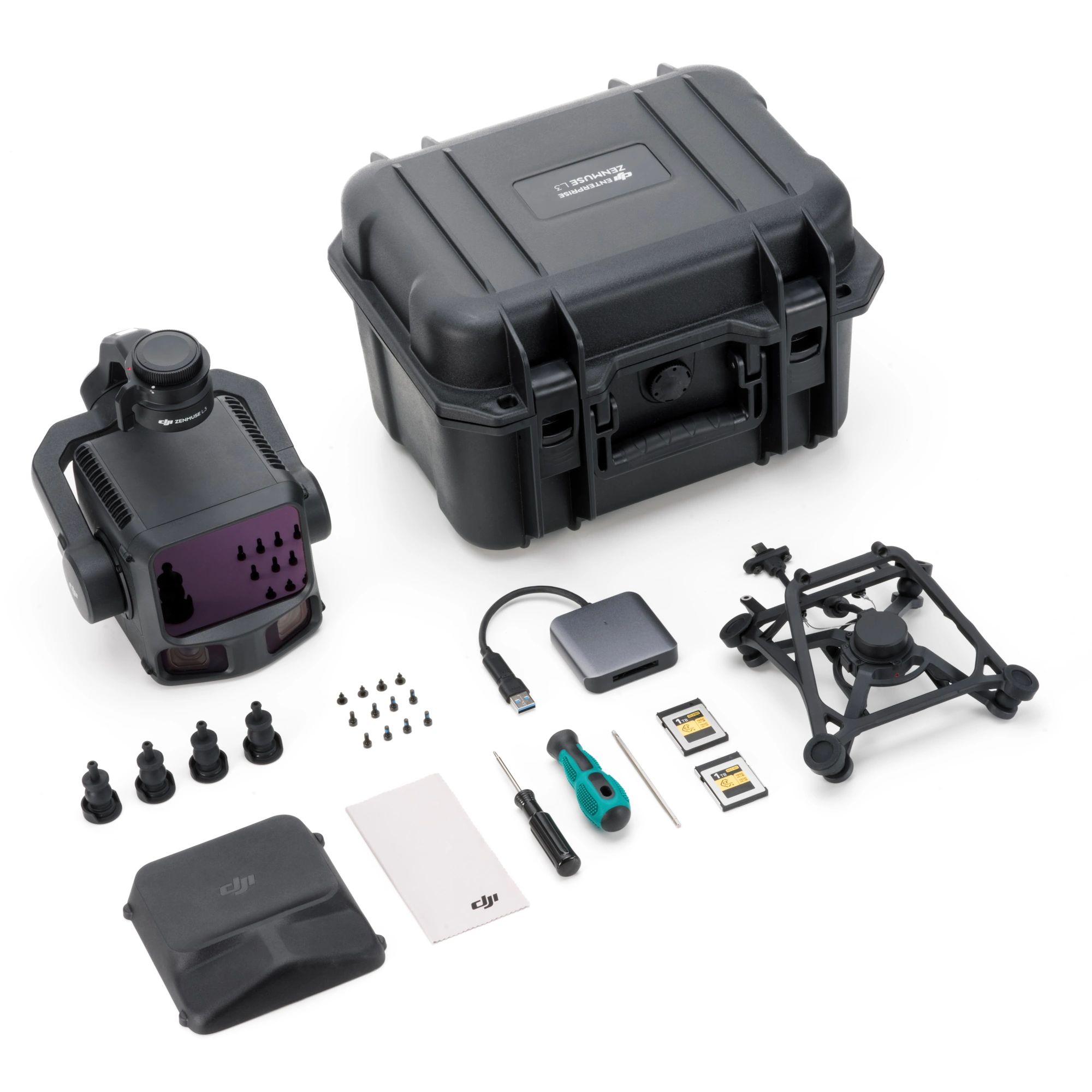
- Zenmuse L3 is DJI's latest generation high-accuracy aerial LiDAR system.
- Features long-range LiDAR capable of reaching up to 950m even on objects with just 10% reflectivity.
- Dual 100MP RGB mapping cameras and a high-precision POS system accelerate geospatial data acquisition,
- Capable of daily coverage of up to 100 km².
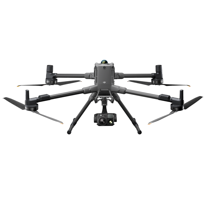
- Compatible with the DJI Matrice 400 RTK.
Long Range, Wide Coverage
Zenmuse L3 achieves a maximum detection range of 950m at a pulse rate of 100 kHz, tested under 100 klx ambient light and on objects with 10% reflectivity. The adjustable pulse rate allows for flexible power output and optimal adaptation to different operational scenarios. Typical flight altitudes of 300 to 500 m significantly expand single-flight coverage and boost mapping efficiency.
Small Spot, High Energy
With a laser beam divergence of just 0.25 mrad (1/e²), the spot size at the same range is about one-fifth that of Zenmuse L2, enabling detection of smaller objects such as power lines and branches. Higher energy density results in stronger penetration capability, significantly increasing ground point density beneath vegetation and enabling high-accuracy reconstruction of complex terrains and structures.
High Pulse Rate, Multiple Returns
With maximum laser pulse emission frequency of 2 million pulses per second and support for up to 16 returns, Zenmuse L3 delivers highly accurate spatial reconstruction. Point cloud density and penetration capability can be adjusted to fit needs from high-accuracy mapping to complex environments.
Scanning Modes
Supports Linear, Star-Shaped, and Non-Repetitive scanning modes for different operational scenarios:
Linear: Achieves more consistent point cloud distribution, ideal for high-accuracy terrain mapping.
Star-Shaped: Balances accuracy with multiple scan angles and penetration capability, well-suited for forests or dense urban environments.
Non-Repetitive: Provides multiple scan angles and broader coverage, optimized for power line inspections and other complex structural surveys.
LiDAR Data Accuracy
Vertical accuracy is better than 3 cm at 120m altitude, better than 5 cm at 300 m, and better than 10 cm at 500m, easily supporting mapping projects at 1:500, 1:1000, and 1:2000 scales. The point cloud thickness produced by Zenmuse L3 is only half that of Zenmuse L2, supporting advanced analysis and high-accuracy applications.
Photogrammetric Accuracy
With dual 100MP RGB mapping cameras, Zenmuse L3 achieves a ground sample distance (GSD) of 3 cm even at a 300m flight altitude. Real-time position synchronization enables operation without ground control points (GCPs), ensuring high-quality imagery for precise mapping.
| Hardware | |
| Point Cloud System Accuracy | At 120m Flight Altitude: Vertical Accuracy: 3 cm (RMSE) Horizontal Accuracy: 4 cm (RMSE) At 300m Flight Altitude: Vertical Accuracy 5 cm (RMSE) Horizontal Accuracy: 7.5 cm (RMSE) |
| Point Cloud Thickness | 1.2 cm@1σ (120m nadir flight altitude) 2 cm@1σ (300m nadir flight altitude) |
| Combined Horizontal FOV (Dual RGB Mapping Cameras) | 107° |
| RGB Ground Sampling Distance (GSD) | Average Value: 3 cm (300m nadir flight altitude) |
| Weight | 1.60 kg (without single gimbal connector) |
| Dimensions | 192×162×202 mm (L×W×H) |
| Power | 64 W (typical) 100 W (max) |
| Supported Aircraft | DJI Matrice 400 (requires the Zenmuse L3 single gimbal connector) |
| Ingress Protection Rating | IP54 |
| Operating Temperature | -20° to 50°C |
| Storage Temperature | -40° to 70°C |
| LiDAR | |
| Laser Wavelength | 1535 nm |
| Laser Beam Divergence | 0.25 mrad (1/e²) |
| Laser Spot Size | Φ 41 mm@120 m (1/e²) Φ 86 mm@300 m (1/e²) |
| Detection Range | 700 m@10% reflectivity, 350 kHz 950 m@10% reflectivity, 100 kHz 2000 m@80% reflectivity, 100 kHz |
| Wire Detection Range | 21.6mm Steel Core Aluminum Stranded Wire: 300 m@100 klx, 350 kHz 18.4mm Black PVC Insulated Wire: 100 m@100 klx, 350 kHz |
| Ranging Accuracy | Absolute Accuracy: ±10 mm Repeatability: < 5 mm (1σ) |
| Minimum Effective Detection Distance | 10m |
| Laser Pulse Emission Frequency | 100 kHz, recommended flight altitude < 500 m 350 kHz, recommended flight altitude < 300 m 1000 kHz, recommended flight altitude < 100 m 2000 kHz, recommended flight altitude < 50 m |
| Number of Returns | 4, 8, 16 returns (100 kHz, 350 kHz) 4, 8 returns (1000 kHz) 4 returns (2000 kHz) |
| Cross-Cycle Calculation | 7 times |
| Scanning Mode and FOV | Linear Scanning Mode: Horizontal 80°, vertical 3° Star-Shaped Scanning Mode: Horizontal 80°, vertical 80° Non-Repetitive Scanning Mode: Horizontal 80°, vertical 80° |
| Laser Safety Classification | Class 1 (IEC 60825-1:2014) |
| RGB Mapping Camera | |
| Sensor | 4/3 CMOS |
| Lens | Equivalent Focal Length: 28 mm FOV: 73.3° (diagonal), 62° (horizontal), 41.2° (vertical) Aperture: f/2.0-f/11 |
| Shutter | Mechanical Shutter: 2-1/1500 s (f/2.0), 2-1/2000 s (f/2.8-f/11) Shutter Count: 500,000 Electronic Shutter: 2-1/16000 s |
| Photo Size | 100 MP: 12288×8192 25 MP: 6144×4096 |
| Minimum Photo Interval | JPEG: 25 MP: 0.5 s 100 MP: 1 s RAW or JPEG + RAW: 1.2 s |
| Video Specification | Video Format: MP4 (MPEG-4 HEVC/H.265) Resolution: 4K: 3840×2160@30fps FHD: 1920×1080@30fps |
| Position and Orientation System (POS) | |
| GNSS Update Rate | 5 Hz |
| POS Update Rate | 200 Hz |
| Attitude Error | Yaw Angle: 0.02° (post-processed, 1σ) Pitch/Roll Angle: 0.01° (post-processed, 1σ) |
| Positioning Accuracy | Horizontal Accuracy: 1.0 cm + 1 ppm (RTK fix) Vertical Accuracy: 1.5 cm + 1 ppm (RTK fix) |
| Supported PPK Differential Data Formats | DAT: Generated in Base Station Mode by D-RTK 3 Multifunctional Station and D-RTK 2 RINEX: v2.1x, v3.0x RTCM: v3.0, v3.1, v3.2, v3.3 (protocols: MSM3, MSM4, MSM5, MSM6, MSM7) OEM: OEM4, OEM6 |
| Gimbal | |
| Degrees of Freedom | 3-axis (pitch, roll, yaw) |
| Angular Accuracy | ±0.01° |
| Mechanical Range | Mechanical Range Pitch: -135° to +73° Roll: -90° to +60° Yaw: -105° to +105° |
| Controllable Range | Pitch: -120° to +60° Yaw: -80° to +80° |
| Self-Check Method | Roll Axis: Self-check not required Yaw Axis: Checks using limit stop Pitch Axis: Self-check not required |
| Mounting Method | Detachable DJI SKYPORT (Zenmuse L3 single gimbal connector) |
| Product Manuals | |
|---|---|
| DJI Zenmuse L3 LiDAR - Includes Care Plus - Product Manual |


"Best prices guaranteed! We’ll match or beat any legitimate prices."
Read the CASA Drone regulations @ knowyourdrone.gov.au
Brand: DJI |
Code: DJIZENMUSEL3
APN: 6937224133778 |
Supplier Code: CB.202510103615

Brand: DJI |
Code: DJIZENMUSEL3
APN: 6937224133778 |
Supplier Code: CB.202510103615
At a glance
- Zenmuse L3 is DJI's latest generation high-accuracy aerial LiDAR system.
- Features long-range LiDAR capable of reaching up to 950m even on objects with just 10% reflectivity.
- Dual 100MP RGB mapping cameras and a high-precision POS system accelerate geospatial data acquisition,
- Capable of daily coverage of up to 100 km².
- Compatible with the DJI Matrice 400 RTK.
"Best prices guaranteed! We’ll match or beat any legitimate prices."
Read the CASA Drone regulations @ knowyourdrone.gov.au
