Pix4D Photogrammetry Software

PIX4D is the leading photogrametry package, ideal for Surveying, Mining, Public Safety, Construction, Agriculture and Education industries.
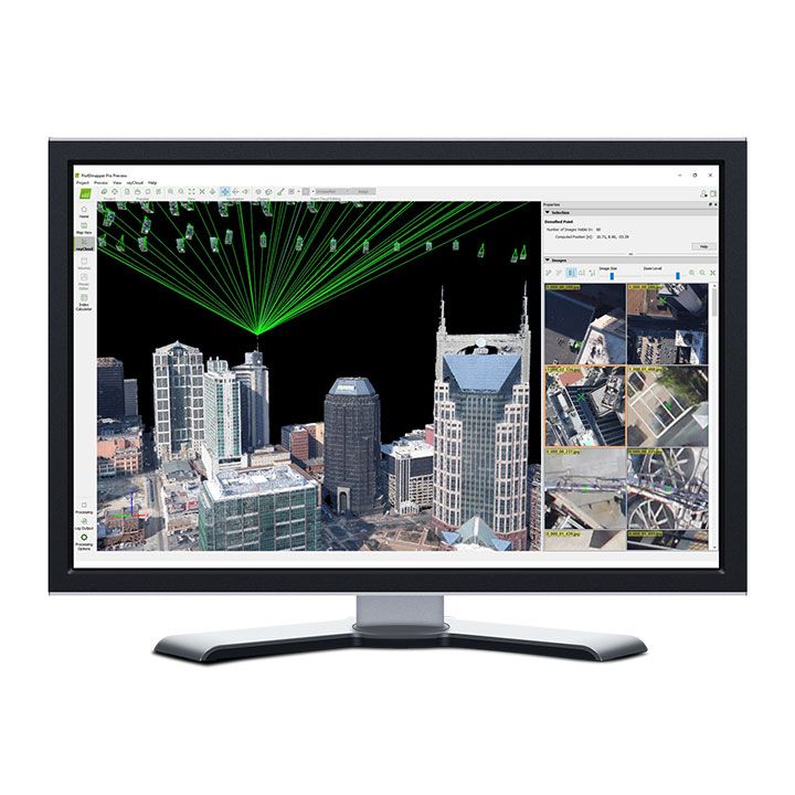
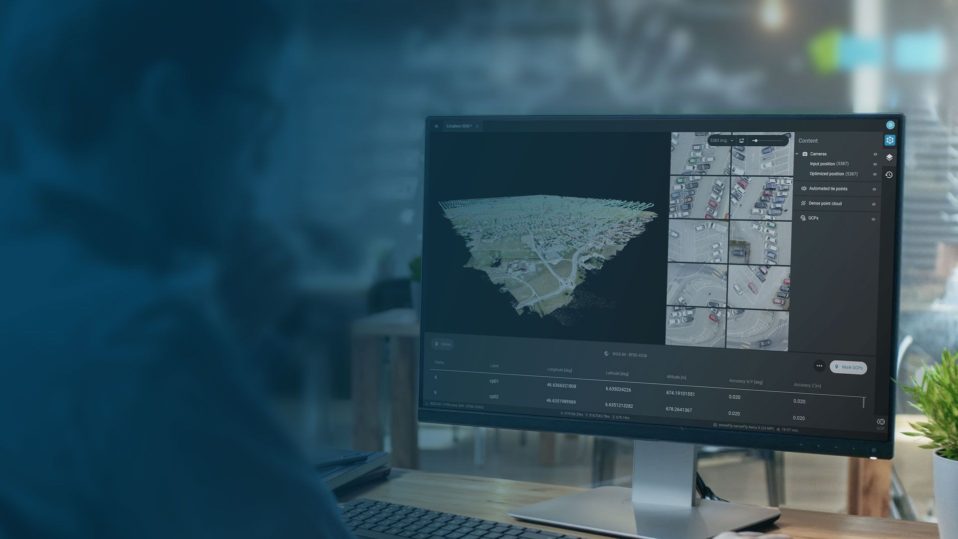
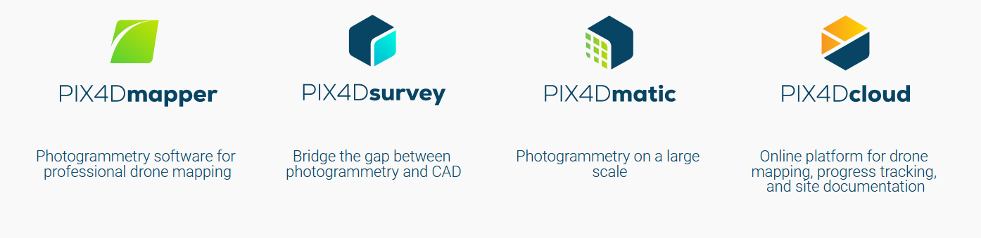
Photogrammetry software for professional drone mapping


Bridge the gap between photogrammetry and CAD
Photogrammetry on a large scale


Online Platform for drone, mapping, progress tracking and site documentation

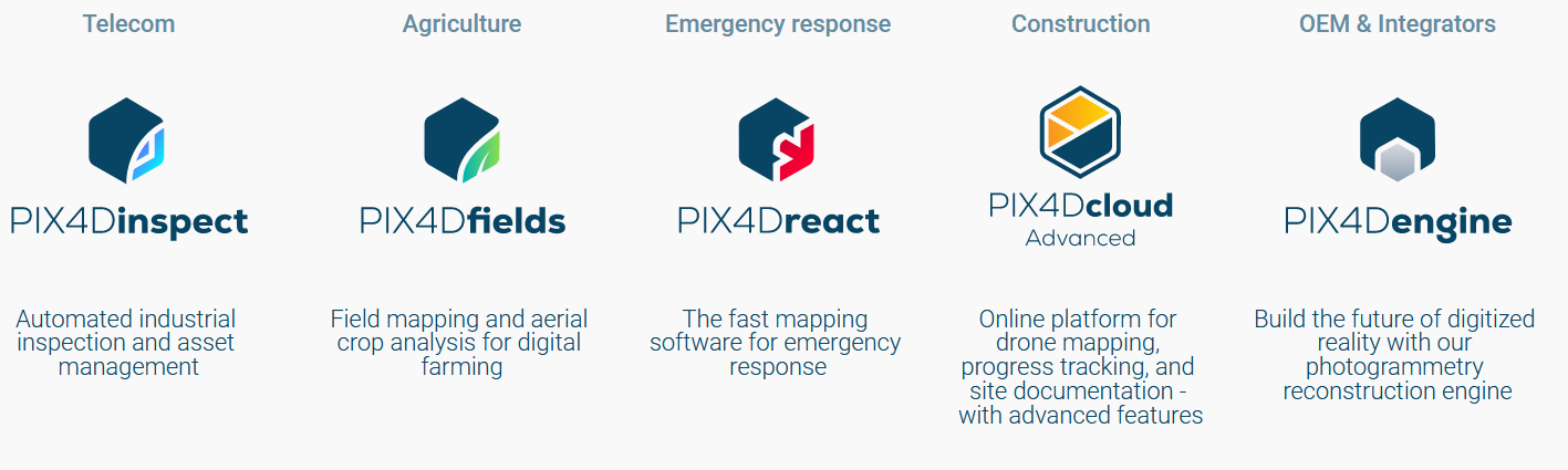
Telecom
Automated industrial inspection and asset management


Agriculture
Field mapping and aerial crop analysis for digital farming

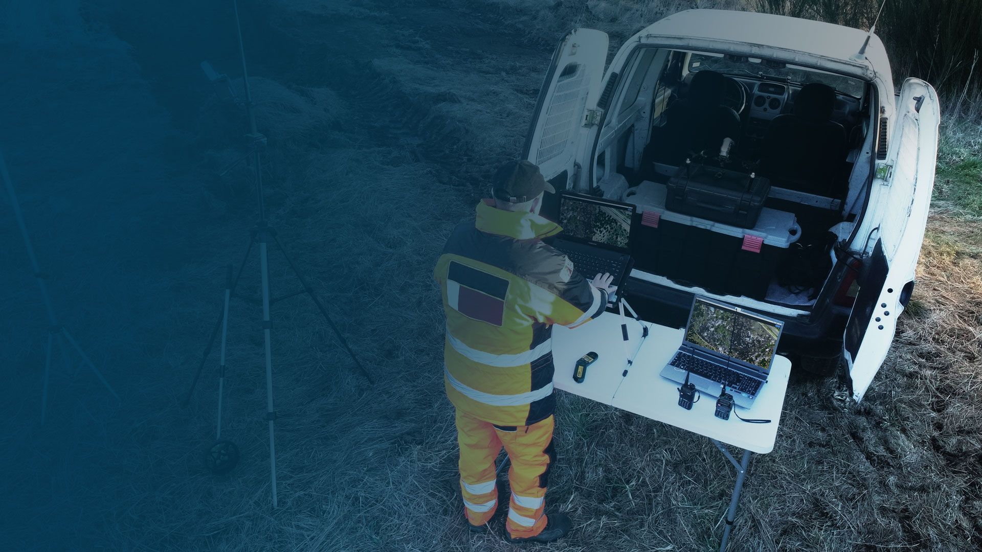
Emergency Response
The fast mapping software for emergency response


Online Platform fdor drone mapping, progress tracking, and site documentation - with advanced features

OEM & Integrators
Build the future of digitized reality with our photogrammetry reconstruction engine

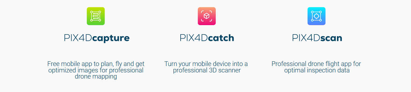
Free mobile app to plan, fly and get optimized images for professional drone mapping
Free mobile app to plan, fly and get optimised images for professional drone mapping

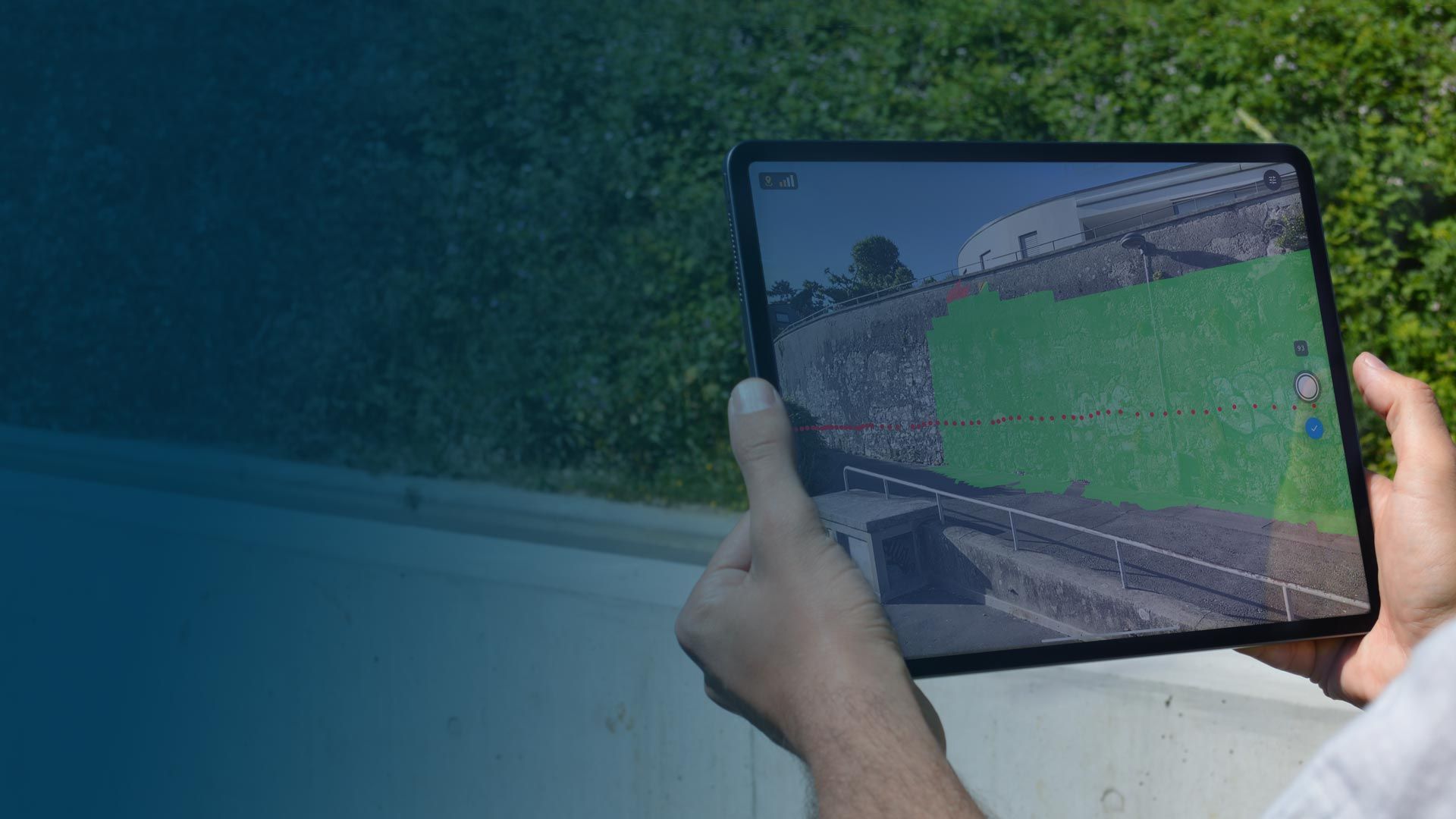

Turn your mobile device into a professional 3D scanner
Professional drone flight app for optimal inspection data

| Comparison Charts | |
|---|---|
| Pix4D products master comparison table - Comparison Chart | Brochures |
| pix4d - Brochure | Datasheets |
| Pix4D Photogrammetry Software - Datasheet |

Brand: Pix4D |
Code: PIX4D
Supplier Code: PIX4D
Brand: Pix4D |
Code: PIX4D
Supplier Code: PIX4D
At a glance
PIX4D is the leading photogrametry package, ideal for Surveying, Mining, Public Safety, Construction, Agriculture and Education industries.
|
|
|
|
|
Bridge the gap between photogrammetry and CAD |
|
|
|
|
|
Online Platform for drone, mapping, progress tracking and site documentation |
TelecomAutomated industrial inspection and asset management |
|
|
|
AgricultureField mapping and aerial crop analysis for digital farming |
Emergency ResponseThe fast mapping software for emergency response |
|
|
|
Online Platform fdor drone mapping, progress tracking, and site documentation - with advanced features |
OEM & IntegratorsBuild the future of digitized reality with our photogrammetry reconstruction engine |
|
|
|
Free mobile app to plan, fly and get optimized images for professional drone mapping |
|
|
|
|
|
Turn your mobile device into a professional 3D scanner |
|
|
|
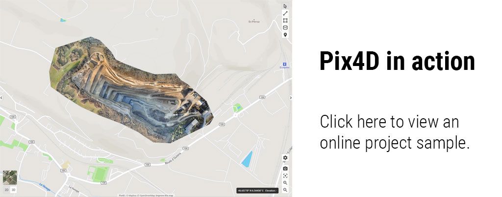
The Only Drone Mapping & Photogrammetry Software Tools With a Flight App, Desktop, and Cloud Platforms
Photogrammetry and Geospatial software
Industry specific applications
Data capture applications
Data capture devices