Leica GS18 GNSS RTK Rover
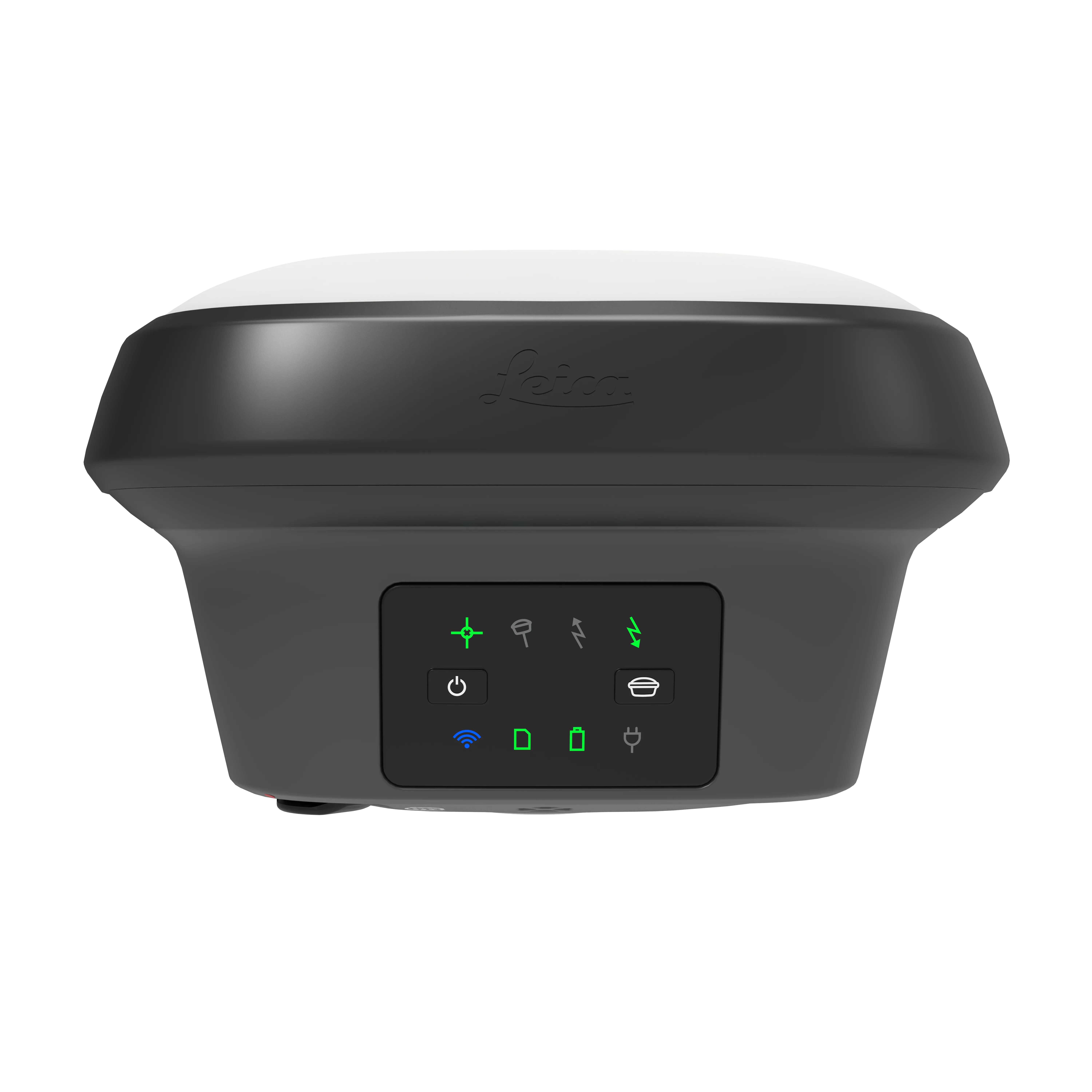
- The GNSS smart antenna that grows with your business
- Self learning GNSS smart antenna.
- Works as both a rover and a base.
- Can be upgraded to the GS18 T tilt compensating rover.
The Leica GS18 is a self-learning GNSS smart antenna. GS18 inherits all features of the Leica GS18 T except tilt compensation. However, the GS18 grows with your business: upgrade it to a tilt compensating system at any time.
| Comparison Charts | |
|---|---|
| GNSS Smart Antennas Comparison Chart - Comparison Chart | Datasheets |
| Leica GS18 GNSS RTK Rover - Datasheet |
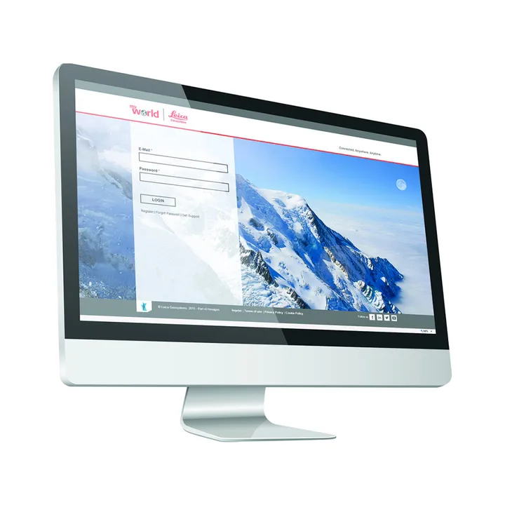
Leica Geosystems has developed an online learning platform for a wide range of products, to further educate customers to maximise the functionality of their instruments.
Our products have many excellent features which all contribute to increasing efficiency on site and the online learning platform assists you to gain the most value from your products.
The online learning courses are available to anyone who has a Leica Geosystems myWorld account, and an active Customer Care Package (CCP) for supported products.
Brand: Leica Geosystems |
Code: LG939675
APN: 9319499225834 |
Supplier Code: 939675

Brand: Leica Geosystems |
Code: LG939675
APN: 9319499225834 |
Supplier Code: 939675
At a glance
- The GNSS smart antenna that grows with your business
- Self learning GNSS smart antenna.
- Works as both a rover and a base.
- Can be upgraded to the GS18 T tilt compensating rover.
|
The Leica GS18 is a self-learning GNSS smart antenna. GS18 inherits all features of the Leica GS18 T except tilt compensation. However, the GS18 grows with your business: upgrade it to a tilt compensating system at any time. |
|

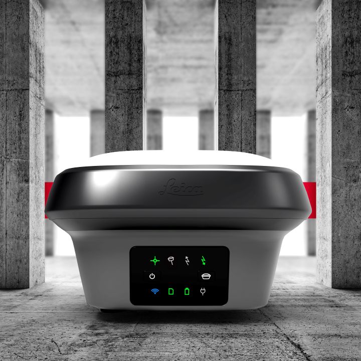
The GS18 is an excellent companion to a surveyor that primarily works with a network RTK such as HxGN SmartNet. Like most of the Leica Geosystems GNSS smart antennas, the GS18 works as a rover and a base.
TILT COMPENSATION UPGRADE
Whenever you need the efficiency and safety improvements gained from tilted measurements, upgrade your GS18 to a tilt compensating rover. Any Leica Geosystems service can do the upgrade at any time.
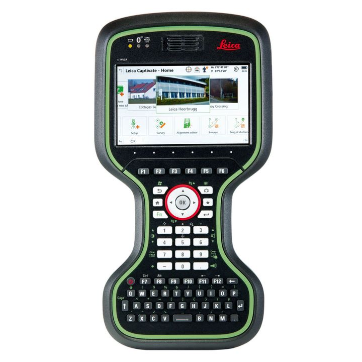
ENGAGING SOFTWARE
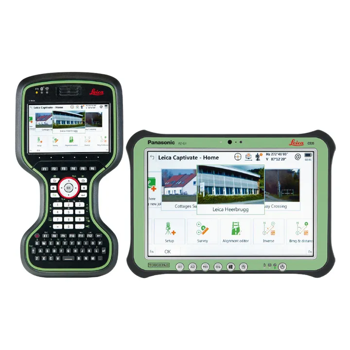
The Leica Captivate field software is the perfect companion for the GS18. With easy-to-use apps, all measured and design data can be viewed and used, providing you with a clear understanding of your data in 2D and 3D view. Captivate spans industries and applications with little more than a simple tap, regardless of whether you work with GNSS, total stations or both.
IMPROVED PERFORMANCE
Multipath reduction and interference mitigation options in Captivate boost GNSS signal tracking quality under harsh environments, which improves RTK availability and accuracy. Also, an interference toolkit will enable filtering to remove in- and out-of-band distortions for even more robust GNSS signal tracking.
4G LTE & EXCELLENT MEASUREMENT QUALITY
Tracking multi-frequency signals comes as a standard to all Leica Geosystems GS sensors. Combined with an excellent GNSS antenna element and a position update rate of 20 Hz, the GS18 ensures reliable measurement quality.
INTERNAL MEMORY
Users with any GS18 model have the flexibility to log raw data into an SD card or the internal memory.
ACTIVE CUSTOMER CARE
Through Active Customer Care (ACC), a global network of experienced professionals is only a click away to guide you through any challenge. Control your costs with a Customer Care Package (CCP) which gives you peace of mind you are covered anywhere, anytime.


Leica Geosystems has developed an online learning platform for a wide range of products, to further educate customers to maximise the functionality of their instruments.
Our products have many excellent features which all contribute to increasing efficiency on site and the online learning platform assists you to gain the most value from your products.
The online learning courses are available to anyone who has a Leica Geosystems myWorld account, and an active Customer Care Package (CCP) for supported products.