MicroSurvey STAR*NET
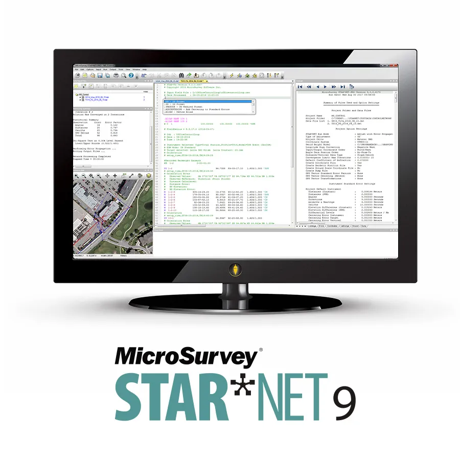
MicroSurvey STAR*NET is an easy-to use application that adjusts 1D/2D/3D survey networks using rigorous least squares techniques. Collect your conventional measurements and GNSS vectors more efficiently and build confidence by ensuring your field data is both accurate and correct.
World Renowned
MicroSurvey’s STAR*NET is the world’s most recognized least squares adjustment software. STAR*NET has earned a reputation for being simple to use, powerfully accurate and reliable as a provider of least squares adjustment solutions. STAR*NET’s results serve as the benchmark for the industry, and is legislated as the mandatory adjustment package in some jurisdictions when used in plan submissions! Users often tell us that when they decided to add least squares adjustment to their workflow, implementing STAR*NET was the next logical step. Let STAR*NET help you improve both the precision of your work and your confidence; by using our world class least squares adjustment software, you can trust that you’ve got it right!
Outputs Coordinates
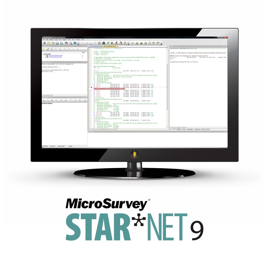
All surveying workflows allow you to compute positions. Using STAR*NET allows you to compute positions, identify the reliability of these positions, and easily sift through the data to reassure yourself that the results are true and free of systematic errors. When processing your measurements, STAR*NET gives you dynamic tips that identify problems and help you learn the required workflow. STAR*NET guides you through assessing your network, helping to ensure that all accepted measurements have the required “goodness of fit”, while comprehensive listing and output options allow you to document your process. This enables you to demonstrate to your clients that the results meet their standards, and that your reference can be relied upon as the pillar of their operation. When you add STAR*NET to your workflow, you’ll never find yourself feeling like you’ve thrown numbers into a “black box”, blindly trusting that the results are accurate; you’ll know they are!
Best solution for combining sensor types
From RPLS forums right down to our direct support team, our customers have told us over and over that “STAR*NET does one thing, least squares, and it does it well.” Least squares adjustments are provided by many solutions, though typically as a part of a package that works with proprietary data from proprietary sensors. STAR*NET provides you with a least squares adjustment solution that works with all your data sources and requirements. There are importers and conversion utilities for data from all major manufacturers. STAR*NET works in 1D (Level), 2D and 3D adjustments and simplifies combining and exporting both ground and grid data. STAR*NET is a practical tool for combining data from total stations, levels, GNSS and gyroscopes. Input data can be given weights to reflect input from old and new instruments, 2D and 3D data and even control points that have long since gone missing. With these robust features, it is no wonder why so many companies have been growing STAR*NET networks for 20+ years, providing a big asset to their company

| Datasheets | |
|---|---|
| MicroSurvey STAR*NET - Datasheet |
Brand: Microsurvey |
Code: SW-SN-PRO
Supplier Code: SW-SN-PRO
Brand: Microsurvey |
Code: SW-SN-PRO
Supplier Code: SW-SN-PRO
At a glance
Get the most out of your least squares.


