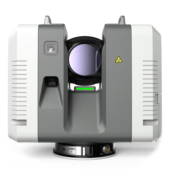
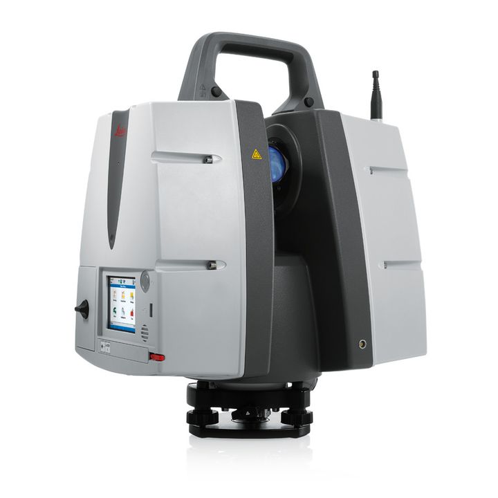
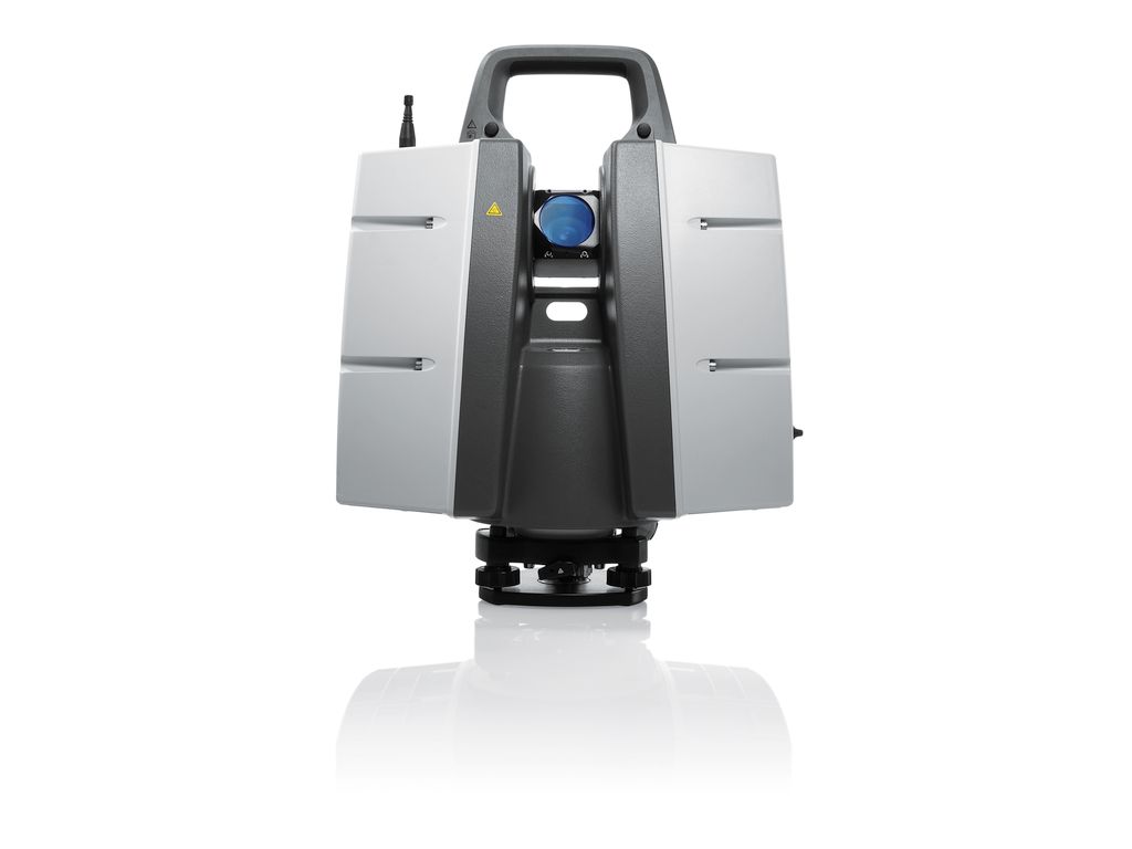
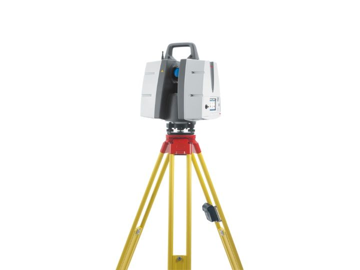
Leica HDS ScanStation P40 Laser Scanner

The right choice
Whether capturing 3D geometry of civil infrastructure, creating an as-built representation of a large industry complex, reconstructing a crime scene or generating 3D data for integration into Building Information Modelling (BIM), you know you’ll need an accurate long range scanning tool for your projects – the new ScanStation P30 and P40 laser scanners from Leica Geosystems are the right choice, because every detail matters.


High performance under harsh conditions
The Leica ScanStations deliver highest quality 3D data and HDR imaging at an extremely fast scan rate of 1 million points per second at ranges of up to 120 metres. Unsurpassed range and angular accuracy paired with low range noise and survey-grade dual-axis compensation form the foundation for highly detailed 3D colour point clouds mapped in realistic clarity.
Reduced downtime
The extremely durable new laser scanners perform even under the toughest environmental conditions, such as extreme temperatures ranging from – 20°C to + 50°C and comply with the IP54 rating for dust and water resistance.


Complete scanning solution
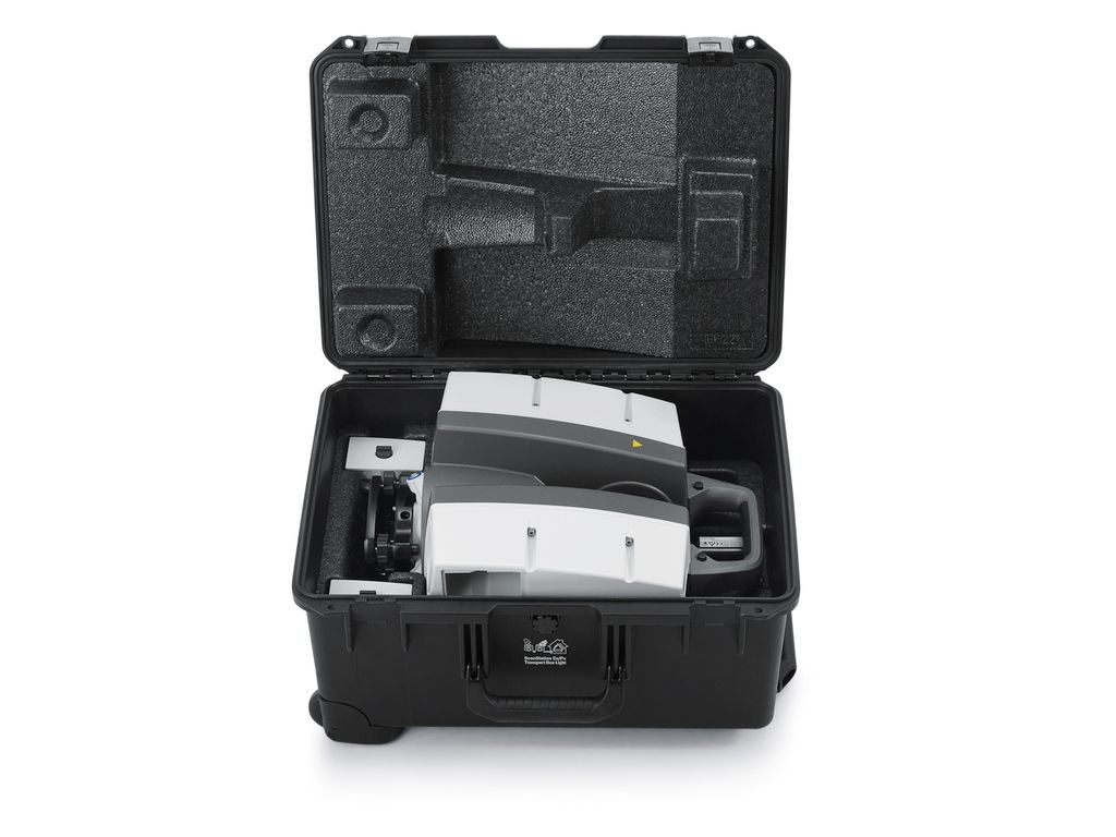
Leica Geosystems offers the new Leica ScanStation portfolio as an integrated part of a complete scanning solution including hardware, software, service, training and support. 3D laser scanner data can be processed in the industry’s leading 3D point cloud software suite, which consists of Leica Cyclone
stand-alone software, Leica CloudWorx plug-in tools for CAD systems and the free Leica TruView.
| Comparison Charts | |
|---|---|
| Laser Scanning Comparison Chart - Comparison Chart | Datasheets |
| Leica HDS ScanStation P40 Laser Scanner - Datasheet | Product Manuals |
| Leica HDS ScanStation P40 Laser Scanner - Product Manual | Specifications |
| Leica HDS ScanStation P40 Laser Scanner - Specifications |
Brand: Leica Geosystems |
Code: LG6009377
APN: 9319499745035 |
Supplier Code: 6009377

Brand: Leica Geosystems |
Code: LG6009377
APN: 9319499745035 |
Supplier Code: 6009377
At a glance
The ScanStation P40 offers highest versatility including long range capabilities. Delivering outstanding range up to 270m, speed and data quality whenever and wherever needed it is the perfect solution for any tasks in 3D laser scanning.|
The right choice Whether capturing 3D geometry of civil infrastructure, creating an as-built representation of a large industry complex, reconstructing a crime scene or generating 3D data for integration into Building Information Modelling (BIM), you know you’ll need an accurate long range scanning tool for your projects – the new ScanStation P30 and P40 laser scanners from Leica Geosystems are the right choice, because every detail matters. |
|
|
|
High performance under harsh conditions The Leica ScanStations deliver highest quality 3D data and HDR imaging at an extremely fast scan rate of 1 million points per second at ranges of up to 120 metres. Unsurpassed range and angular accuracy paired with low range noise and survey-grade dual-axis compensation form the foundation for highly detailed 3D colour point clouds mapped in realistic clarity. |
|
Reduced downtime The extremely durable new laser scanners perform even under the toughest environmental conditions, such as extreme temperatures ranging from – 20°C to + 50°C and comply with the IP54 rating for dust and water resistance. |
|
|
|
Complete scanning solution Leica Geosystems offers the new Leica ScanStation portfolio as an integrated part of a complete scanning solution including hardware, software, service, training and support. 3D laser scanner data can be processed in the industry’s leading 3D point cloud software suite, which consists of Leica Cyclone |

Leica HDS 6" Black & White Tilt and Turn Target Package (Set of 4) for Scanners

Leica HDS GZT21 4.5" Black & White Target Package (Set of 4) for Laser Scanners